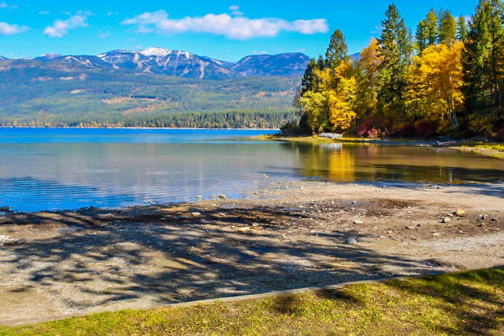
Whitefish Lake State Park


Looking to camp?
Whitefish Lake is host to 25 campsites made up of a mix of tent only, bike travel, and RV camping. You’re sure to find what you need if you plan to stay a night or two!
Many of the campsites here have a secluded feeling as they’re divided by tall trees. If you plan to bring in your RV or trailer, be aware that RV/trailer length is limited to 40 feet.
Kids love watching trains move just along the park’s edge near the campground!
A new hike and bike campsite is perfect for cyclists traveling along the Great Divide route!
The lake is rarely windy making is the perfect destination for water-skiing and other water activities!
Stand-up paddleboards, kayaks, and pedal boats are available to rent June 15-Labor Day from Sea Me Paddle Kayaking Tours, Inc. Be sure to call ahead as hours of operation vary! You can reach them at 406-249-1153.
While the shallow water at the beach isn’t known for swimming, your four-legged friend will love the designated swimming area for dogs!
")
Curious what other visitors have had to say about the park?


Park
Open
Gates Closed December - April
-
Campground
Open
-
Water and showers
Open
-
Location
1615 W Lakeshore Whitefish, MT 59937
Parks That Others Are Visiting


Whitefish Lake State Park Read More »