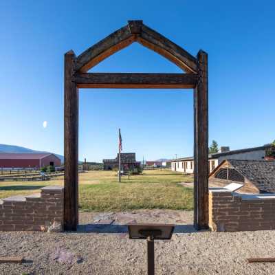
Rosebud Battlefield State Park


The Park History
One of the largest battles of the Indian Wars, the Battle of Rosebud, or “Where the Girl Saved Her Brother” as referred to by the Northern Cheyenne, lasted for eight hours. Because Crook’s troops had been withdrawn from the war zone in order to resupply, they were not there to support Colonel Custer at the Battle of the Little Bighorn one week later.
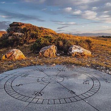
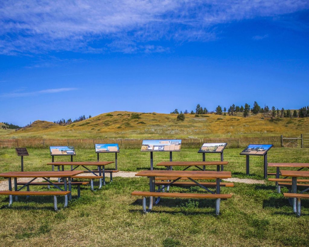
The battlefield is still used throughout the year by U.S. Armed Forces to study military strategy, including how troops take on an enemy who is familiar with the landscape.
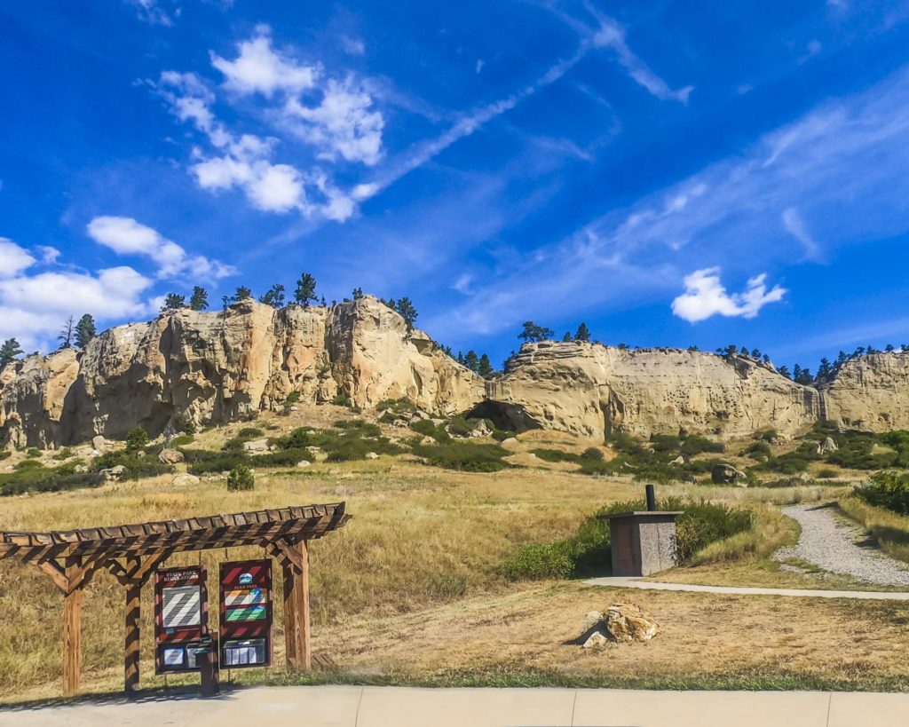
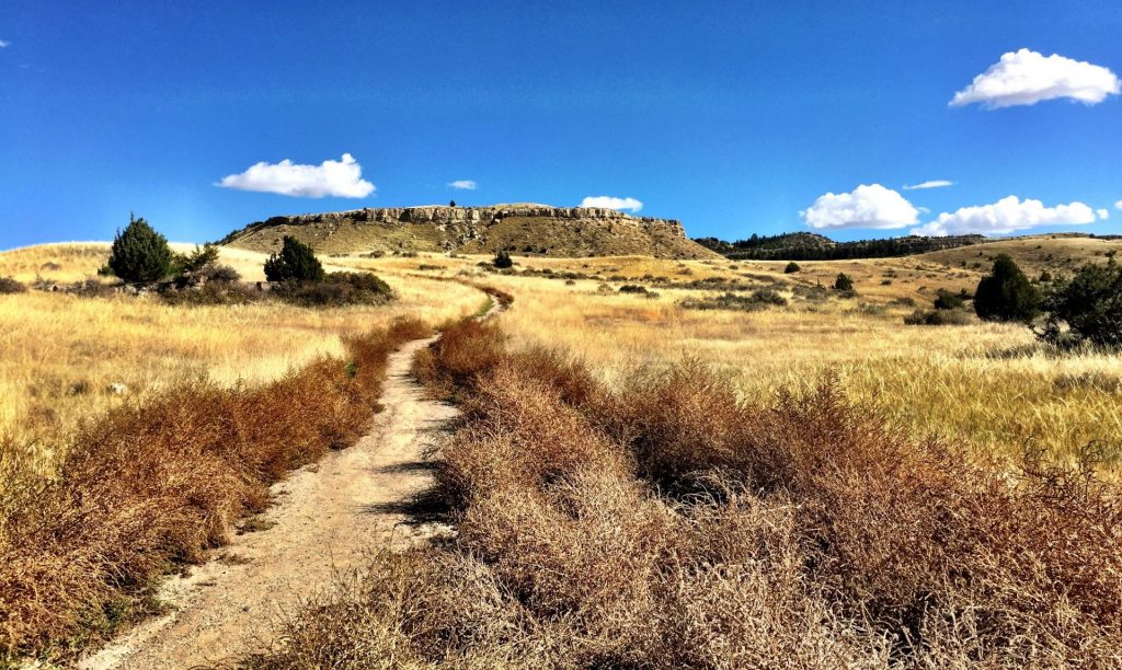
The park includes Kobold Buffalo Jump, a cliff once used by Native Americans and marked with petroglyphs. A short hike within the gap to the cliffs will allow you to see these.
The use of metal detectors, digging and the collecting or removal of artifacts is restricted and bikes are allowed on existing roadways only. Be very cautious while in the park as rattlesnakes reside in the area!
Although camping isn’t available at Rosebud Battlefield, there is camping available at Tongue River Reservoir State Park only 13 miles south.
Rosebud Battlefield is one of the most undeveloped, pristine battlefields in the nation. While looking for the Sioux and Northern Cheyenne villages of Chief Sitting Bull, Brigadier General George Cook, along with 1000 troops and Crow and Shoshone scouts, were unprepared for an organized attack.
On June 17, 1876, an equal or greater number of warriors led by Sioux Chief Crazy Horse and Cheyenne Chiefs Two Moon, Young Two Moons, and Spotted Wolf, attacked the band of soldiers.
")
Curious what other visitors have had to say about the park?


Park
Open all year/Day Use Only
-
Location
42 HC Busby, MT 59016
Parks That Others Are Visiting
")

")
Rosebud Battlefield State Park Read More »


")
")
")
")
")


")

")

")