Education

Spring Meadow Lake State Park 3

Spring Meadow Lake State Park

Spring Meadow Lake State Park

Spring Meadow Lake State Park

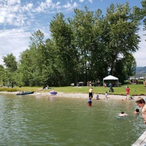
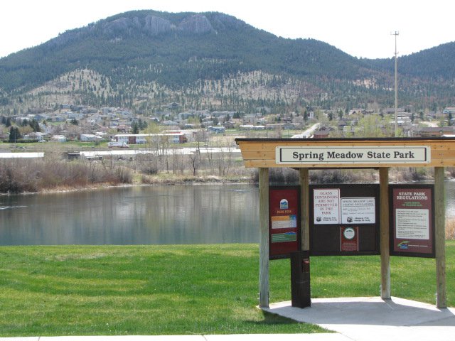
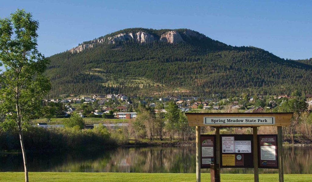
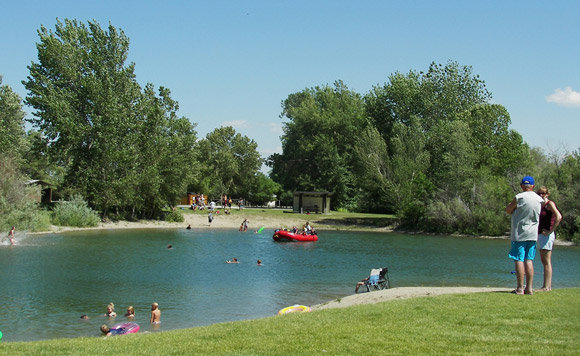
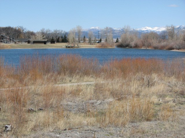
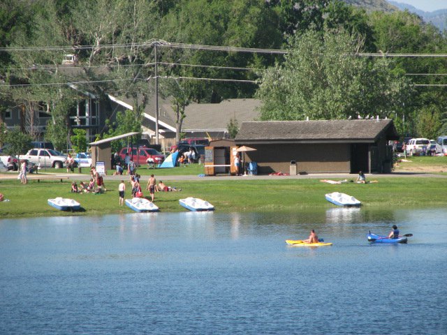
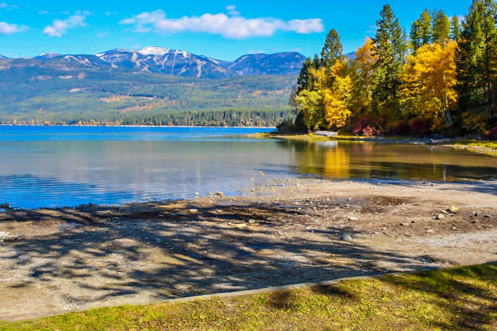
Located west of Helena is Spring Meadow Lake State Park, a day-use park, popular for swimming, sunbathing, fishing and birdwatching.

Spring Meadow Lake
IMG_5965

Download Campsite Map

IMG_5966

Download Park Map

Looking for wildlife?

There are great wildlife viewing opportunities at Spring Meadow Lake State Park. You’ll find birds, rabbits, turtles and more! Looking for a nice walk? A 0.8-mile, self-guided nature trail circles the lake.

If you’re in need of a spot to fish, Spring Meadow Lake is your place. The lake is home to trout, bass and sunfish and there is even an ADA accessible fishing dock added to the park in 2011!

Even in winter, Spring Meadow Lake is perfect for recreation. The trail is open all winter and if it’s cold enough you can even fish or skate on the lake!

Unfortunately, your four-legged friend will have to stay home during the warmer months. Between April 15 and October 15 there are no dogs allowed in Spring Meadow Lake State Park.

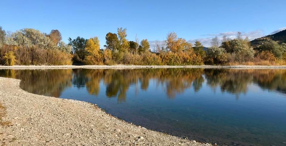
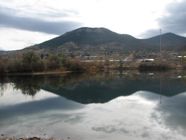
Spring Meadow Lake State Park is a fed by a natural spring that feeds cool, clean water into the lake that is used for fishing, swimming, non-motorized boating, and even scuba diving. The lake and the state park land surrounding it were once an active gravel mine that was donated to the state in 1981.

Did You Know

Curious what other visitors have had to say about the park?

"Nice quite little state park inside of Helena. Relaxing place to picnic, fish, swim or small boat/kayak."

"Great place to take the family out for the day and even get some fishing in. Located right in the heart of Helena, it is not out of the way at all and certainly worth a trip even just to hang out for lunch. The view is really nice, especially for being right in town that you would never even know."

"Great family park for Helena. Well maintained and kid-friendly swimming areas balanced with nice trails and fishing areas."

"Spring Meadow Lake State Park is the crown jewel among all the local parks. It is close to town, so people who can't go too far afield on their own (kids, for instance) can get there on foot or by bicycle. The lake itself is also a gem - it is usually clear, and it is always deep, cold, spring-fed and full of fish that everybody and anybody can try to catch. Helena is blessed with abundant parks and lots of nearby venues for outdoor fun but compared to any other urban parks and fishing spots anywhere, Helena's Spring Meadow Lake State Park cannot be beat."


Quick Facts
  • pine icon

    Park

    Open all year
    6am – 10pm

  • pine icon

    Location

    2715 Country Club Drive Helena, MT 59601

Spring Meadow Lake State Park Read More »

Pictograph Cave State Park 4

Pictograph Cave State Park

Pictograph Cave State Park

Pictograph Cave State Park

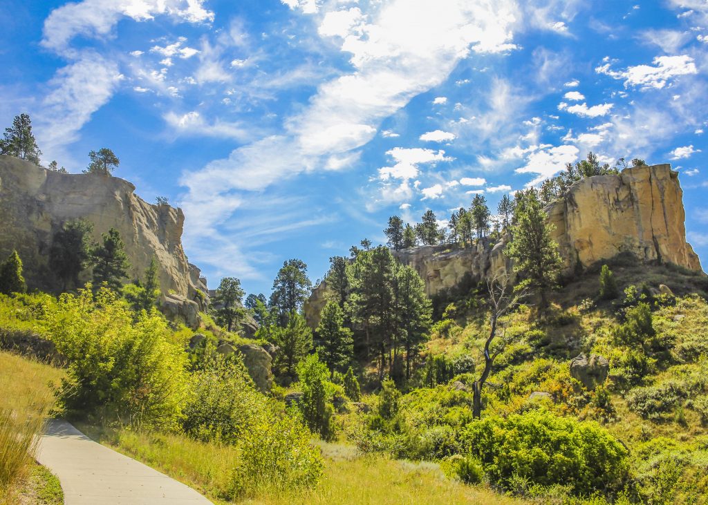
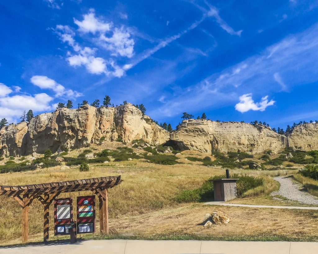
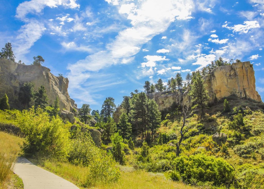
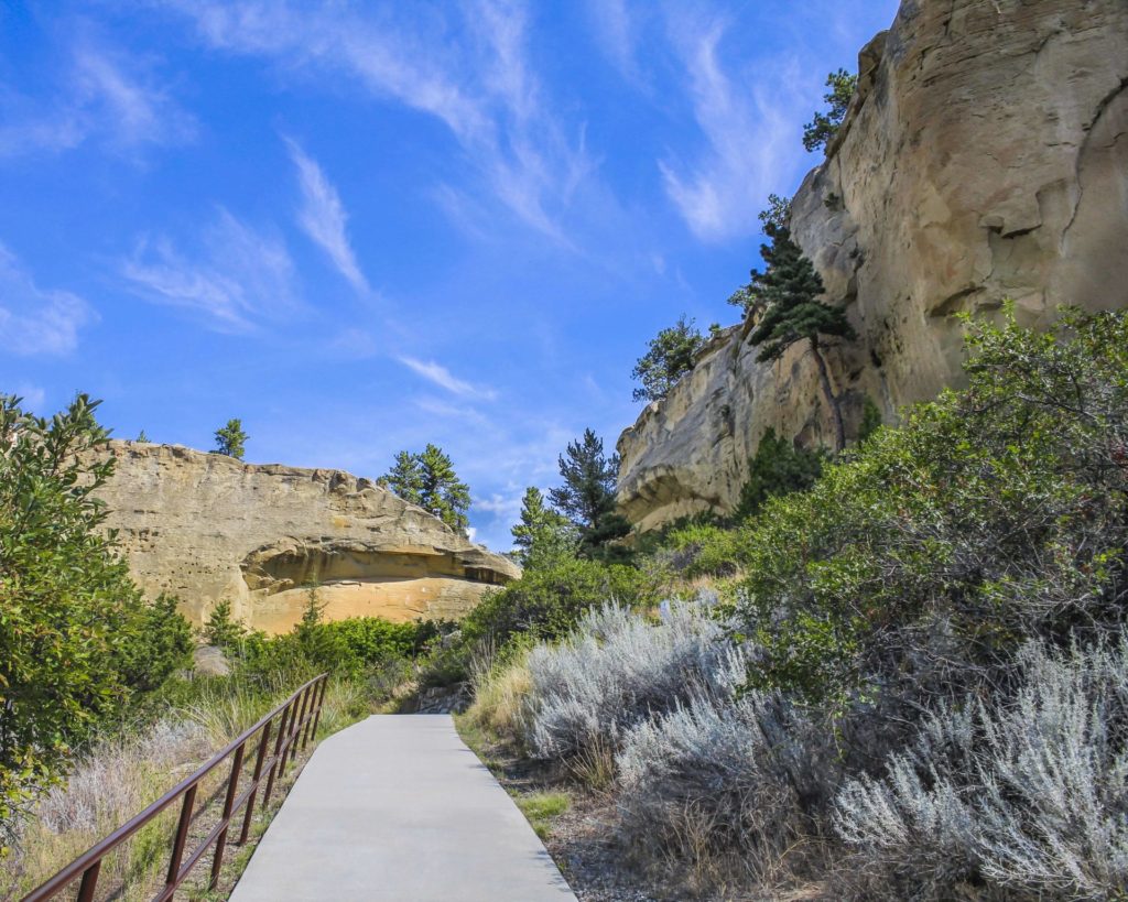
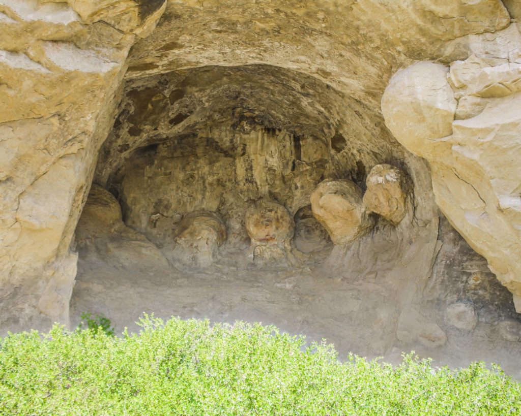
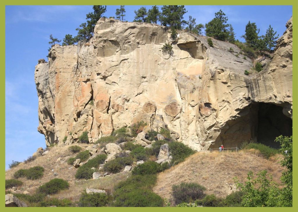
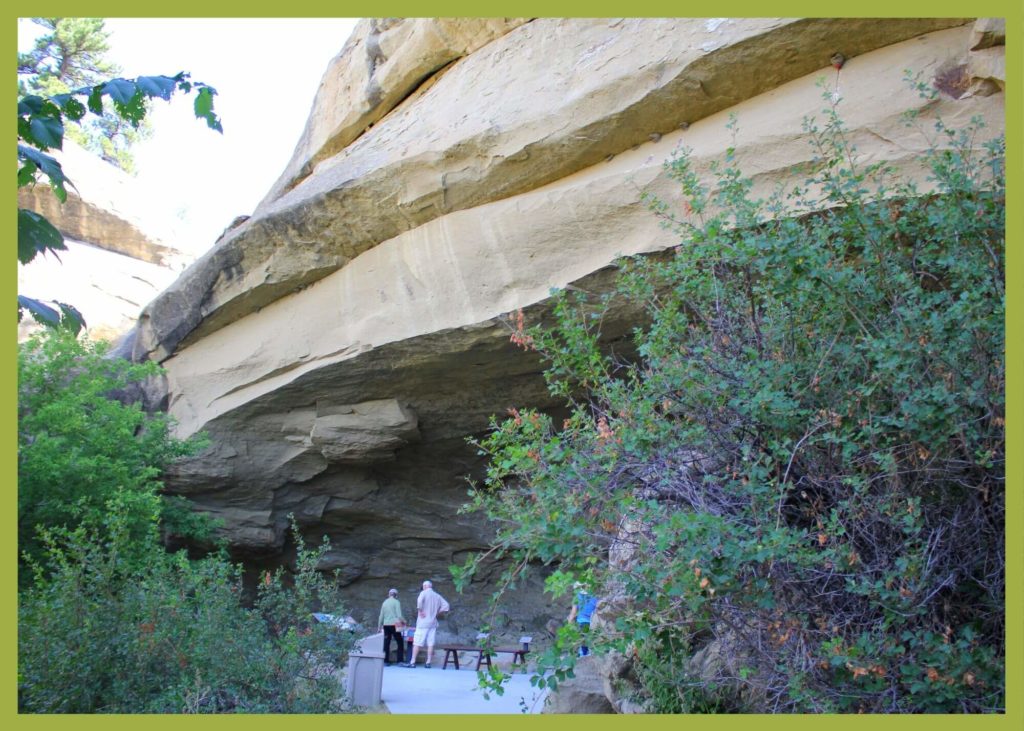
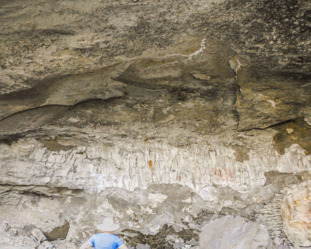
Pictograph Cave State Park lies just outside of Billings, MT. This park features three caves that are preserved and protected in the 23-acre state park.

Along the rimrocks, you'll find where Pictograph Cave has drawn human beings for over 3,000 years and was home to generations of prehistoric hunters.

We are able to bring you valuable information about this amazing state park thanks to the support of:

Visit Southeast Montana
1
IMG_5966

Download Park Map

Looking to camp?

With its abundant wildlife and vegetation, the fertile Yellowstone River valley just north of the park provided an ideal campsite for travelers. Inside the three caves at the park, you can find over 2,100-year-old pictographs from some of Montana's first inhabitants.

When and how these inhabitants arrived is still a mystery and the pictographs they left behind are still subject to great debate.

  • Transport yourself back in time by exploring the caves
  • Check out the Visitor Center and learn more about the history of the caves.
  • Eat your picnic while gazing out at incredible views.
  • Don’t forget to pick up a memento from the gift shop!
  • See if you can spot any wildlife near the caves.

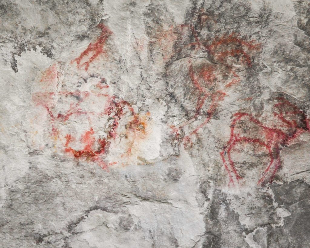
Due to its archeological significance, Pictograph Cave State Park was designated as a National Historic Landmark in 1964. Thousands of years ago, prehistoric hunters who camped in the Pictograph Cave left behind artifacts and over 100 pictographs. The oldest art found at Pictograph Cave State Park is over 2,000 years old and from some of the very first humans on the plains.

The three main caves in the park - Pictograph, Middle, and Ghost - were created from the Eagle sandstone cliff by water and wind erosion. The deepest of the caves, Pictograph Cave, is 160 feet wide and 45 feet deep. In 1936 the first artifacts and paintings were discovered in the caves. Roughly 30,000 artifacts were excavated from the site including, stone tools, weapons, paintings, and instruments. These artifacts helped researchers understand which native people used the caves and when.

In addition to tools and animal bones, the excavations also turned up jewelry, pendants, bracelets, and beads crafted of seashells acquired from Pacific Coast Indians, and in one excavation, researchers discovered barbed harpoon points of the Eskimo culture, made of caribou horn.

At the Park today, you'll see pictographs depicting animals, warriors, and even rifles! The different colors used in the pictographs allowed researchers to identify when people inhabited the region and gave an inside look into their lifestyle. If you’re planning to visit, be sure to bring your binoculars to get the best view of the rock art and be sure to check out the Visitor’s Center which includes interpretive displays and a gift shop.

Depending on the season you can see mountain lions, black bears, turkeys, coyotes, porcupines, red-tailed hawks, golden eagles, bald eagles, northern harriers, bobcats, mountain cottontails, rock doves, turkey vultures, mule deer, canyon wrens, magpies, ravens, crows, and chickadees.

The best time to see the pictographs is after rain or snowmelt! The moisture causes the drawings to become more prominent. And you'll give yourself about an hour to walk the trail with extra time for a picnic and bird watching.

Did You Know

Curious what other visitors have had to say about the park?

"Great place to spend a couple hours, lots of history and dog-friendly. Even in March, it’s a beautiful place to go. Could hear the cracking of the ice on the Yellowstone while looking at the caves."

"Be aware, if you are not from Montana, that you need to be snake smart as this is a habitat for rattlesnakes. Watch where you step and leave them alone if you see one and they will leave you alone."

"Really enjoyed this cave Included the Indian Heritage couple of steep climbs but overall a good walking experience."

"Went here with my kids, great staff and charming volunteers. Nicely laid out park, but I was most struck by realizing that I was standing in a spot that has been inhabited for over 10,000 years. Artifacts from this spot are twice the age of the Great Pyramids of Giza."


Quick Facts
  • pine icon

    Park

    Summer Hours
    Third Friday in May-Third Sunday in September
    Open Daily
    Park: 9 am - 7 pm

    Winter Hours
    Third Monday in September - Third Thursday in May
    Open Wednesday - Sunday
    Park: 9 am - 5 pm
    Closed Monday & Tuesday, and Thanksgiving, Dec. 24, 25, 31 & Jan. 1

  • pine icon

    Visitor Center

    Summer Hours
    Open Daily
    Visitor Center: 10 am - 5 pm

    Winter Hours
    Open Wednesday - Sunday
    Visitor Center: 10 am - 4 pm
    Closed Monday & Tuesday, and Thanksgiving, Dec. 24, 25, 31 & Jan. 1

  • pine icon

    Location

    3401 Coburn Road Billings, MT 59101

Pictograph Cave State Park Read More »

Travelers-Rest-state-park

Travelers’ Rest State Park

Travelers' Rest State Park

Travelers’ Rest State Park

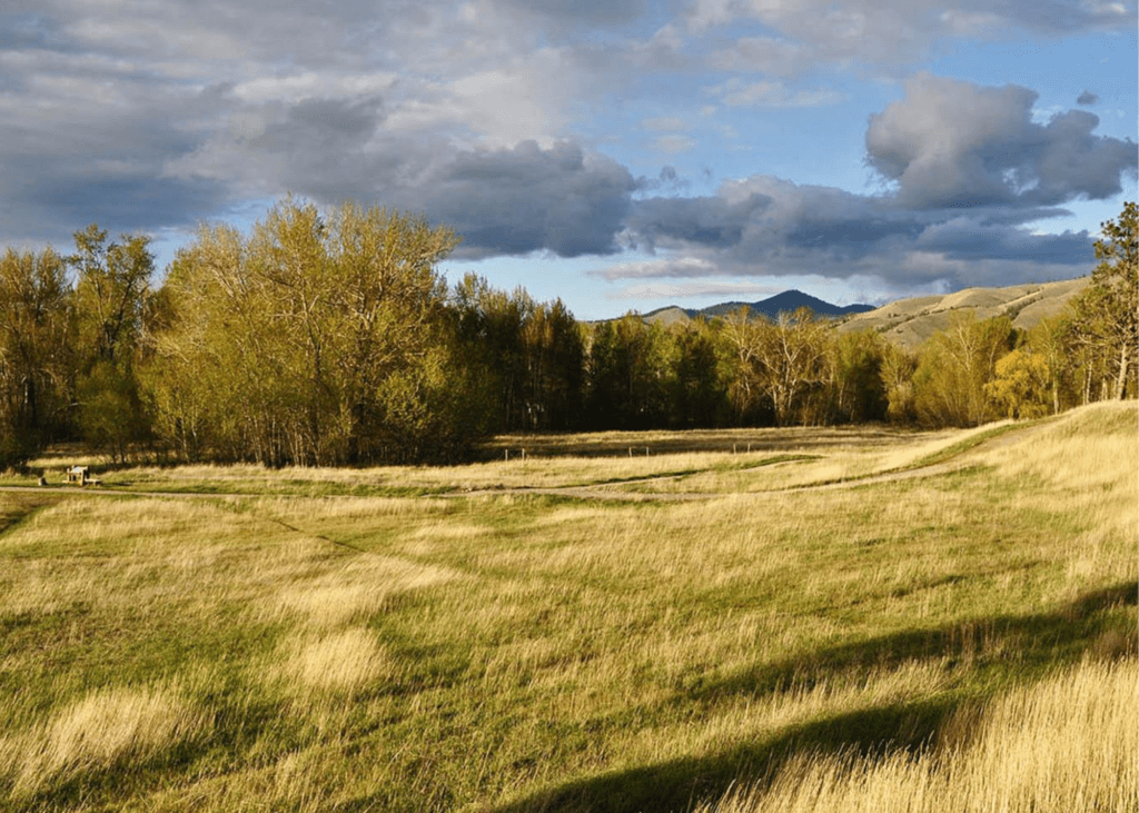
Both a state park and a National Historic Landmark, Travelers’ Rest is filled with historical significance. In 2001 the land that Travelers’ Rest State Park resides on was donated to the State of Montana.

After an archeological investigation in 2002, it was discovered that this location was used as a campsite by Lewis & Clark and the Corps of Discovery on two occasions, first from September 9-11 in 1805 and then again the year after from June 30-July 3 in 1806.

Copy of Travelers' Rest
IMG_5965

Download Campsite Map

IMG_5966

Download Park Map

Interested in the history of the park?

During the archeological investigation of the site, archeologists discovered a trench latrine tainted with mercury (a common prescription for many ailments used by the Corps of Discovery), hearths and traces of lead (used in the repair and making of firearms).

The way the camp was set up also led the archeologists to believe that this was the campsite of the Corps of Discovery. The placement of the hearths, latrines and other aspects of the camp were taken from a military manual Lewis & Clark were known to have relied on.

The trace elements in the lead found at the campsite were traced back to elements in Kentucky where Lewis & Clark would have likely gotten their lead! The items found paired with the setup of the camp allowed investigators to come to the conclusion that this was, indeed, the campsite of Lewis & Clark.

  • pine icon

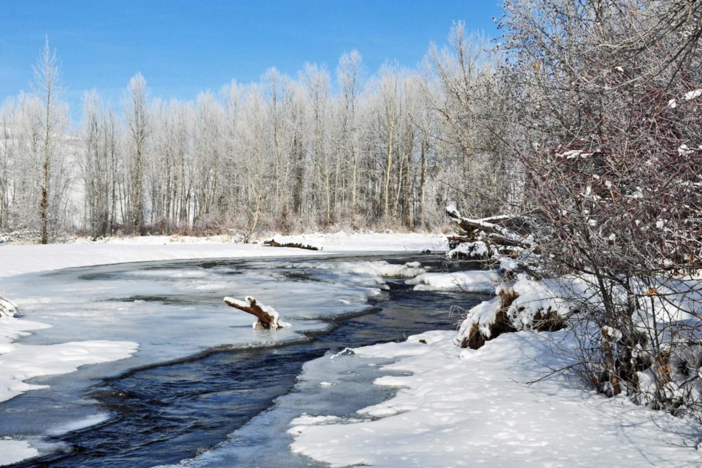
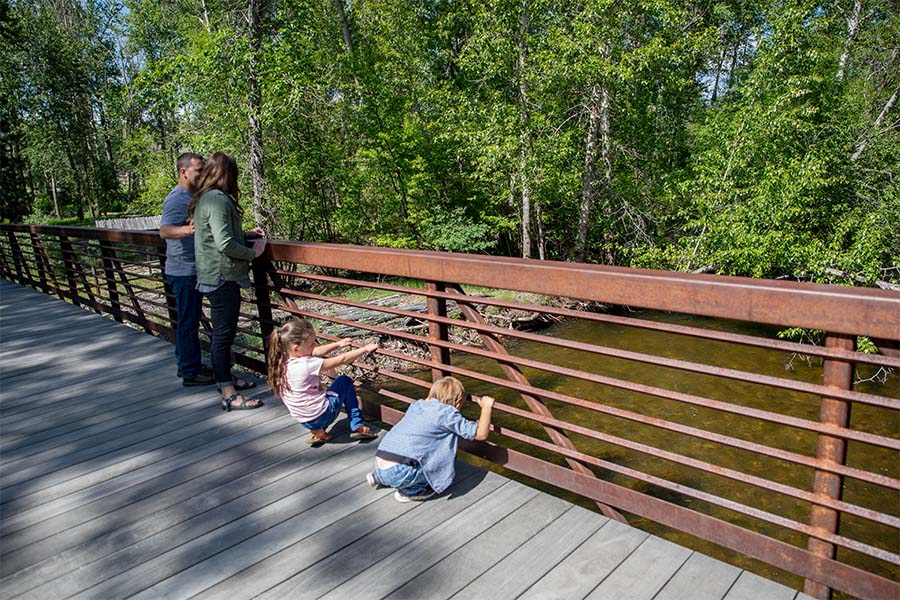
    The park may be called Travelers’ Rest, but that doesn’t mean you can’t be active! Take a hike along Lolo Creek.

  • pine icon

    Learn more about Native American culture from Native storytellers who bring their history and culture to all as part of the programming at Travelers’ Rest.

  • pine icon

    Western Montana is a great place to fish and Travelers’ Rest is no exception! Try your hand at stream or fly fishing in Lolo Creek.

  • pine icon

    History buff? Spend some time in the museum where you’ll find Lewis & Clark Expedition replicas, Salish cultural exhibits, Native American handcrafts, a frontier Main Street and much more!

  • pine icon

    Have a large group? There is a pavilion available to rent! Simply contact the park to make a reservation. Phone: 406-273-4253 Email: [email protected]

  • pine icon

    Looking to enjoy the wildlife? Go bird watching to see how many of the 115 recorded species you can find!

  • pine icon

    Plus so much more!

Travelers’ Rest was also used by Native American tribes in the area. The Salish, Pend d’Oreille and Nez Perce used the area as a campsite and trail junction.

Did You Know

Curious what other visitors have had to say about the park?

"Wonderful state park with great historical significance regarding Lewis and Clark journey of discovery and marvelous natural beauty. If you are near, do not miss this delightful park. Make time for the informatics museum and fun short hikes. I look forward to coming back."

"The kids were brought out here every year by their school, it was always fun and informative of the days gone by. They have Lewis and Clark artifacts that were found on-site for viewing and then some things, just from the era, both give you a nice perspective of how things used to be. The kids and I live close so it's always just a nice place to come hike around check out the creek. It's a great place also for taking photos. I've taken a lot of family photos in this area for people."

"If you're traveling through it's pretty cool place to stop and get educated on the Lewis and Clark travels."

"Great historical park of Lewis and Clark and native Indian camp. Go and walk their trails and learn about their camp. The exhibit at the travelers rest museum is excellent to see their tools, camp life, cooking, wild edibles, and friends. Our family was here for an afternoon and really enjoyed the experience. "


Quick Facts
  • pine icon

    Park

    9:00 am - 5:00 pm daily

    Closed Thanksgiving Day & December 25

  • pine icon

    Visitor Center 

    May 1 - September 30

    9:30 a.m. - 4:30 p.m.

    October 1 - April 30 

    10:00 a.m. - 4:00 p.m. Wednesday-Sunday

    Closed Thanksgiving,  Christmas Eve, Christmas & New Years Day

  • pine icon

    Location

    6717 Highway 12 W Lolo, MT 59847

Travelers’ Rest State Park Read More »

Missouri Headwaters State Park 2

Missouri Headwaters State Park

Missouri Headwaters State Park

Missouri Headwaters State Park

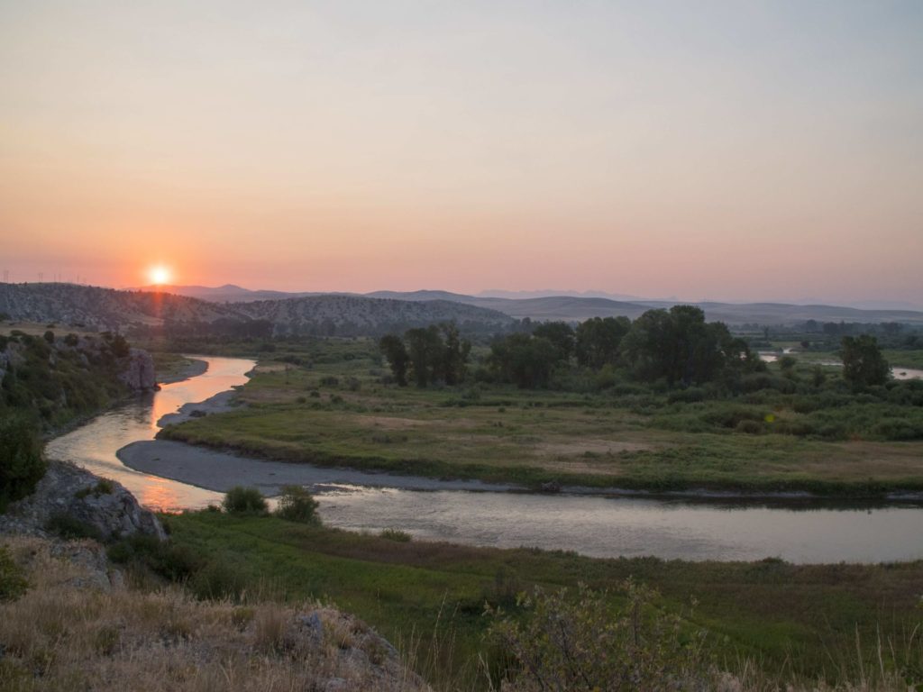
Missouri Headwaters State Park is just outside of Three Forks downtown and only 35 minutes outside of Bozeman. The convergence of the Jefferson, Madison, and Gallatin rivers is the start of the longest river in North America, the Missouri River.  Considered an essential part of the geography of the western U.S.

We are able to bring you valuable information about this amazing state park thanks to the support of:

Missouri Headwaters State Park
IMG_5965

Download Campsite Map

IMG_5966

Download Park Map

Things to do:

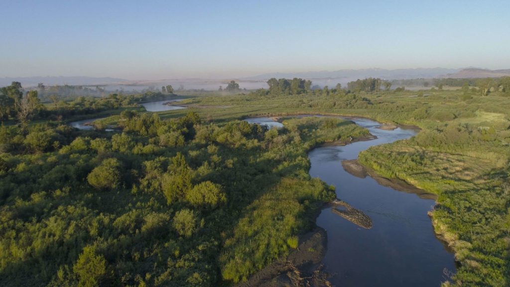
Just outside of Three Forks, you’ll find Missouri Headwaters State Park, the confluence of the Madison, Jefferson and Gallatin rivers which form the 2,300 mile Missouri River.

At Missouri Headwaters State Park, you can still find the area looking much as it did historically - with much of the region's abundant wildlife, vegetation, and scenic beauty preserved - making it clear what has attracted people for thousands of years.

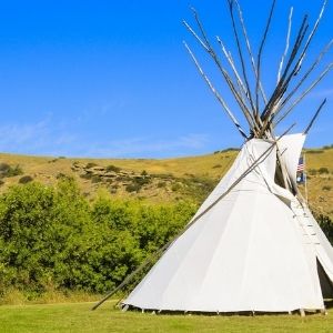
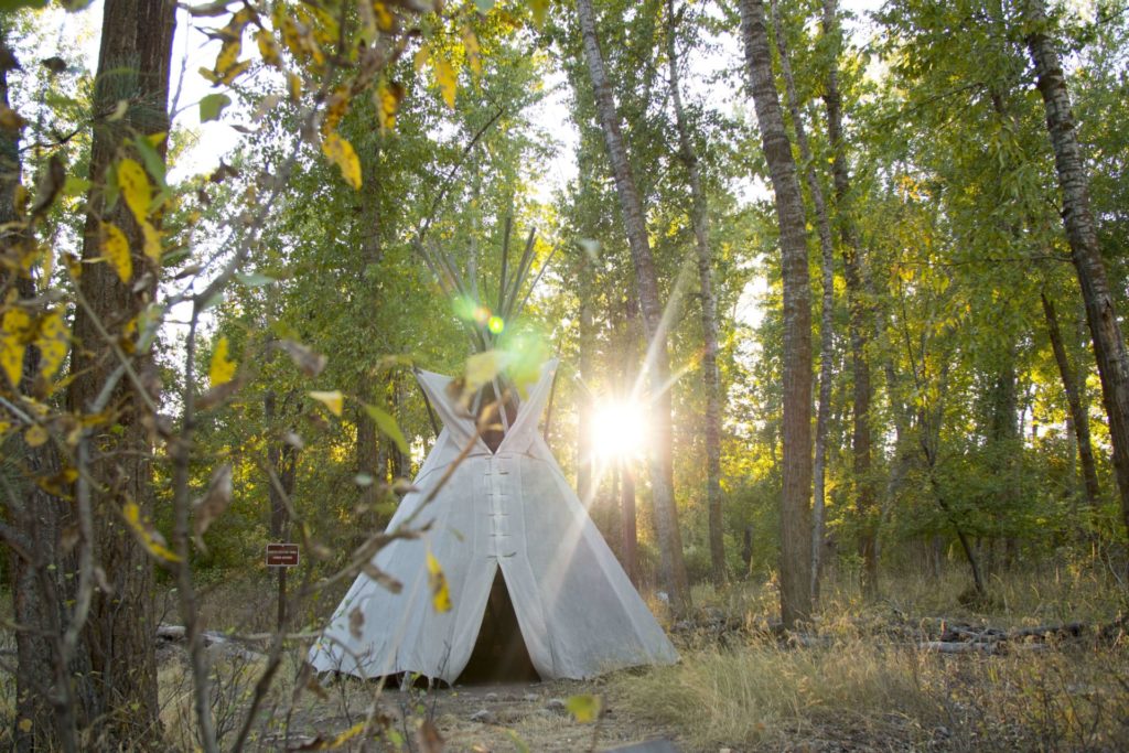
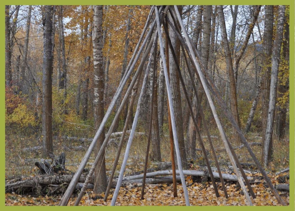
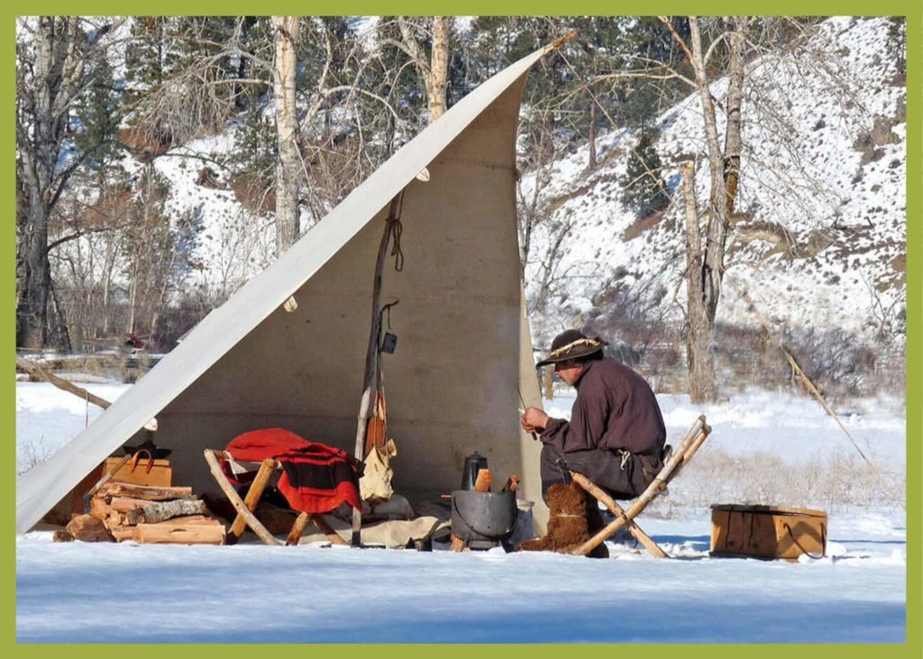
  • Looking to camp in history? There are 17 campsites available and you can even rent a tipi!
  • Interpretive displays describing the area’s cultural and natural history can be found to help guide you!
  • Take your bike for a spin on the many trails throughout the park!
  • Not much of a biker? Use the trails for a scenic hike instead!
  • Take a float down the river, you’ll have your choice of three!
  • Visit Fort Rock to take a look at historic pictographs. 

The three rivers that converge to form the Missouri River are named for President Thomas Jefferson, Secretary of State James Madison and Treasury Secretary Albert Gallatin!

The rich, fertile soil along with the proximity to fresh water, brought the Flathead, Bannock and Shoshone Indians to the region and later trappers and settlers, and now this beautiful land has been preserved as a state park for visitors just like you. 

Known for an abundance of wildlife, Missouri Headwaters State Park is a great place to explore, but don’t forget your bug spray! 

In addition to its vast natural resources and outdoor activities, Missouri Headwaters State Park also boasts extensive cultural history - ranging from the tribes that lived there beginning 3,000 years ago to Lewis and Clark to fur traders to settlers.

In late July 1805, William Clark and a small number from the Corps of Discovery reached the Headwaters while scouting for Shoshone Indians, whom they hoped would sell them horses. It was Sacajawea, who recognized the area as where she was captured as a child by the Hidatsa, that led the expedition successfully there.

While at the confluence, Clark left a note for Meriwether Lewis to find and later, Lewis Rock was named for him.

Did You Know

Curious what other visitors have had to say about the park?

"Very interesting spot to see three rivers come together to make the start of the Missouri River."

"Great campground and great camp host! Paul is awesome and hilarious! He also recommended good fishing spots and filled us in on the local moose population, (phone pics included!) This area is spectacular for bird watching, fishing, hiking and taking in some informative L&C history. Restrooms were spotless and smelled nothing like a vault toilet. Even enjoyed a lightning storm on our last night to wrap it all up. Great entertainment! We’ll probably be back in the fall with our little retro trailer for more fishing, exploring and dry-camping."

"We made a spur of the moment trip with 5 other couples from the Bitterroot Valley . Arrived and were met by the campground host, who was not only a character, but had this park and facilities absolutely spit- shined! The "Dogs on leash" rule is strictly enforced, but makes for a more enjoyable stay for all. My two Labradors liked the Host and the camping. Highly recommend."

"Quiet evening to enjoy the view. Be sure and climb up Fort Rock and enjoy the vistas from a little higher up. Easy walk up."


Quick Facts
  • pine icon

    Park

    Open Year-Round

  • pine icon

    Campground

    Open Year-Round​

  • pine icon

    Location

    1585 Trident Road

    Three Forks, MT 5975

Missouri Headwaters State Park Read More »

Makoshika

Makoshika State Park

Makoshika State Park

Makoshika State Park

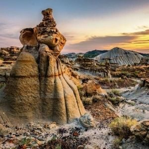
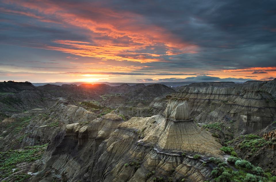
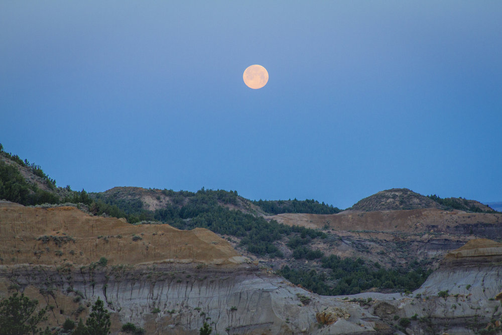
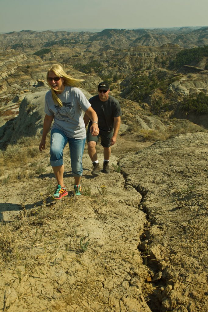
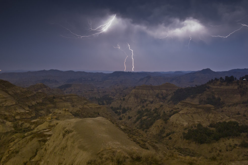
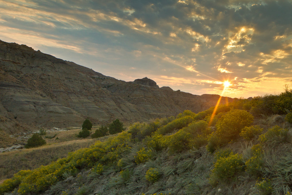
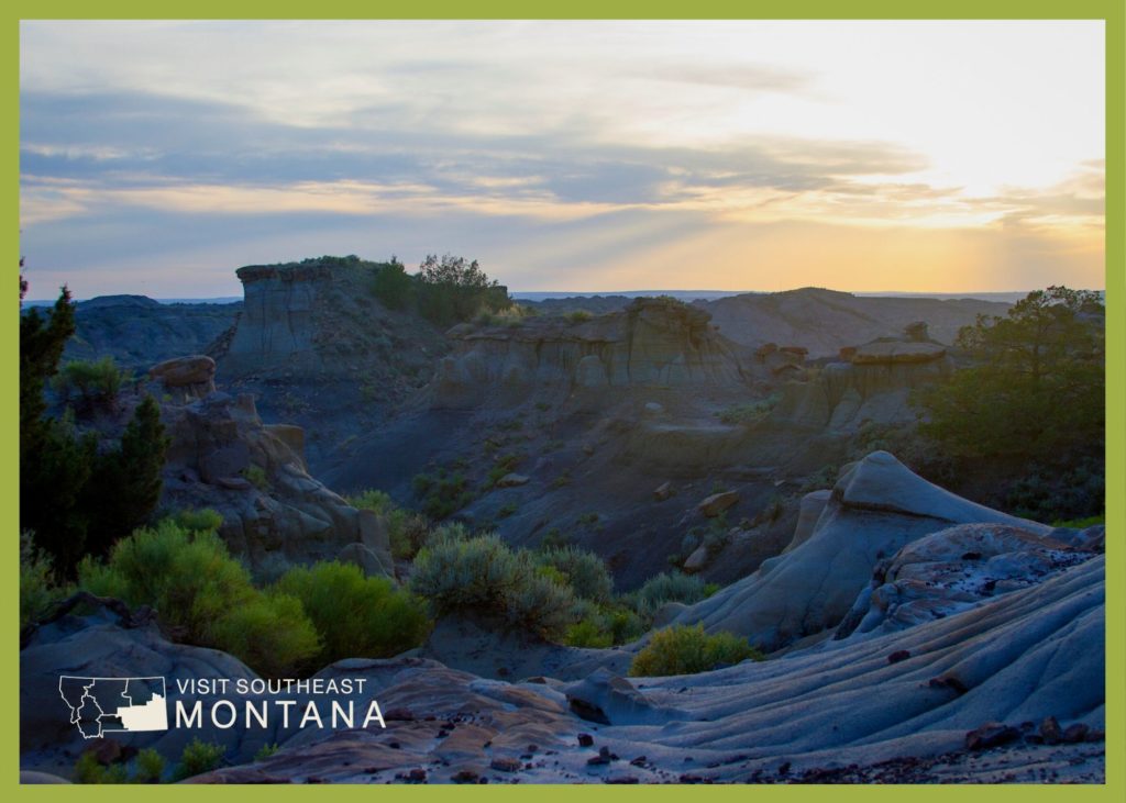
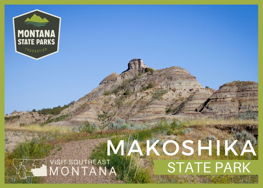
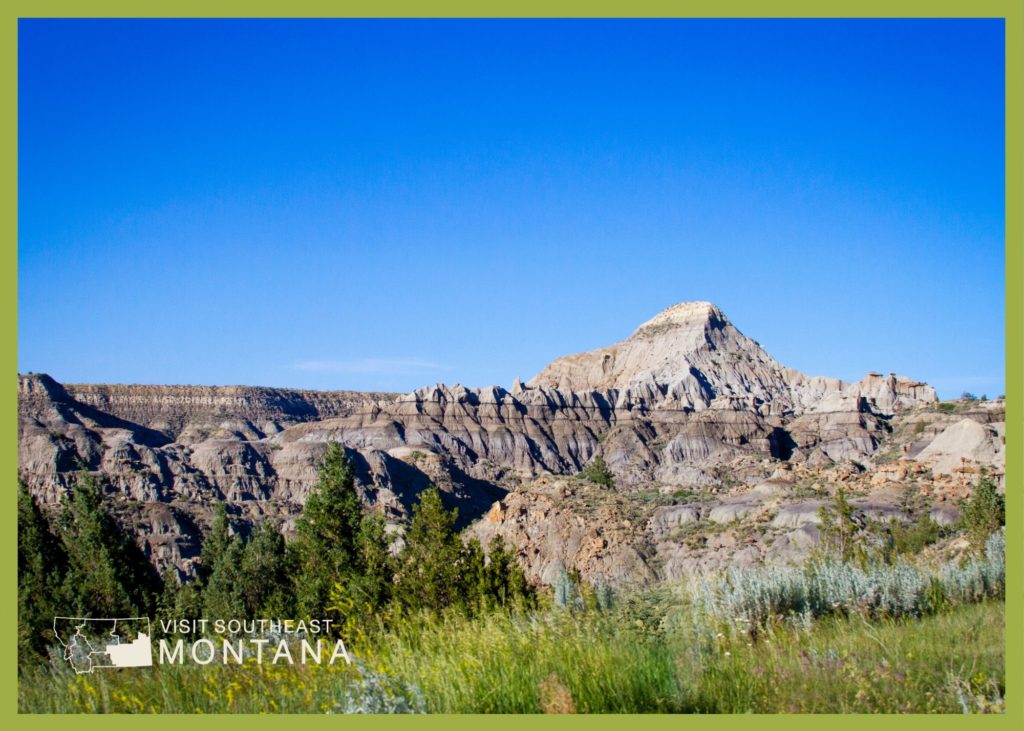
Makoshika State Park features spectacular badland formations and the remains of the infamous Tyrannosaurus Rex, as well as other amazing dino fossils.

We are able to bring you valuable information about this amazing state park thanks to the support of:

Visit Southeast Montana
Makoshika State Park
IMG_5965

Download Campsite Map

IMG_5966

Download Park Map

Looking to dig for fossils?

The park offers special events throughout the year, including Montana Shakespeare in the Park, Friday night campfire programs and youth programs in summer, and the famous Buzzard Day festival, the second Saturday in June, featuring 10k & 5k races and a fun run, Native American singers & drummers, jumping house, food, disc golf tournament, hikes and more!

Visitors are asked not to bring metal detectors, and no digging, collecting or removal of artifacts is allowed.

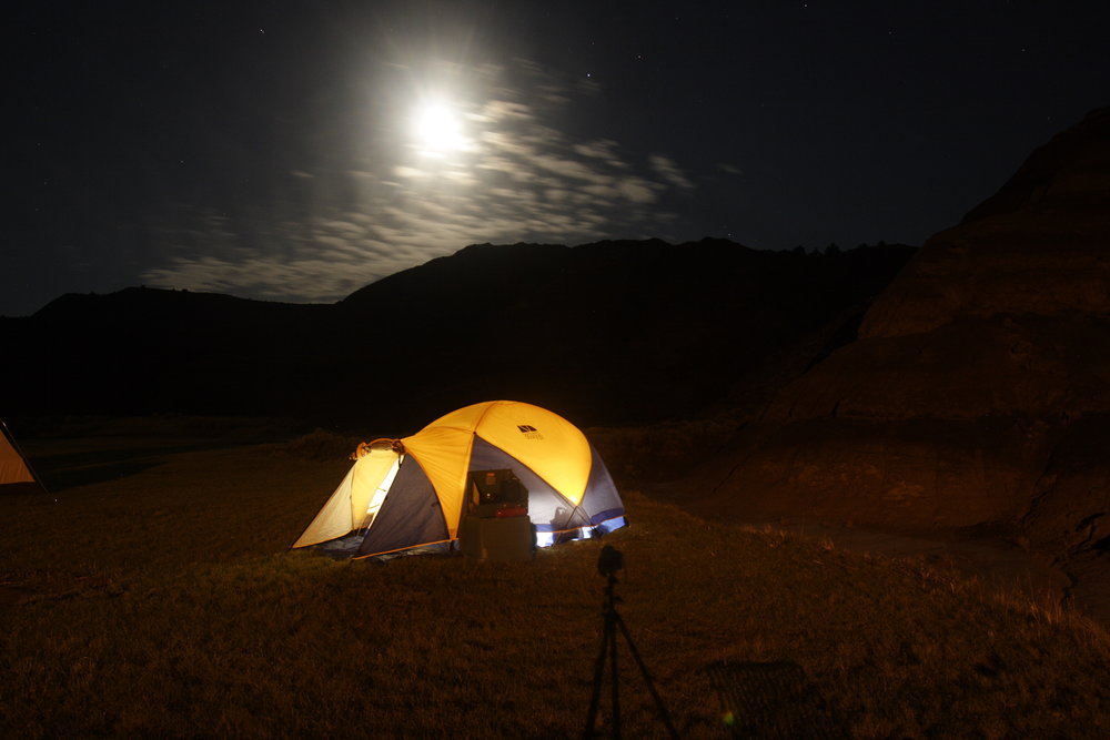
Included within the park are an archery site, scenic drives, hiking trails, 28 camping sites, a group picnic area, and an outdoor amphitheater.

The visitor center at the park entrance has interpretive exhibits that are great for kids.

Did You Know

Curious what other visitors have had to say about the park?

"Really cool rock features. Very easy hikes to see amazing views."

"Never a disappointment. I LOVE Makoshika park. I always stop by to visit the ranger's in the gift shop. They are all so very welcoming."

"The scenic overlooks are awesome. Some of the trails are slightly treacherous. Bring water on your walks. The staff are friendly and helpful. The visitor center has some very cool displays of the archeological finds from the area."

"We loved this park. Great views and hiking- decent privacy for spots even though there aren’t really trees to separate the sites. Lots of things to do nearby since it’s so close to town! Wish we had time to take a longer visit and hike more of the trails! Watch out for cacti!"


Quick Facts
  • pine icon

    Park

    Open daily 7:00 a.m. to 10:00 p.m.
    Water available year round

  • pine icon

    Campground 

    Open year round

  • pine icon

    Visitor Center

    Summer Hours

    May 1 – September 30
    Open daily 9:00 a.m. - 5:00 p.m.

    Winter Hours

    October 1 - April 30
    Open Wednesday - Sunday, 10:00 a.m. - 4:00 p.m.
    Closed all federal and state holidays except Memorial Day, Fourth of July, and Labor Day.

  • pine icon

    Location

    1301 Snyder Avenue Glendive, MT 59330

Makoshika State Park Read More »

Lone Pine State Park 1

Lone Pine State Park

Lone Pine State Park

Lone Pine State Park

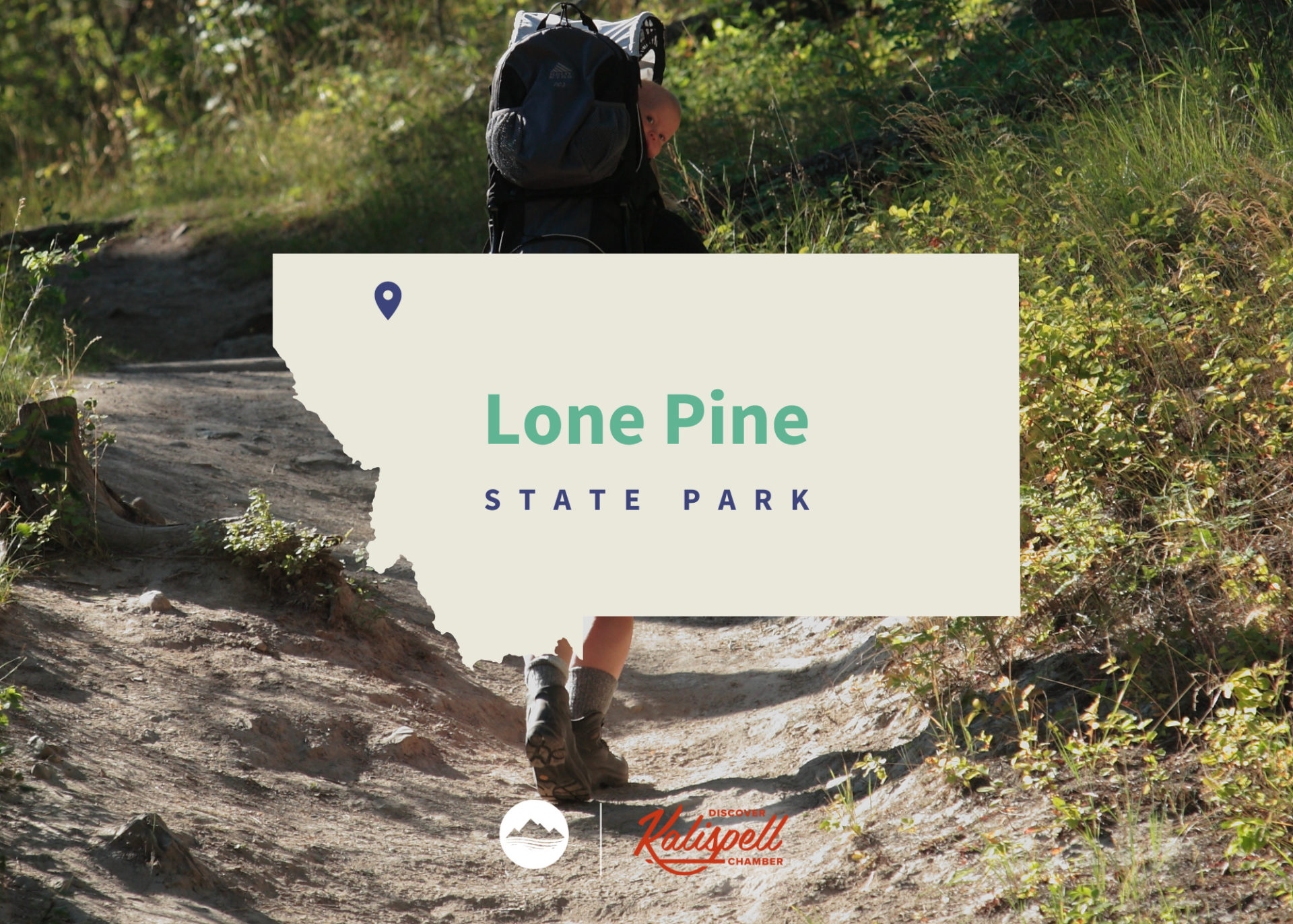
Located just outside of the city of Kalispell to the southwest, Lone Pine State Park is home to 7.5 miles of trails for hiking, biking, snowshoeing, and horseback riding.

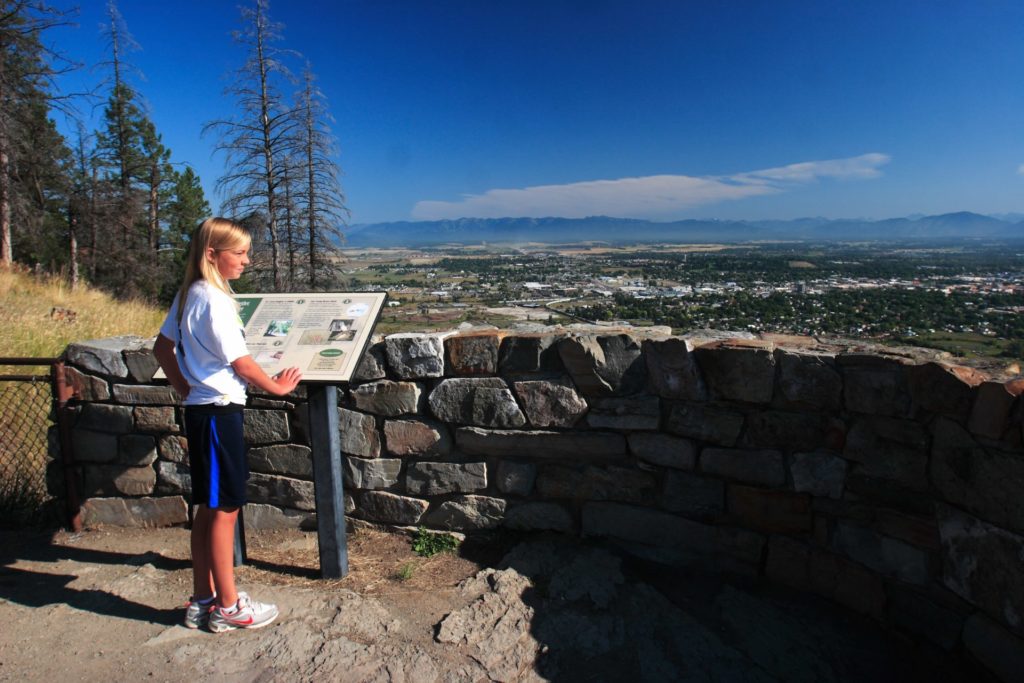
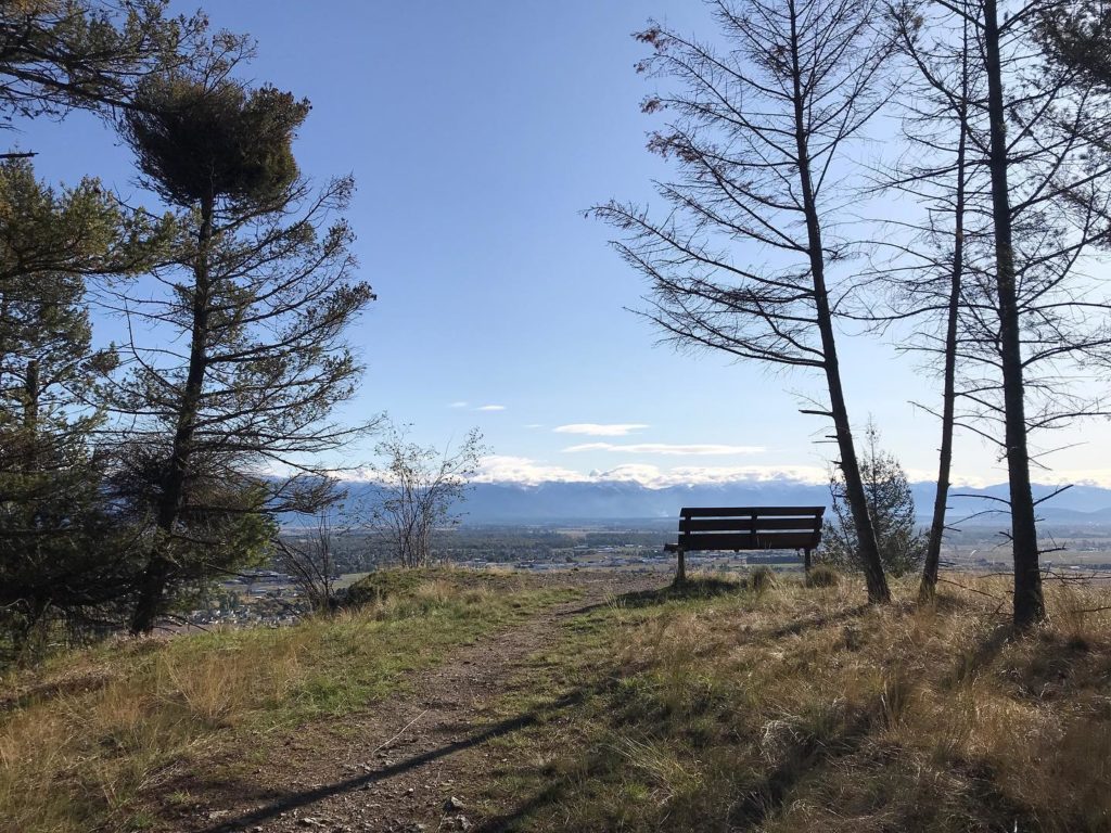
The park also features breathtaking scenic overlooks, where you can see Flathead Lake, Big Mountain Resort, Jewel Basin, and Glacier National Park on clear days. 

Lonepine is the second oldest State Park in Montana, dating back to February of 1941.

We are able to bring you valuable information about this amazing state park thanks to the support of:

Lone Pine State Park
IMG_5966

Download Park Map

Looking to camp?

The recently remodeled visitor center has a gift shop and provides visitors with highlights of the wildlife and forest ecology of the park.

A great spot for meetings or social gatherings (can host up to 100 people), the visitor center has a spacious meeting room with audio/visual capabilities and wrap around decks!

7.5 miles of trails can accommodate for short or long hikes where you’ll find great views of wildflowers in the spring and summer and local wildlife throughout the year. 

Activities

Snowshoe rentals are available for $5 per person or $10 per family during the winter months.

With adult workshops, children's activities and interpretive programs throughout the year, Lone Pine State Park is an ideal stop for field trips, out of state visitors or Montana residents interested in learning more about northwestern Montana.

Lone Pine State Park provides incredible views of the Flathead Valley, as well as year-round and wide-ranging outdoor recreation activities.
Originally owned as part of a large sheep ranch by Ernest and Hazel White, in 1941 the White’s donated the land that now makes up Lone Pine State Park, for public use and education.

The Whites stipulated that the land be developed for public use and to teach an appreciation for the benefits of conservation. Lone Pine hosts extensive educational and recreation opportunities throughout the year? From interactive talks about birds of prey, backcountry horse, and mule packing, to a bat box building workshop, Lone Pine has an event to interest everyone. 

Did You Know

Curious what other visitors have had to say about the park?

"This a great little recreation spot. There's hiking, multiple viewing spots, a visitor center, picnic and volleyball area. Additionally one the coolest things they got there is an archery range/course. As a bow hunter I go there often!"

"Great for either short or longer hikes. Very friendly staff. Great views."

"It's very breath taking!! Enjoy the little hike I take with my brother every time I come to Montana!!"

"A great place to go for short or long hikes. Amazing views over the valley. The level of difficulty is very low on most trails, and they are all connected and easy to navigate with clearly marked signs. Will most definitely be returning for more hiking adventures with the kiddos."


Quick Facts
  • pine icon

    Park

    Open all year
    Sunrise to sunset

  • pine icon

    Visitor Center

    Opens June 6, 2020
    Wednesday through Saturday 10am – 5pm.
    Sunday 12:30pm to 5pm.
    Closed Monday & Tuesday.
    Closed November 26, 27, December 24, 25, 31, January 1

  • pine icon

    Archery Trail

    Open for the 2020 season.

  • pine icon

    Location

    300 Lone Pine Rd. Kalispell, MT 59901

Lone Pine State Park Read More »

greycliff prairie dogtown state park

Greycliff Prairie Dog Town State Park

Greycliff Prairie Dog Town State Park

Greycliff Prairie Dog Town State Park

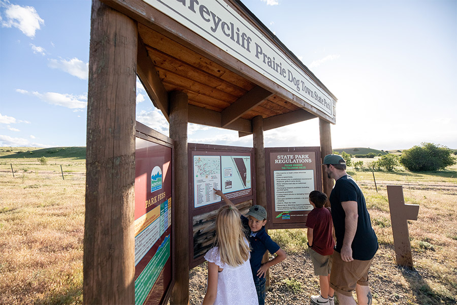
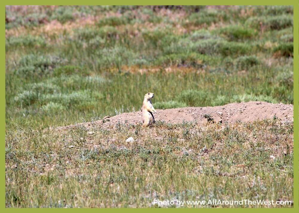
This black-tailed prairie dog community is protected and preserved through the efforts of Montana State Parks, the Nature Conservancy, and the Montana Department of Transportation.

We are able to bring you valuable information about this amazing state park thanks to the support of:

Yellowstone Country Logo
Greycliff Prairie Dog Town State Park
IMG_5965

Download Campsite Map

IMG_5966

Download Park Map

Prior to habitat destruction, this species may have been the most abundant prairie dog in central North America.

This species was one of two described by the Lewis and Clark Expedition in the journals and diaries of their expedition.

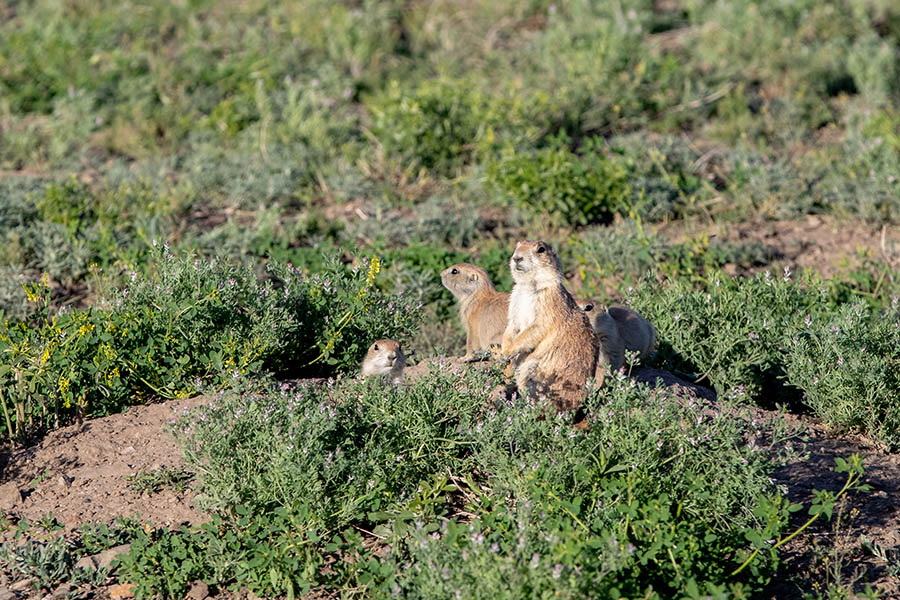
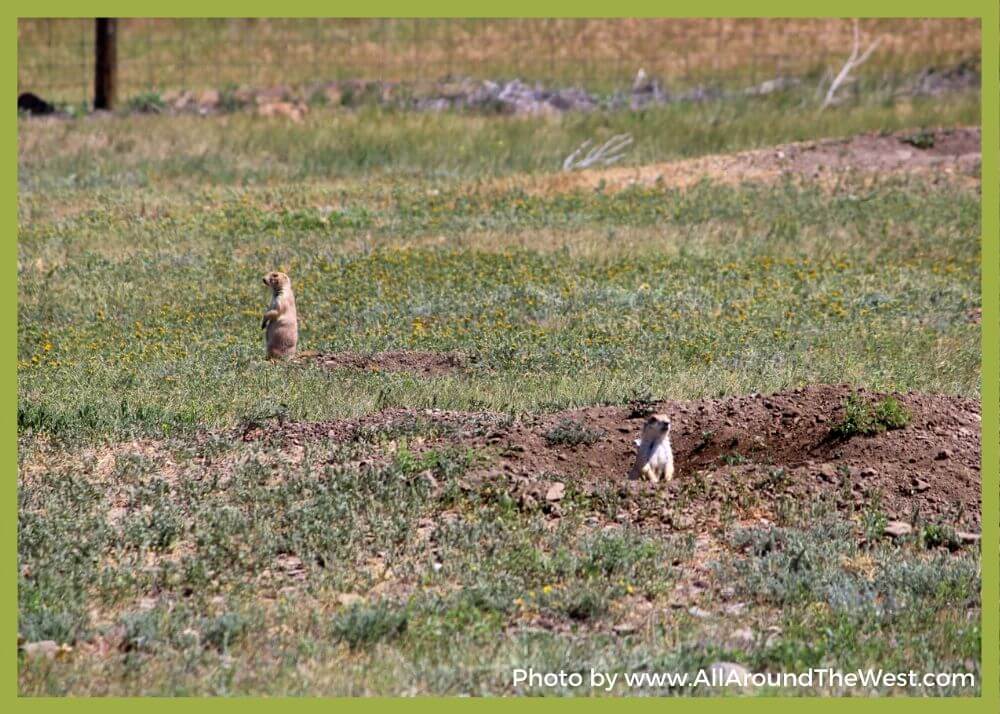
Black-tailed prairie dogs live in colonies. Colony size may range from five to thousands of individuals, and may be subdivided into two or more wards, based on topographic features, such as hills. Wards are usually subdivided into two or more coteries, which are composed of aggregates of highly territorial, harem-polygynous social groups.

Individuals within coteries are amicable with each other and hostile towards outside individuals. At the beginning of the breeding season, a coterie is typically composed of one adult male, three to four adult females, and several yearlings and juveniles of both sexes.

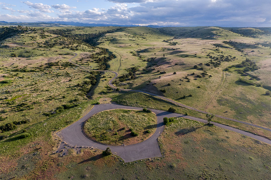
The parking area to watch the prairie dogs is disabled accessible and pets are allowed, but MUST BE ON LEASH.

A golf course is located nearby in Big Timber and also five museums.

This park is day use only.

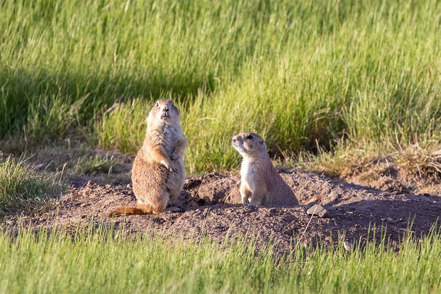
The black-tailed prairie dog (Cynomys ludovicianus) is a rodent of the family Sciuridae found in the Great Plains of North America from about the United States-Canada border to the United States-Mexico border.

Unlike some other prairie dogs, these animals do not truly hibernate. The black-tailed prairie dog can be seen above ground in midwinter.

Interpretive displays tell the story of these small, entertaining prairie dogs and their role in the prairie ecosystem. These creatures have great ecological significance because they create patches of habitat that provide prey, shelter, and forage for a diverse number of animals, including burrowing owls, black-footed ferrets, and mountain plovers.

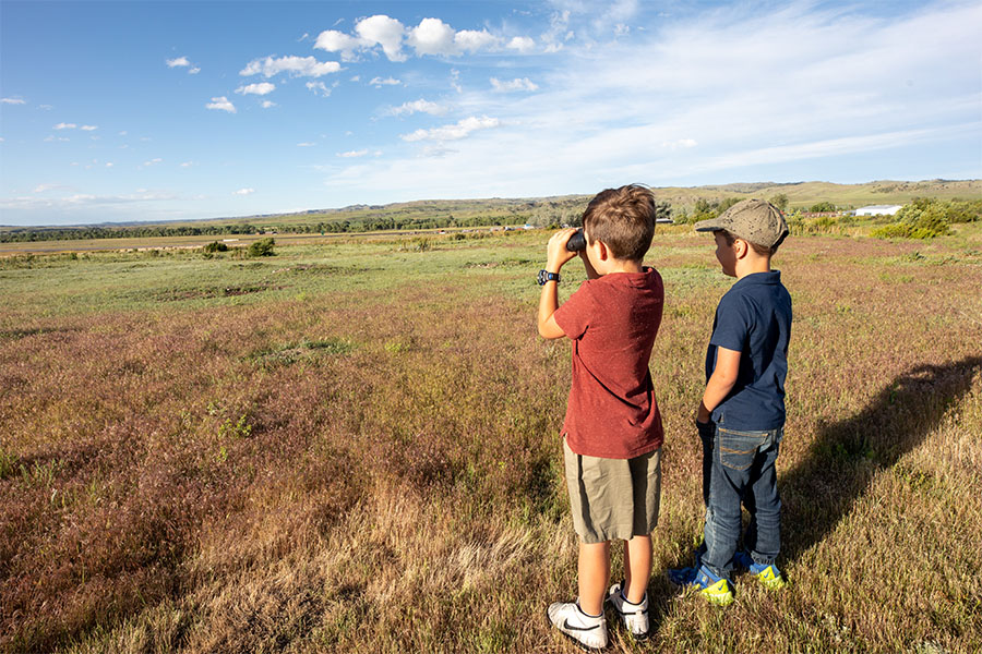
Enjoy the prairie dogs with your binoculars and cameras, but please do not feed them. The digestive tracts of wild animals are specifically adapted to natural foods; human foods can compromise their health and survival.

The site is 98 acres in size and is situated at 3,600 feet in elevation.

Did You Know

Curious what other visitors have had to say about the park?

"It was amazing if you are driving by, take the time to stop!"

"Quick stop off the highway to see some Prairie Dogs. During the winter the gates are locked but they allow foot visitors to walk on the path. Very windy most days but worth a short stop to see some little furry friends."

"Great road trip stop, bring binoculars to see them up close!"

"It's a brief stop but so worth it! Prairie Dogs are always out and chripin! Picnic benches but no restrooms. Park fee for people out of state. Quick on and off Highway access."


Quick Facts
  • pine icon

    Park

    Open All Year - Day Use only

  • pine icon

    Walk-In access only

    November 1 - April 1

  • pine icon

    Location

    Old US Hwy 10 Greycliff, MT 59033

Greycliff Prairie Dog Town State Park Read More »

First Peoples Buffalo Jump State Park

First Peoples Buffalo Jump State Park

First Peoples Buffalo Jump State Park

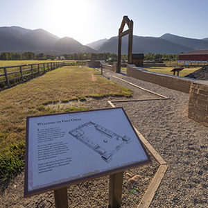
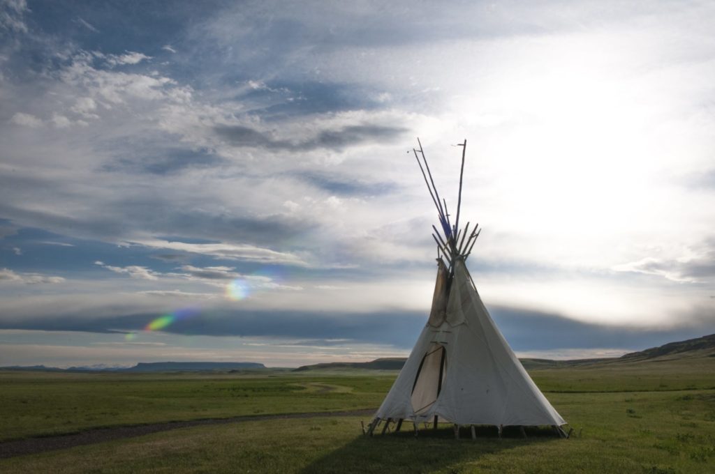
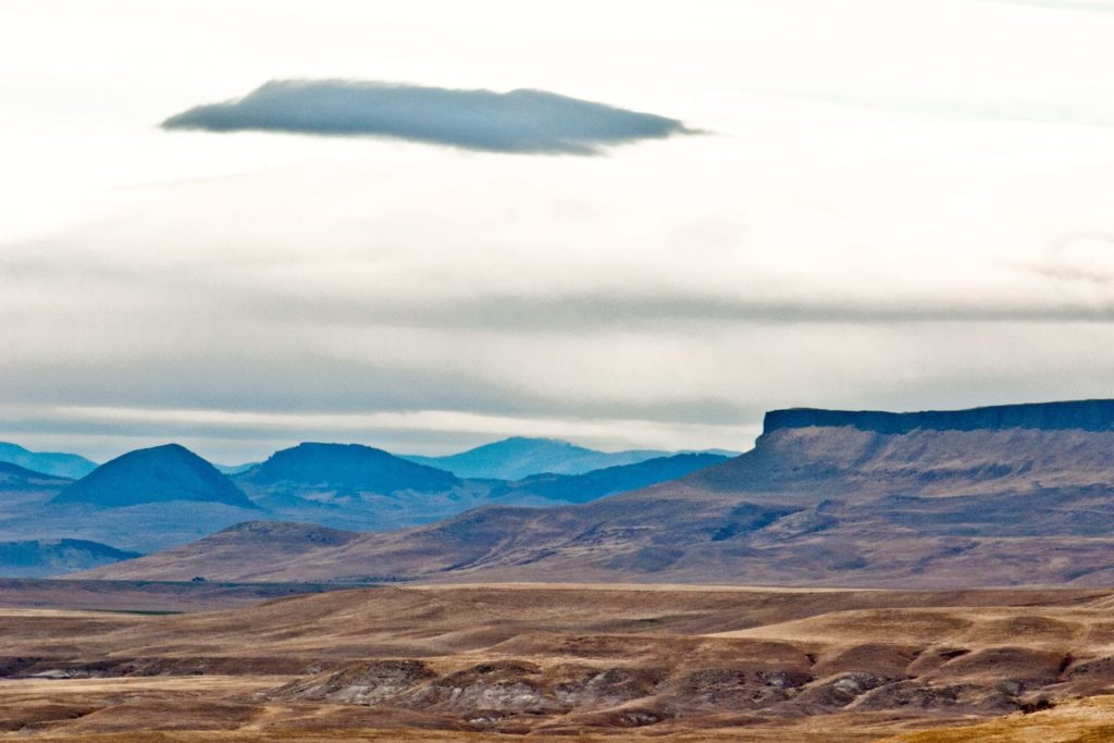
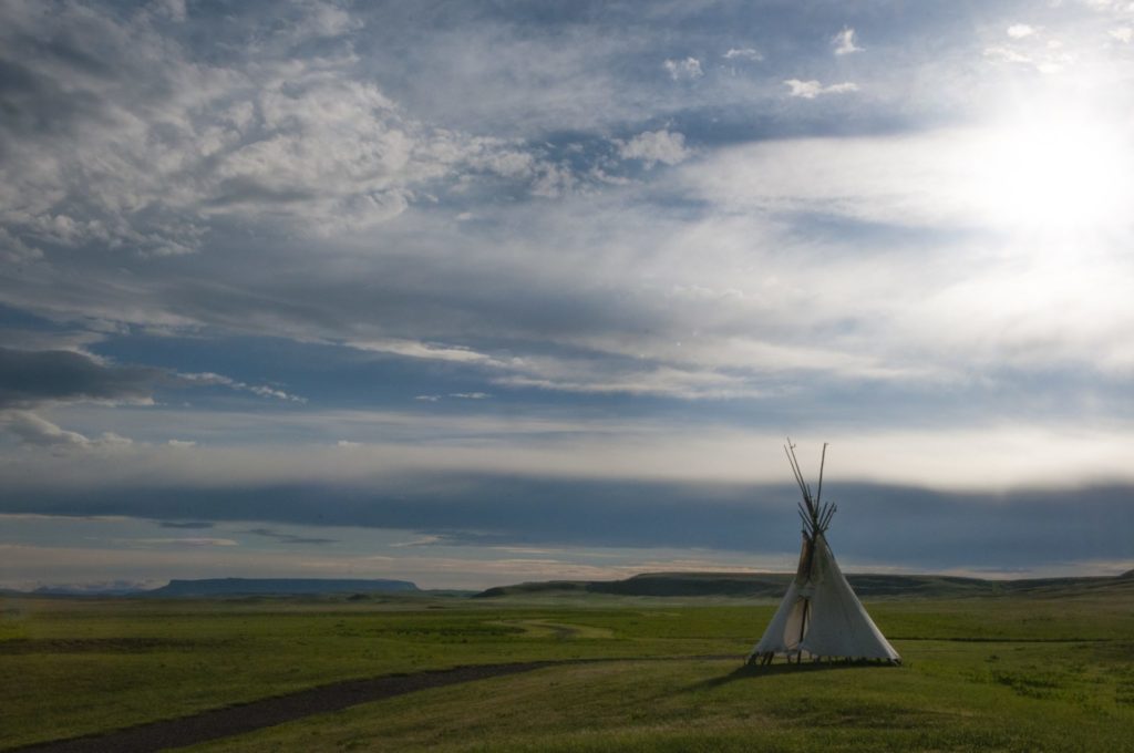
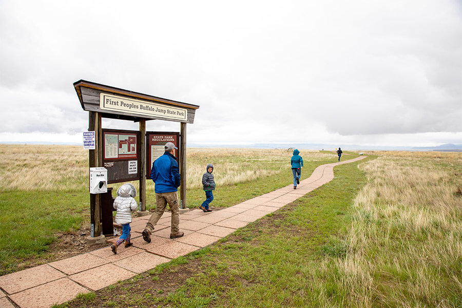
Located South of Great Falls and just outside of Ulm, First Peoples Buffalo Jump is one of the largest buffalo jumps in the United States and is known in the archeology community as the most significant buffalo jump in the world! Evidence suggests that this site, also known as the Ulm Pishkin, may have been the most frequently used buffalo jump in the world.

First Peoples Buffalo Jump State Park
IMG_5966

Download Park Map

Park history

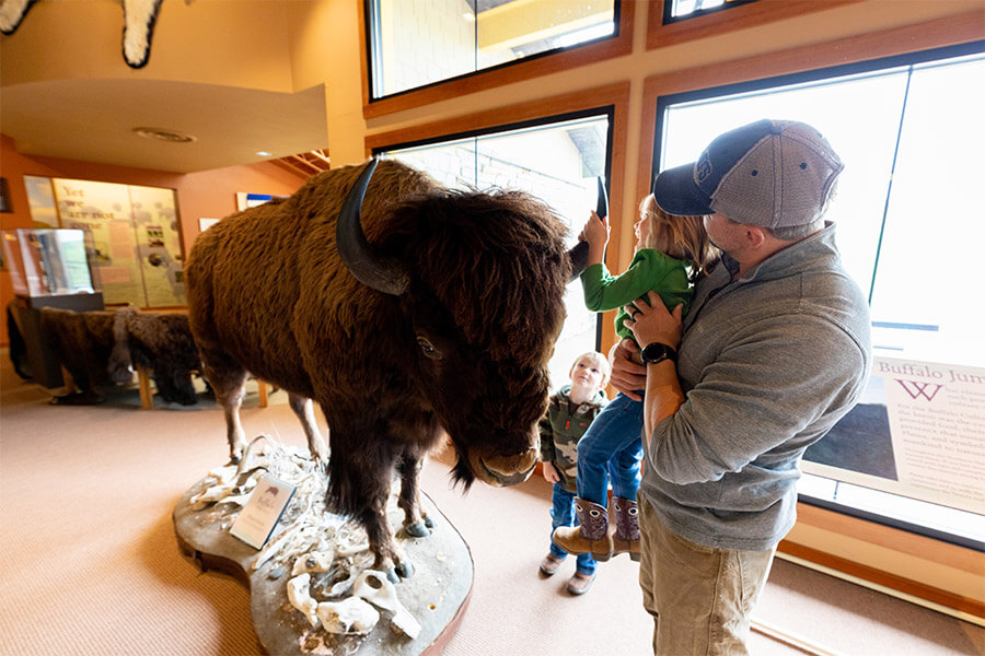
A 6,000 square foot Visitor Center helps to pay homage to both the buffalo and the Native American’s who honor it. Inside you’ll find buffalo culture exhibits, a circle for storytelling, a classroom, a gallery, and a bookstore!

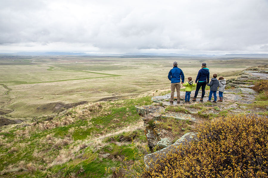
Outside the Visitor Center are an outdoor amphitheater and even a few traditional games playing fields. The cliffsides now offer up amazing views to visitors from all over the world.

At the base of the cliff, you can see 18 feet of compact buffalo remains, but it can be difficult to make out distinct items like skulls or other bones after so many years. The original name of the park “Ulm Pishkin” comes from the Blackfeet word "Pis'kun," meaning "deep kettle of blood”. The mile-long cliff ranges from 30 to 50 feet in height, any higher and meat may have been damaged and unusable. Of the over 300 buffalo kill sites in Montana, First Peoples Buffalo Jump is one of only three that are protected.

Native tribes would stampede herds of bison off the cliff and collect the remains below. Bison meat served as a main staple in the early Native American diets of the region. While this form of hunting was very popular and safe compared to the alternatives it was not the most common.

Ambush killing, where the hunters would sneak up to the animal before attacking, was the most frequent way for them to provide food, tools, and clothing to their families. It was very dangerous due to the size and strength of the animal. Because of this many of these sites are considered sacred. Ambush hunting became less and less utilized as the horse came onto the scene, allowing hunters to keep pace with the bison and guide them more effectively to sites like this and eventually as they began breeding horses even the buffalo jump became obsolete. Giving way to mounted hunters who could chase, kill, and carry back the precious remains.

The most accepted theory as to the use of “Buffalo Jumps” has the hunters slowly encircling the herds and pushing them towards the area. It could take hours if not days and was very dangerous.

As the herds would draw closer and closer to the cliffs they would be guided to a specific spot by others using low fences made of twisted vines and large rocks. These “Drive Lines” can still be found today. They sometimes extended over a quarter of a mile away.

Once the Buffalo had reached their holding spot the hunters would approach, sometimes wearing wolf pelts and sneaking on all fours, and when the time was right they would jump up shouting and making loud noises creating a stampede.

The fastest and bravest of the hunters, called “Buffalo-Runners” would dance in front of the herds leading them over the cliff. Often jumping to a safe spot just below the ledge.

After the herd had gone over or dispersed the women, children, and elders would move through the aftermath killing any that may have survived and then processing and harvesting as much of the animal as possible.

Plan to spend at least two hours at First Peoples Buffalo Jump to make time for the many activities!

*Notice!: Due to recent world-wide events Visitors Centers, Regional Offices, Ranger Stations, Campgrounds, and other facilities including many restrooms are now closed to the public. MT FWP is monitoring the situation and making changes to their policy on a rolling two week basis.

Years after the area was settled it became a cattle ranch and eventually mining area. Eventually, in the 1950s the bone itself began to be mined before a local rancher named Earl Monroe leased the land to protect it from further destruction.

Earl kept the land off-limits to the public while under his care. The land went through many hands and many legal battles over the years before finally coming under the protection of the state in the late ‘90s and becoming a full-fledged state park in the year 2000.


Did You Know

Curious what other visitors have had to say about the park?

"The museum itself was extremely neat and clean. It's a small establishment that you can tour yourself - which I LOVED! The 2 guides were helpful and answered any questions that we had regarding the jump. I would absolutely suggest this place to anyone visiting the Great Falls area."

"What a piece of history we knew nothing about. Fascinating and then taking the drive to the cliffs I couldn't imagine running ahead of a herd of buffalo and at the last minute jumping over the edge to safety. This park is definitely worth a visit. Make the time."

"Great history and amazing views of the valley. A great 1 mile hike up to the buffalo jump cliff, or take the road around the other side of you don't want to hike it. Restroom is available in the visitors building and near the cliff."

"What a great place to see. It is so peaceful and tranquil. I enjoyed it so very much."


Quick Facts
  • pine icon

    Park

    Summer - open daily.
    Winter - open Wednesday through Sunday.

  • pine icon

    Summer Hours 

    April 12 - September 12: open 8 am - 6 pm daily.

  • pine icon

    Winter Hours

    Sept. 14 to March 31:
    10 am - 4 pm Wed - Sat and 12 pm - 4 pm Sun.
    Closed Monday and Tuesday.
    The gates at the top of the Jump may be closed during times of deep snow.

  • pine icon

    Location

    342 Ulm -Vaughn Rd. Ulm, MT 59485

First Peoples Buffalo Jump State Park Read More »

Beavertail Hill State Park 1

Beavertail Hill State Park

Beavertail Hill State Park

Beavertail Hill State Park

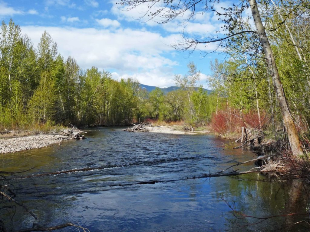
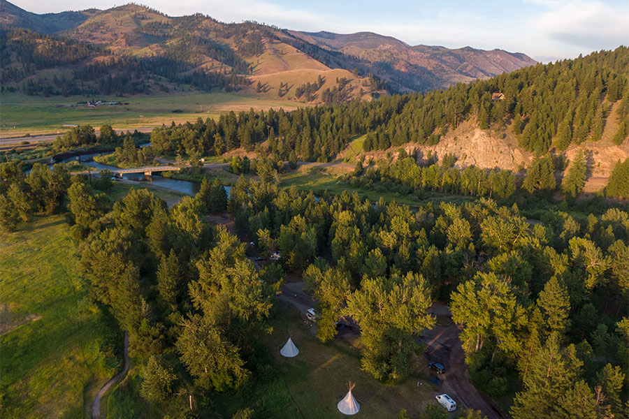
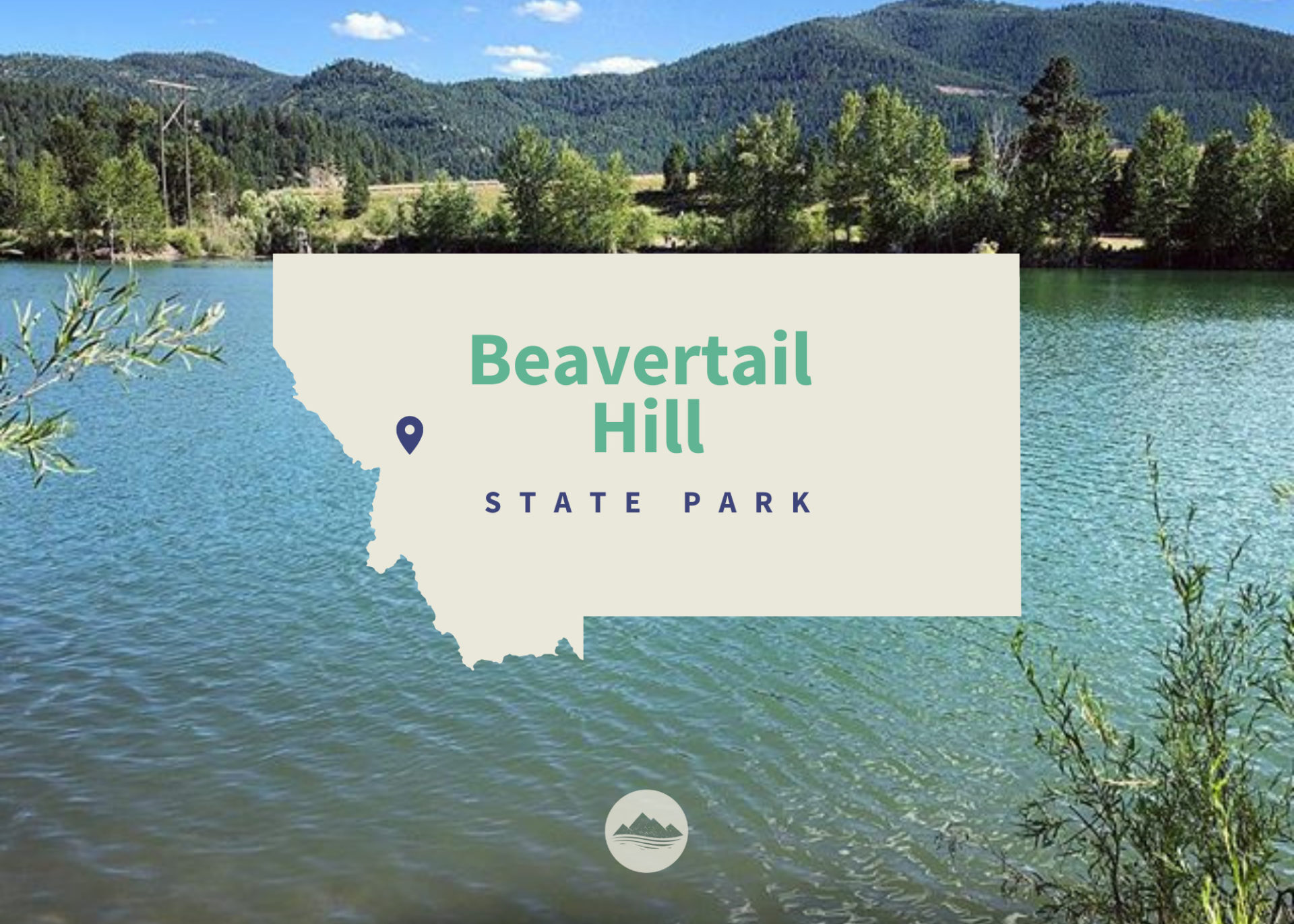
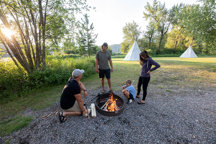
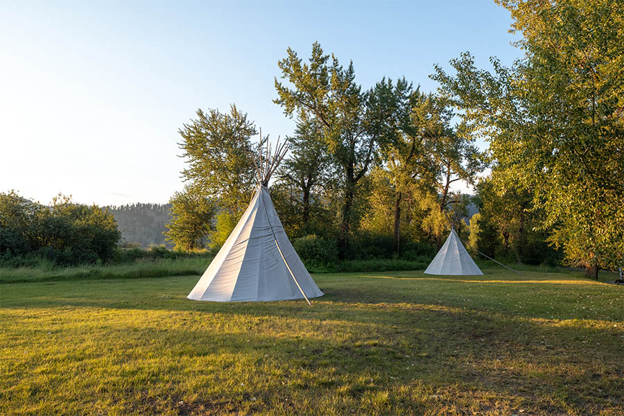
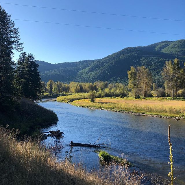
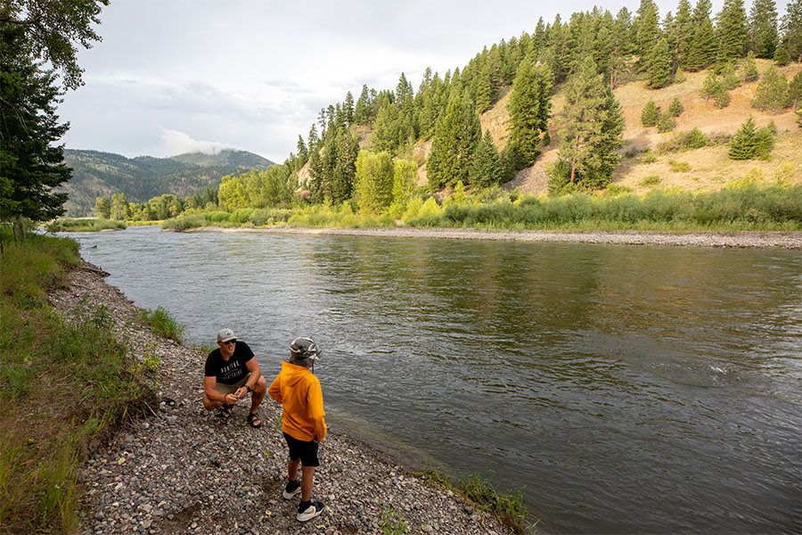
This park has a one-half mile of Clark Fork River frontage that provides fishing and floating opportunities. Boating is carry-in only. There are 24 developed campsites and 2 tipi rentals.

There is a walking nature trail through a thick canopy of cottonwood trees that takes about an hour from start to finish. The park has an elevation of 3,615 feet and is 65 acres. RV and trailer units have a limit size of 28 feet. 

Beavertail Hill State Park
IMG_5965

Download Campsite Map

IMG_5966

Download Park Map

Beavertail Hill is one of Montana's busiest state parks based on the number of nights people camped at the park.

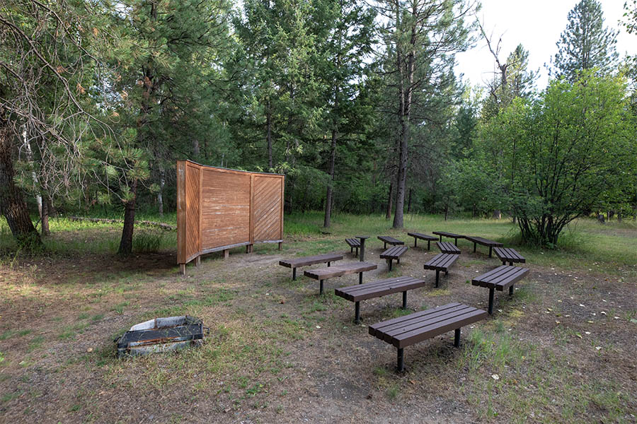
During the summer, free interpretive programs are hosted in the amphitheater on Saturday evenings.

Park Rangers and other outdoor professionals use these programs to teach park visitors about the history, geography, geology, and other nature-based topics throughout the summer months.

Did You Know

Curious what other visitors have had to say about the park?

"First time staying here. Great little campground. Well maintained. Hosts were very pleasant and helpful. Will be staying here again in the future."

"Spent one night and enjoyed our stay. Sites were level and very large with tree-privacy. We spotted 17 bird species, elk and ground hogs."

"What a beautiful, secluded camp ground on the river! We just stopped in to have a picnic lunch. It is only a half mile from I-90, but it is so quiet!"

"Tipi rental was very clean, functioning and authentic. Dogs must be on a leash but there are fully functioning bathrooms and readily accessible potable water. Plenty of memories were made and we will definitely do this again."


"Nice quiet place to take a hike, or you can go camping or go fishing in the river."

Quick Facts
  • pine icon

    Park

    Summer Season
    Open 5/1 through 10/31
    24 hours/day
     
    Winter Season
    Nov 1 - April 30.
    Closed to all motorized traffic, walk-in only. Day-use only, no overnight camping.
  • pine icon

    Location

    29895 Bonita Station Road
    Clinton, MT 59825

Parks That Others Are Visiting

Beavertail Hill State Park Read More »

Skip to content