Hiking

Thompson Falls State Park

Thompson Falls State Park

Thompson Falls State Park

Thompson Falls State Park

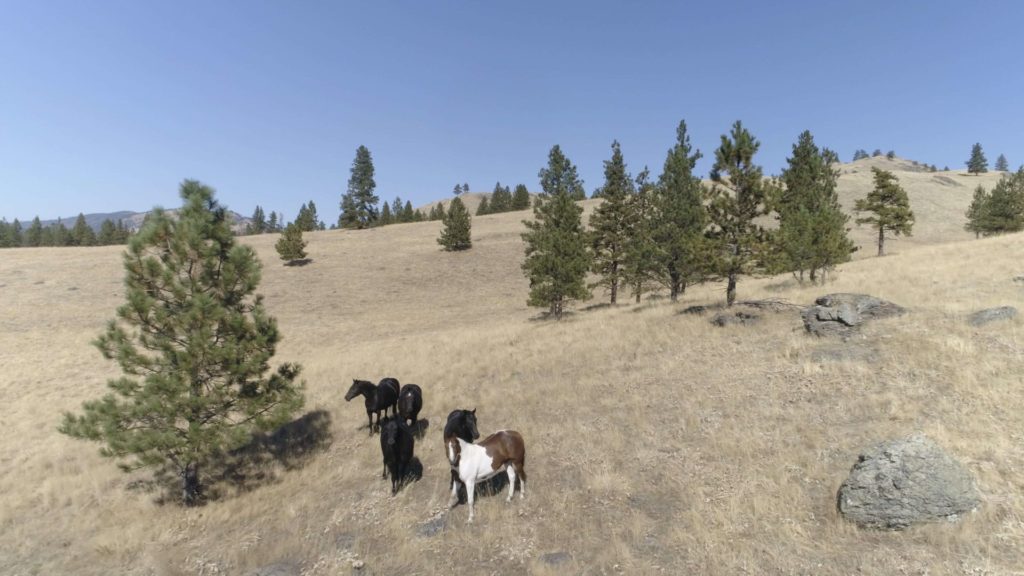
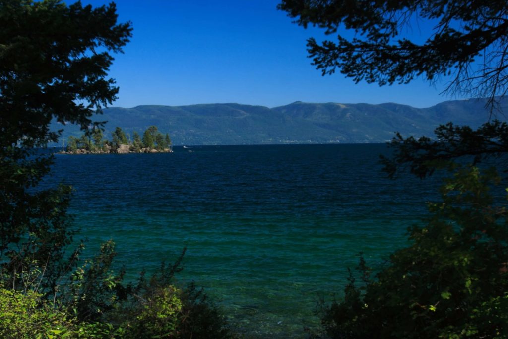
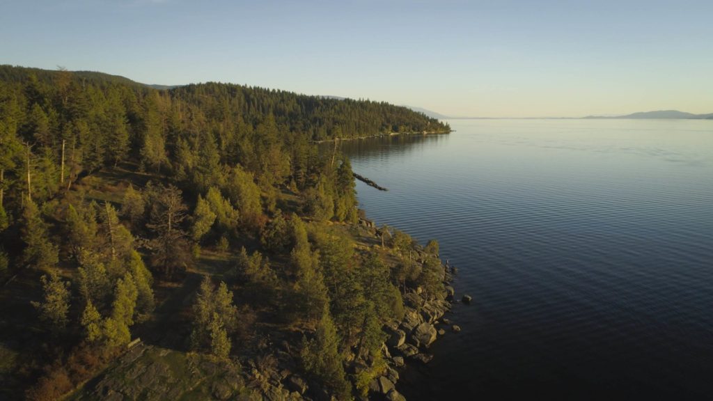
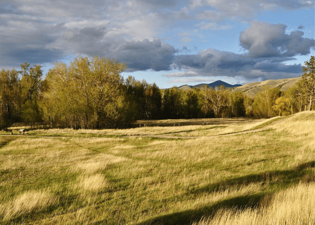
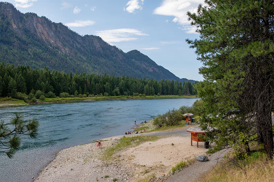
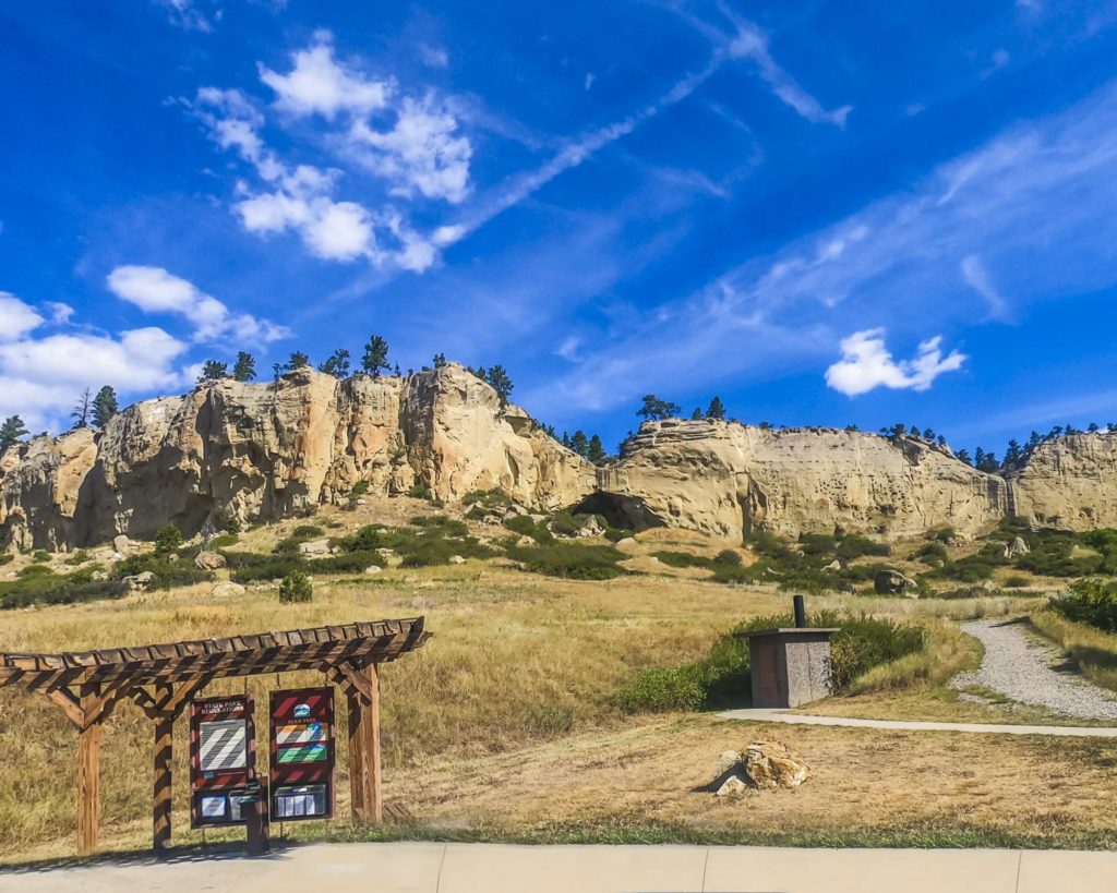
Located along the Clark Fork River between Thompson Falls Dam and Noxon Dam, Thompson Falls State Park is surrounded by a mature and a mixed conifer forest making for a tranquil and quiet destination.

We are able to bring you valuable information about this amazing state park thanks to the support of:

1
IMG_5965

Download Campsite Map

IMG_5966

Download Park Map

Looking to hike or fish?

Ready to hike away your day? Thompson Falls Trail runs along the Clark Fork River and connects to the Montana Highway 200 into the town of Thompson Falls where you’ll find the Thompson Falls Community Trails network.

Pike and bass are the most common species fished out of Thompson Falls State Park, but you may find a surprise species if you’re lucky!

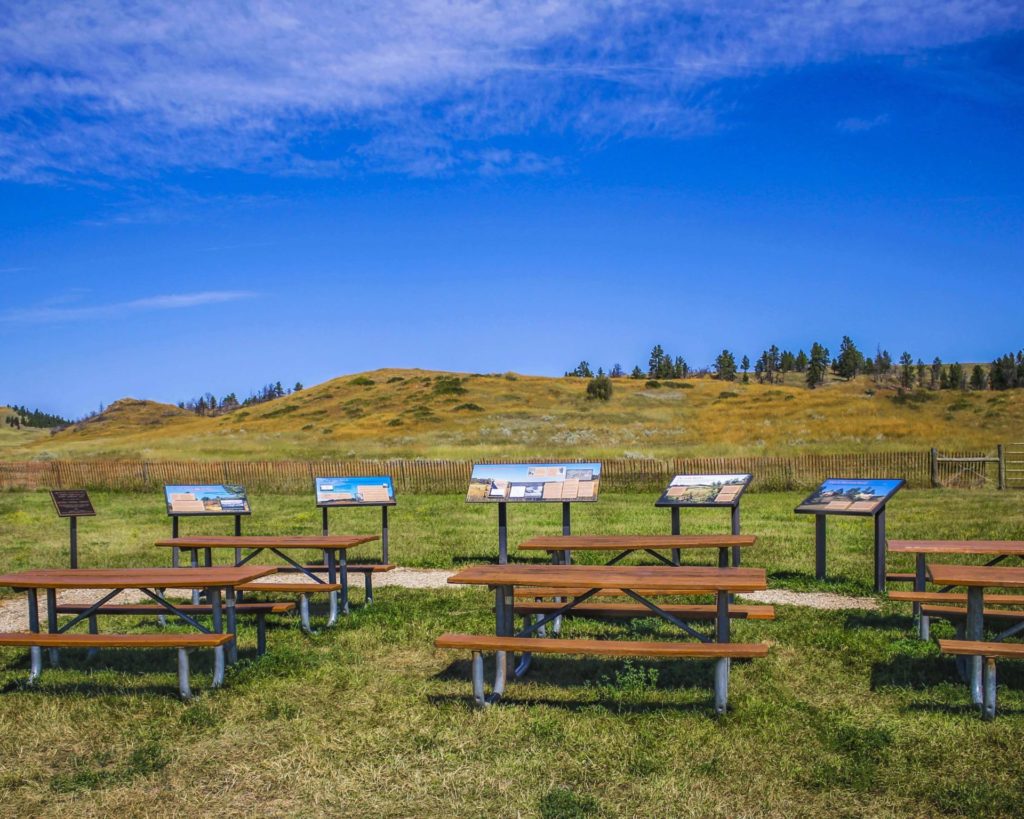
While fishing and hiking are popular in Thompson Falls, this state park is used mostly for camping and picnicking. Host to 18 sites and a group picnic area, this riverside campground is great for tent or RV camping, but make sure your trailer is no more than 30 feet!

The Thompson Chain of Lakes includes 18 lakes and stretches 20 miles! Families will love the improved fishing pond which includes an accessible fishing pier, picnic shelter, bathroom and improved parking.

Did You Know

Curious what other visitors have had to say about the park?

"Nice place to camp along Clark Fork River. Beautiful view from the back of our site along the river. Camp was quiet and bathrooms were clean."

"Plenty of camping and picnic spots, along with a boat launch. Long stretches of Sandy Beach along the river for swimming. We enjoyed kayaking, as well! We come every year for a big family campout!"

"This place is so beautiful! The trail is right on the river. My children absolutely loved it! My 5 year especially loved the lake with all the turtles. This is a great place to eat lunch and go for a short hike."

"A great place to camp!! Will definitely go back."


Quick Facts
  • pine icon

    Park

    Open Year-Round

  • pine icon

    Campground

    Open Year-Round

  • pine icon

    Location

    2220 Blue Slide Rd. Thompson Falls, MT 59873

Parks That Others Are Visiting

Thompson Falls State Park Read More »

Spring Meadow Lake State Park 3

Spring Meadow Lake State Park

Spring Meadow Lake State Park

Spring Meadow Lake State Park

Located west of Helena is Spring Meadow Lake State Park, a day-use park, popular for swimming, sunbathing, fishing and birdwatching.

Spring Meadow Lake
IMG_5965

Download Campsite Map

IMG_5966

Download Park Map

Looking for wildlife?

There are great wildlife viewing opportunities at Spring Meadow Lake State Park. You’ll find birds, rabbits, turtles and more! Looking for a nice walk? A 0.8-mile, self-guided nature trail circles the lake.

If you’re in need of a spot to fish, Spring Meadow Lake is your place. The lake is home to trout, bass and sunfish and there is even an ADA accessible fishing dock added to the park in 2011!

Even in winter, Spring Meadow Lake is perfect for recreation. The trail is open all winter and if it’s cold enough you can even fish or skate on the lake!

Unfortunately, your four-legged friend will have to stay home during the warmer months. Between April 15 and October 15 there are no dogs allowed in Spring Meadow Lake State Park.

Spring Meadow Lake State Park is a fed by a natural spring that feeds cool, clean water into the lake that is used for fishing, swimming, non-motorized boating, and even scuba diving. The lake and the state park land surrounding it were once an active gravel mine that was donated to the state in 1981.

Did You Know

Curious what other visitors have had to say about the park?

"Nice quite little state park inside of Helena. Relaxing place to picnic, fish, swim or small boat/kayak."

"Great place to take the family out for the day and even get some fishing in. Located right in the heart of Helena, it is not out of the way at all and certainly worth a trip even just to hang out for lunch. The view is really nice, especially for being right in town that you would never even know."

"Great family park for Helena. Well maintained and kid-friendly swimming areas balanced with nice trails and fishing areas."

"Spring Meadow Lake State Park is the crown jewel among all the local parks. It is close to town, so people who can't go too far afield on their own (kids, for instance) can get there on foot or by bicycle. The lake itself is also a gem - it is usually clear, and it is always deep, cold, spring-fed and full of fish that everybody and anybody can try to catch. Helena is blessed with abundant parks and lots of nearby venues for outdoor fun but compared to any other urban parks and fishing spots anywhere, Helena's Spring Meadow Lake State Park cannot be beat."


Quick Facts
  • pine icon

    Park

    Open all year
    6am – 10pm

  • pine icon

    Location

    2715 Country Club Drive Helena, MT 59601

Spring Meadow Lake State Park Read More »

Sluice Boxes State Park

Sluice Boxes State Park

Sluice Boxes State Park

Sluice Boxes State Park was created in 1974 and included significant historic structures and remnants of the abandoned towns of Riceville and Albright that once existed for the purpose of mining limestone in the canyon.

Belt Creek which formed the canyon that is the centerpiece of the park, has long been popular for outdoor recreation. Citizens of nearby Great Falls began visiting the area for fishing, camping, hunting and other activities as early as 1889 when the railroad connecting silver mines in the Barker and Hughesville mining districts to smelters in Great Falls was completed.

Sluice Boxes State Park
IMG_5965

Download Campsite Map

IMG_5966

Download Park Map

Things to do:

The park is now popular with local visitors, history enthusiasts, fishermen, hikers, and others. The rugged landscape creates dramatic scenery as it contrasts distinctly with the rolling hills and rounded mountains of this part of central Montana.

A walk down the old railroad grade trail will bring you to fishing access, floating, swimming and wildlife viewing. Be aware: steep cliffs, rugged terrain and cold, swift water can pose a risk to visitors, so be sure to take caution!

If you’re looking to camp, you’ll need a Backcountry Campsite Permit. You can contact Montana Fish, Wildlife and Parks headquarters in Great Falls to do so.

The Barker Mines and the Montana Central Railroad are part of the history of Sluice Boxes State Park.
Carved by Belt Creek as it comes down from the Little Belt Mountains, the large limestone cliffs and steep ledges are the signatures of Belt Creek Canyon.

By September of 1890, the Central Montana Railroad dropped off fisherman at various locations along Belt Creek in what is now Sluice Boxes State Park. When Belt Creek was named a blue ribbon trout stream in the 1920s, the railroad ran special “fishing trains” on Sundays.

This area was once home to prospectors searching for precious metals, miners, muleskinners, smelter men and railroaders building bridges. Today, visitors can find the remnants of mines, cabins and a railroad along the banks of Belt Creek in the park.

Did You Know

Curious what other visitors have had to say about the park?

"We stop every trip because the view is gorgeous no matter what the season."

"Beautiful place. Be prepared if you plan on hiking the trail. Lots of river crossings."

"A great place to hike if you don't mind crossing the river several times. It is best to go in the late summer when the river is at its lowest point so that you can cross safely. There is an old homestead to explore as well."

"Family & pet friendly hike. Beautiful for pictures and swimming. There is a spot where you can do a cliff jump into the lake."


Quick Facts
  • pine icon

    Park

    Open all year
    Parking area/ trailhead open sunrise to sunset.

  • pine icon

    Campground

    Backcountry open 24/7

    Permit required

  • pine icon

    Location

    38 Evans Riceville Road Belt, MT 59412

Sluice Boxes State Park Read More »

Salmon-Lake-State-Park

Salmon Lake State Park

Salmon Lake State Park

Salmon Lake State Park

Tucked between the Mission and Swan Mountain Ranges along the Clearwater River you’ll find Salmon Lake State Park, a great park for camping and water recreation.  Salmon Lake became a state park in December of 1977.  

A memorial plaque near the park's center explains how the Salmon Lake State Park was a gift from the Champion Timberland Corps and is meant to serve as an honor to three foresters who died in a plane crash in 1976.

Salmon Lake State Park
IMG_5965

Download Campsite Map

IMG_5966

Download Park Map

Looking to visit?

Fall is one of the best times to visit the park. The reflection of colorful Western Larch trees in the lake makes for a breathtaking view! 

The forests surrounding the lake are home to many Western Larch trees which are unique as they are one of only a few species of deciduous coniferous trees, meaning that they change color and shed their foliage in the fall like broadleaf trees.  

  • Fish in Salmon Lake or Clearwater River for a variety of trout, largemouth bass, white mountain whitefish, kokanee salmon, yellow perch and northern pike. 
  • Go birdwatching and see if you can spot any red-necked grebes, great blue herons, bald eagles, waterfowl, osprey or common loons. 
  • Enjoy the gravel beach and take a dip in the lake. 
  • Take a hike along the shoreline or through the forest on one of the many trails. 
  • Enjoy the lake in a canoe, kayak or on water-skis if you’re a bit more adventurous. 
  • Plus so much more!

A beautiful forest of Western Larch, Ponderosa Pine, and Douglas-Fir surround the campsite, which includes 23 paved sites with electrical hookups.

The campsite host can provide ideas for activities and will have firewood for sale!

This campsite has become so popular in the last few years, reservations are recommended to be sure you don’t miss out!

Did You Know

Curious what other visitors have had to say about the park?

"I love this park. They have a couple of camp spots that right on the water and it's gorgeous. They also have some really nice spots that are up on a hill overlooking the lake with nature trails that lead to an island! There are even a couple of hiker/biker spots for $8 a night. Seriously, this is one of my favorite camp spots in the area."

"Great campground, nice camp host, amenities were what the website stated. Will be back!"

"Great lake to swim, paddle, and boat!"

"I’ve fished this lake probably around three hundred times and I just keep coming back. I fish mostly northern pike and it’s rare that I go home empty handed. The boat launch is above average and they’ve recently added a no swimming sign to the dock which is beneficial and safer for me as a boatsmen. There is a separate swimming area. It also has a covered area for picnics, clean restrooms, and amble parking for single cars."


Quick Facts
  • pine icon

    Park

    Summer Season
    Park open through the summer until late October.
     
    Winter Season
    Nov 1 - April 30
    Closed to all motorized traffic, walk-in only. Day-use only, no overnight camping.

  • pine icon

    Campground

    Open 5/1 through 9/30.

  • pine icon

    Day Use Area

    Open 5/1 - 11/30, weather permitting. November snow storms may close the area early.

  • pine icon

    Location

    2329 Hwy. 83 N Seeley Lake, MT 59868

Salmon Lake State Park Read More »

Rosebud Battlefield State Park 6

Rosebud Battlefield State Park

Rosebud Battlefield State Park

Rosebud Battlefield State Park

The location of the Battle of Rosebud, is an incredible and historical location that shouldn’t be missed!


Rosebud Battlefield State Park
IMG_5965

Download Campsite Map

The Park History

One of the largest battles of the Indian Wars, the Battle of Rosebud, or “Where the Girl Saved Her Brother” as referred to by the Northern Cheyenne, lasted for eight hours. Because Crook’s troops had been withdrawn from the war zone in order to resupply, they were not there to support Colonel Custer at the Battle of the Little Bighorn one week later.

The battlefield is still used throughout the year by U.S. Armed Forces to study military strategy, including how troops take on an enemy who is familiar with the landscape.

The park includes Kobold Buffalo Jump, a cliff once used by Native Americans and marked with petroglyphs. A short hike within the gap to the cliffs will allow you to see these.

The use of metal detectors, digging and the collecting or removal of artifacts is restricted and bikes are allowed on existing roadways only. Be very cautious while in the park as rattlesnakes reside in the area!

Although camping isn’t available at Rosebud Battlefield, there is camping available at Tongue River Reservoir State Park only 13 miles south.

Rosebud Battlefield is one of the most undeveloped, pristine battlefields in the nation. While looking for the Sioux and Northern Cheyenne villages of Chief Sitting Bull, Brigadier General George Cook, along with 1000 troops and Crow and Shoshone scouts, were unprepared for an organized attack.

On June 17, 1876, an equal or greater number of warriors led by Sioux Chief Crazy Horse and Cheyenne Chiefs Two Moon, Young Two Moons, and Spotted Wolf, attacked the band of soldiers.

Did You Know

Curious what other visitors have had to say about the park?

"What a unique piece of Montana history! The story of the young Cheyenne woman saving her brother against the US Army happened here."

"Great experience. Largest battle in the Indian wars. Very interesting presentation."

"This is the battle that preceded the battle of little big horn by a few days and would have saved Custer if it did not happen. A must see!"

"This is part of our western history few people know of. It was over looked becsuse of Custers actions eight days later."


Quick Facts
  • pine icon

    Park

    Open all year/Day Use Only

  • pine icon

    Location

    42 HC Busby, MT 59016

Rosebud Battlefield State Park Read More »

Pictograph Cave State Park 4

Pictograph Cave State Park

Pictograph Cave State Park

Pictograph Cave State Park

Pictograph Cave State Park lies just outside of Billings, MT. This park features three caves that are preserved and protected in the 23-acre state park.

Along the rimrocks, you'll find where Pictograph Cave has drawn human beings for over 3,000 years and was home to generations of prehistoric hunters.

We are able to bring you valuable information about this amazing state park thanks to the support of:

Visit Southeast Montana
1
IMG_5966

Download Park Map

Looking to camp?

With its abundant wildlife and vegetation, the fertile Yellowstone River valley just north of the park provided an ideal campsite for travelers. Inside the three caves at the park, you can find over 2,100-year-old pictographs from some of Montana's first inhabitants.

When and how these inhabitants arrived is still a mystery and the pictographs they left behind are still subject to great debate.

  • Transport yourself back in time by exploring the caves
  • Check out the Visitor Center and learn more about the history of the caves.
  • Eat your picnic while gazing out at incredible views.
  • Don’t forget to pick up a memento from the gift shop!
  • See if you can spot any wildlife near the caves.

Due to its archeological significance, Pictograph Cave State Park was designated as a National Historic Landmark in 1964. Thousands of years ago, prehistoric hunters who camped in the Pictograph Cave left behind artifacts and over 100 pictographs. The oldest art found at Pictograph Cave State Park is over 2,000 years old and from some of the very first humans on the plains.

The three main caves in the park - Pictograph, Middle, and Ghost - were created from the Eagle sandstone cliff by water and wind erosion. The deepest of the caves, Pictograph Cave, is 160 feet wide and 45 feet deep. In 1936 the first artifacts and paintings were discovered in the caves. Roughly 30,000 artifacts were excavated from the site including, stone tools, weapons, paintings, and instruments. These artifacts helped researchers understand which native people used the caves and when.

In addition to tools and animal bones, the excavations also turned up jewelry, pendants, bracelets, and beads crafted of seashells acquired from Pacific Coast Indians, and in one excavation, researchers discovered barbed harpoon points of the Eskimo culture, made of caribou horn.

At the Park today, you'll see pictographs depicting animals, warriors, and even rifles! The different colors used in the pictographs allowed researchers to identify when people inhabited the region and gave an inside look into their lifestyle. If you’re planning to visit, be sure to bring your binoculars to get the best view of the rock art and be sure to check out the Visitor’s Center which includes interpretive displays and a gift shop.

Depending on the season you can see mountain lions, black bears, turkeys, coyotes, porcupines, red-tailed hawks, golden eagles, bald eagles, northern harriers, bobcats, mountain cottontails, rock doves, turkey vultures, mule deer, canyon wrens, magpies, ravens, crows, and chickadees.

The best time to see the pictographs is after rain or snowmelt! The moisture causes the drawings to become more prominent. And you'll give yourself about an hour to walk the trail with extra time for a picnic and bird watching.

Did You Know

Curious what other visitors have had to say about the park?

"Great place to spend a couple hours, lots of history and dog-friendly. Even in March, it’s a beautiful place to go. Could hear the cracking of the ice on the Yellowstone while looking at the caves."

"Be aware, if you are not from Montana, that you need to be snake smart as this is a habitat for rattlesnakes. Watch where you step and leave them alone if you see one and they will leave you alone."

"Really enjoyed this cave Included the Indian Heritage couple of steep climbs but overall a good walking experience."

"Went here with my kids, great staff and charming volunteers. Nicely laid out park, but I was most struck by realizing that I was standing in a spot that has been inhabited for over 10,000 years. Artifacts from this spot are twice the age of the Great Pyramids of Giza."


Quick Facts
  • pine icon

    Park

    Summer Hours
    Third Friday in May-Third Sunday in September
    Open Daily
    Park: 9 am - 7 pm

    Winter Hours
    Third Monday in September - Third Thursday in May
    Open Wednesday - Sunday
    Park: 9 am - 5 pm
    Closed Monday & Tuesday, and Thanksgiving, Dec. 24, 25, 31 & Jan. 1

  • pine icon

    Visitor Center

    Summer Hours
    Open Daily
    Visitor Center: 10 am - 5 pm

    Winter Hours
    Open Wednesday - Sunday
    Visitor Center: 10 am - 4 pm
    Closed Monday & Tuesday, and Thanksgiving, Dec. 24, 25, 31 & Jan. 1

  • pine icon

    Location

    3401 Coburn Road Billings, MT 59101

Pictograph Cave State Park Read More »

Wild Horse Island State Park 1

Wild Horse Island State Park

Wild Horse Island State Park

Wild Horse Island State Park

Located on Flathead Lake, Wild Horse Island is the largest island in a freshwater lake west of Minnesota.

Accessible only by boat, Wild Horse Island has six boat landing sites, but visitors are welcome to pull their boats to shore on any of the public beach sites.

While most of the island is a state park, be aware as there is still private shoreline, therefore visitors are prohibited from using the boat docks.

Wild Horse Island State Park
IMG_5965

Download Campsite Map

IMG_5966

Download Park Map

Looking to hike?

Due to the variety of wildlife, Wild Horse Island does not allow camping, pets or bikes as they may spook the animals. Fires and smoking are prohibited anywhere on the island.

What can you do at Wild Horse Island? The question is, what can’t you do?! You can:
Take a hike! The island has four miles of interconnected hiking trails, but visitors are free to explore off-trail as well.

  • Try and catch your dinner! Fishing is allowed with tribal & state fishing licenses.
  • Check out the wildlife including bighorn sheep, mule deer, songbirds, waterfowl, bald eagles, falcons and wild horses.
  • Warm day? Take a dip in Flathead Lake!
  • Pack a picnic lunch to enjoy while you enjoy the views.

Wild Horse Island is said to have been used by the Salish-Kootenai Indians who would pasture their horses on the island to prevent them from being stolen by other tribes!

Wild Horse Island used to be farmed and in the 30s even hosted a lodge. Visitors can still find apple and pear orchards, so if you’re feeling peckish, grab a snack! Besides the great views and interesting wildlife, you can also find rare, endangered plant life on Wild Horse Island. The island even has a Palouse Prairie ecosystem, one of only three of these biomes in Montana!

Did You Know

Curious what other visitors have had to say about the park?

"Beautifully untouched for the most part. There are 5 horses currently on island and 1 bear, that we saw neither of. Lol. However it was abundant with bald eagles, osprey, deer, and bighorn sheep. Most of which you can view from a boat offshore if you have a keen eye. If not get a guided tour. But no tours are given on island, just to and from."

"Great place to boat to and relax. Beautiful water and fun rocks to skip!"

"Beautiful island to cruise around and we caught the 5 wild horses on the Western side!"

"Island in flathead lake with a few hiking trails and animals. Worth a visit during the day, or coming over by boat closer to dusk to see the deer, sheep, and possibly horses as they come down to drink."


Quick Facts
  • pine icon

    Park

    Open Year Round

  • pine icon

    Restrictions/Closures

    Fires & Smoking Prohibited
    Groups 15 and over must have a special permit.

  • pine icon

    Location

    Flathead Lake
    Latitude/Longitude:
    (47.84715/-114.23458)

Wild Horse Island State Park Read More »

West Shore State Park 2

West Shore State Park

West Shore State Park

West Shore State Park

West Shore State Park is located just outside of Lakeside, MT and is open year-round!

There, you will find glacially-carved rock outcrops within the park where you’ll have incredible views of Flathead Lake and the Mission and Swan Mountains Ranges.

West Shore State Park
IMG_5965

Download Campsite Map

IMG_5966

Download Park Map

Looking to hike?

All of the hiking trails at the park are single-track dirt trails that range from steep and laborious to gradual, contoured and easy-going. Pets are welcome on a leash.

West Shore has a dock so long that boats can use it year-round (including winter!) when the lake is low. Experience the tranquil atmosphere while camping in a forest of fir, pine and larch above Flathead Lake.

There are 31 campsites available with seven being tent only. If you plan to bring your RV or trailer, make sure it’s no more than 40 feet.

  • pine icon

    Take in the unique topography of West Shore State Park on 4 miles of hiking trails along the rocky shoreline.

  • pine icon

    Bring your joint state/tribal fishing license and take your shot at catching dinner from the lake!

  • pine icon

    Spend a day on the lake and rent a kayak or canoe from Sea Me Paddle in Lakeside or at the Park during the summer.

  • pine icon

    Enjoy the beach and then cool off with a dip in chilly Flathead Lake.

  • pine icon

    Check out the local wildlife, including great birdwatching!

West Shore has a dock so long that boats can use it year-round (including winter!) when the lake is low. Experience the tranquil atmosphere while camping in a forest of fir, pine and larch above Flathead Lake.

Did You Know

Curious what other visitors have had to say about the park?

"We just stopped here to relax a bit. The park is in a nice forest with lake access. There is also a small trail inside the park which leads to a nice vista point."

"This Lake brings back so many childhood memories there is a single spot of this like that I don't love!"

"Good trails. Beautiful shore line. Camping spots look good, not too close together."

"SO pretty!!! I just want to LIVE here!"


Quick Facts
  • pine icon

    Park

    Open

  • pine icon

    Campground 

    Open

  • pine icon

    Potable water

    May through September

  • pine icon

    Dock

    For status updates please visit our Facebook page or call Flathead Lake State Park, 406-837-3041.
    For waves & wind forecast, check NOAA Graphical Flathead Lake Forecast

  • pine icon

    Location

    17768 MT Hwy 93 Lakeside, MT 59922

West Shore State Park Read More »

Wayfarers State Park 2

Wayfarers State Park

Wayfarers State Park

Wayfarers State Park

Located on the northeast shore of Flathead Lake near Bigfork, you’ll find Wayfarers State Park. This park, while small, has so much to offer!

Wayfarers State Park
IMG_5965

Download Campsite Map

IMG_5966

Download Park Map

IMG_5964

Download Brochure

Looking to camp?

From spring to late fall, the area abounds in wildflowers. Nature walks over the rocky shoreline to the cliffs are popular with photographers for an excellent view of Flathead Lake. There are 30 campsites in the park, including a hike-bike campsite with 9 tent pads, convenient for cyclists traveling the nearby Continental Divide route.

The maximum length for RV/trailer units is 40 feet. Starting in spring and into the late fall, Wayfarers is full of wildflowers! The best part of Wayfarers State Park? Its location along the northeastern part of Flathead Lake makes it one of the ideal places to watch the sunset over the lake and sink behind the mountains.

While close enough to Bigfork to walk, the mature mixed forest of Wayfarers makes it a great place for camping and picnicking. Located near the quaint resort town of Bigfork on the northeast shore of Flathead Lake, this park is 67 acres in size and is 2,923 feet in elevation. A mature mixed forest makes this site very pleasant for camping and picnicking.

Did You Know

Curious what other visitors have had to say about the park?

"Really nice park with lots of room. Nice water access very close to Bigfork. Well kept."

"Great place to camp and beautiful views of the lake!"

"Great for all ages. There were tons of families but we were able to find a whole other section with rocks to jump off of. So much fun."

"When passing through Big Fork, we often make Wayfarers our lunch stop destination. A good chance to stretch the legs, gaze out over the water, and enjoy lunch. We have camped here as well. Can be very crowded mid-summer so make a reservation. Some sites are very tight."


Quick Facts
  • pine icon

    Park

    Open Year-Round. Day-use open from 7 AM to 10 PM daily.

  • pine icon

    Campground

    Open April through October

  • pine icon

    Water and Shower House

    Available May through September.

  • pine icon

    Dock

    Contact park for availability.
    Dock is unusable when lake level is low.
    Typically lake level is high enough mid-June through early-September.
    For Waves & Wind Forecast, check NOAA Graphical Flathead Lake Forecast

  • pine icon

    Location

    8600 MT. Hwy 35 Bigfork, MT 59911

Wayfarers State Park Read More »

Travelers-Rest-state-park

Travelers’ Rest State Park

Travelers' Rest State Park

Travelers’ Rest State Park

Both a state park and a National Historic Landmark, Travelers’ Rest is filled with historical significance. In 2001 the land that Travelers’ Rest State Park resides on was donated to the State of Montana.

After an archeological investigation in 2002, it was discovered that this location was used as a campsite by Lewis & Clark and the Corps of Discovery on two occasions, first from September 9-11 in 1805 and then again the year after from June 30-July 3 in 1806.

Copy of Travelers' Rest
IMG_5965

Download Campsite Map

IMG_5966

Download Park Map

Interested in the history of the park?

During the archeological investigation of the site, archeologists discovered a trench latrine tainted with mercury (a common prescription for many ailments used by the Corps of Discovery), hearths and traces of lead (used in the repair and making of firearms).

The way the camp was set up also led the archeologists to believe that this was the campsite of the Corps of Discovery. The placement of the hearths, latrines and other aspects of the camp were taken from a military manual Lewis & Clark were known to have relied on.

The trace elements in the lead found at the campsite were traced back to elements in Kentucky where Lewis & Clark would have likely gotten their lead! The items found paired with the setup of the camp allowed investigators to come to the conclusion that this was, indeed, the campsite of Lewis & Clark.

  • pine icon

    The park may be called Travelers’ Rest, but that doesn’t mean you can’t be active! Take a hike along Lolo Creek.

  • pine icon

    Learn more about Native American culture from Native storytellers who bring their history and culture to all as part of the programming at Travelers’ Rest.

  • pine icon

    Western Montana is a great place to fish and Travelers’ Rest is no exception! Try your hand at stream or fly fishing in Lolo Creek.

  • pine icon

    History buff? Spend some time in the museum where you’ll find Lewis & Clark Expedition replicas, Salish cultural exhibits, Native American handcrafts, a frontier Main Street and much more!

  • pine icon

    Have a large group? There is a pavilion available to rent! Simply contact the park to make a reservation. Phone: 406-273-4253 Email: [email protected]

  • pine icon

    Looking to enjoy the wildlife? Go bird watching to see how many of the 115 recorded species you can find!

  • pine icon

    Plus so much more!

Travelers’ Rest was also used by Native American tribes in the area. The Salish, Pend d’Oreille and Nez Perce used the area as a campsite and trail junction.

Did You Know

Curious what other visitors have had to say about the park?

"Wonderful state park with great historical significance regarding Lewis and Clark journey of discovery and marvelous natural beauty. If you are near, do not miss this delightful park. Make time for the informatics museum and fun short hikes. I look forward to coming back."

"The kids were brought out here every year by their school, it was always fun and informative of the days gone by. They have Lewis and Clark artifacts that were found on-site for viewing and then some things, just from the era, both give you a nice perspective of how things used to be. The kids and I live close so it's always just a nice place to come hike around check out the creek. It's a great place also for taking photos. I've taken a lot of family photos in this area for people."

"If you're traveling through it's pretty cool place to stop and get educated on the Lewis and Clark travels."

"Great historical park of Lewis and Clark and native Indian camp. Go and walk their trails and learn about their camp. The exhibit at the travelers rest museum is excellent to see their tools, camp life, cooking, wild edibles, and friends. Our family was here for an afternoon and really enjoyed the experience. "


Quick Facts
  • pine icon

    Park

    9:00 am - 5:00 pm daily

    Closed Thanksgiving Day & December 25

  • pine icon

    Visitor Center 

    May 1 - September 30

    9:30 a.m. - 4:30 p.m.

    October 1 - April 30 

    10:00 a.m. - 4:00 p.m. Wednesday-Sunday

    Closed Thanksgiving,  Christmas Eve, Christmas & New Years Day

  • pine icon

    Location

    6717 Highway 12 W Lolo, MT 59847

Travelers’ Rest State Park Read More »

Skip to content