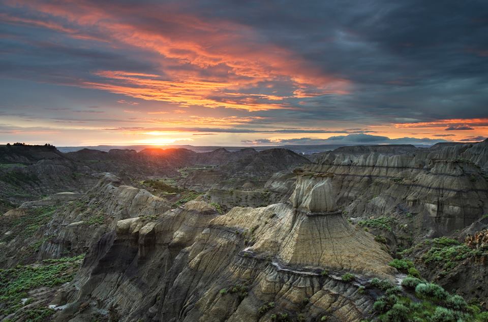
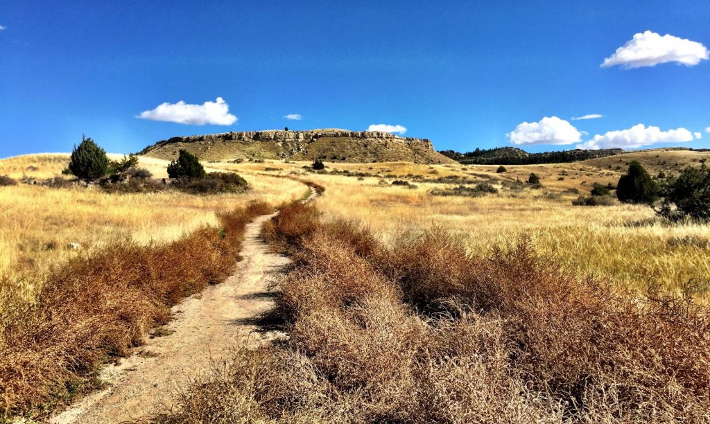
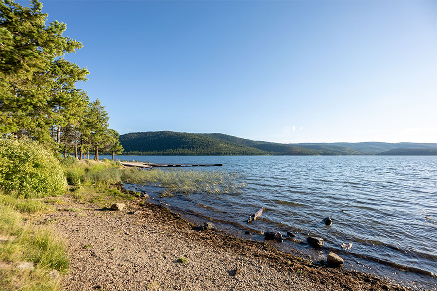
Makoshika State Park
Makoshika State Park


Looking to dig for fossils?
The park offers special events throughout the year, including Montana Shakespeare in the Park, Friday night campfire programs and youth programs in summer, and the famous Buzzard Day festival, the second Saturday in June, featuring 10k & 5k races and a fun run, Native American singers & drummers, jumping house, food, disc golf tournament, hikes and more!
Visitors are asked not to bring metal detectors, and no digging, collecting or removal of artifacts is allowed.
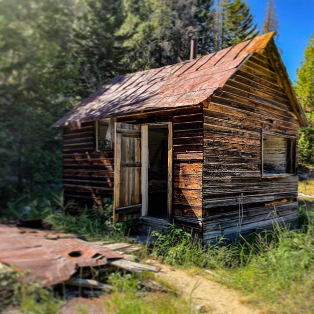
Included within the park are an archery site, scenic drives, hiking trails, 28 camping sites, a group picnic area, and an outdoor amphitheater.
The visitor center at the park entrance has interpretive exhibits that are great for kids.
")
Curious what other visitors have had to say about the park?

-
Park
Open daily 7:00 a.m. to 10:00 p.m.
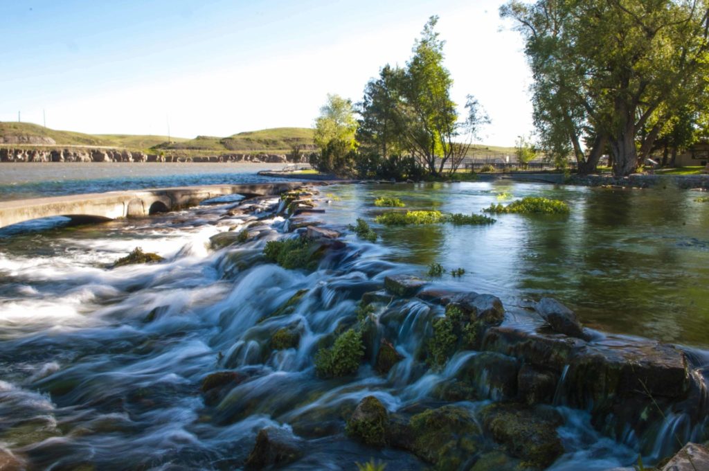
Water available year round -
Campground
Open year round
-
Visitor Center
Summer Hours
May 1 – September 30
Open daily 9:00 a.m. - 5:00 p.m.Winter Hours
October 1 - April 30
Open Wednesday - Sunday, 10:00 a.m. - 4:00 p.m.
Closed all federal and state holidays except Memorial Day, Fourth of July, and Labor Day. -
Location
1301 Snyder Avenue Glendive, MT 59330
Parks That Others Are Visiting


Makoshika State Park Read More »


")

")

")


")
")
")


")
")
")