Sightseeing

West Shore State Park 2

West Shore State Park

West Shore State Park

West Shore State Park

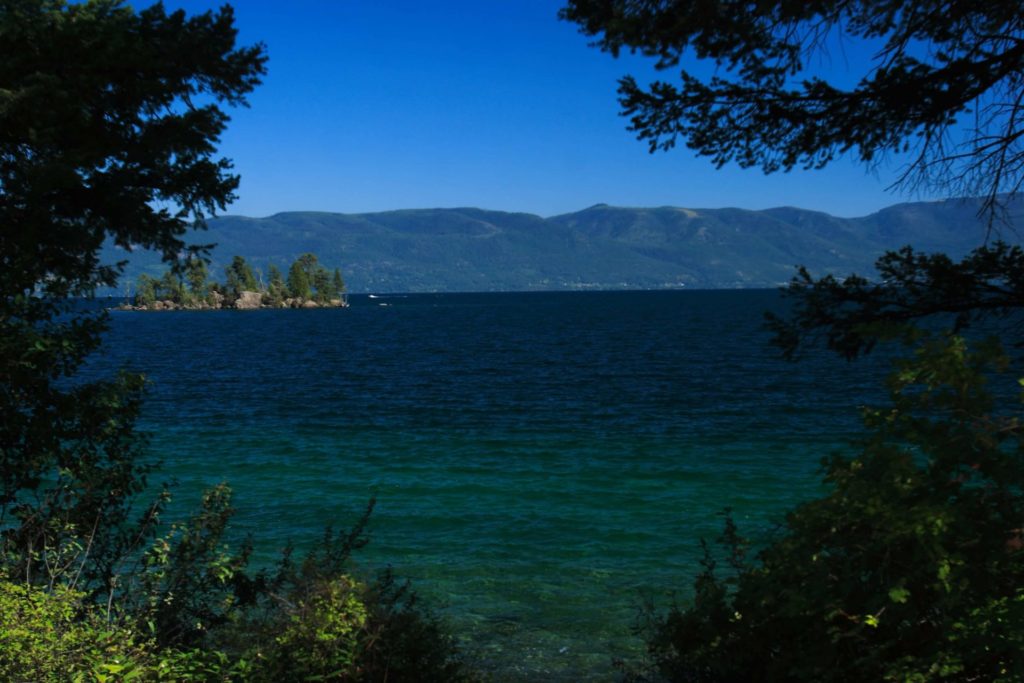
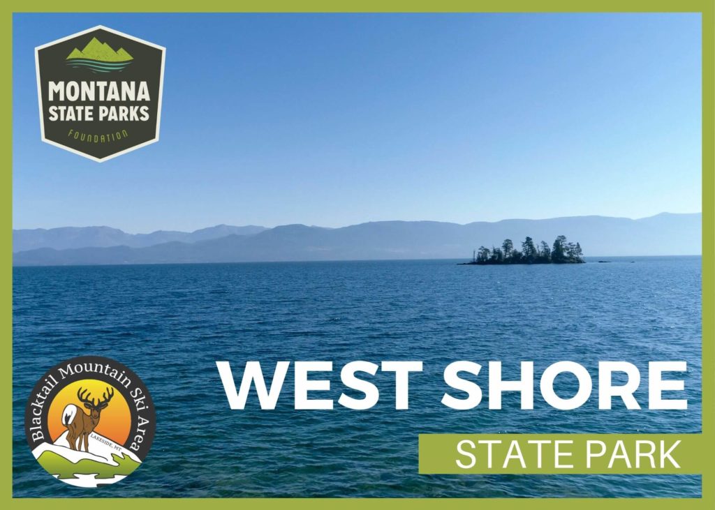
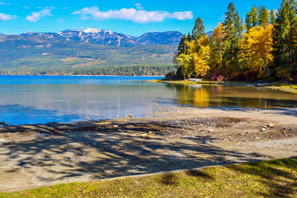
West Shore State Park is located just outside of Lakeside, MT and is open year-round!

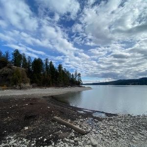
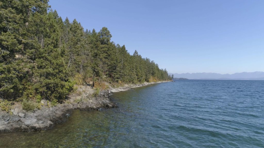
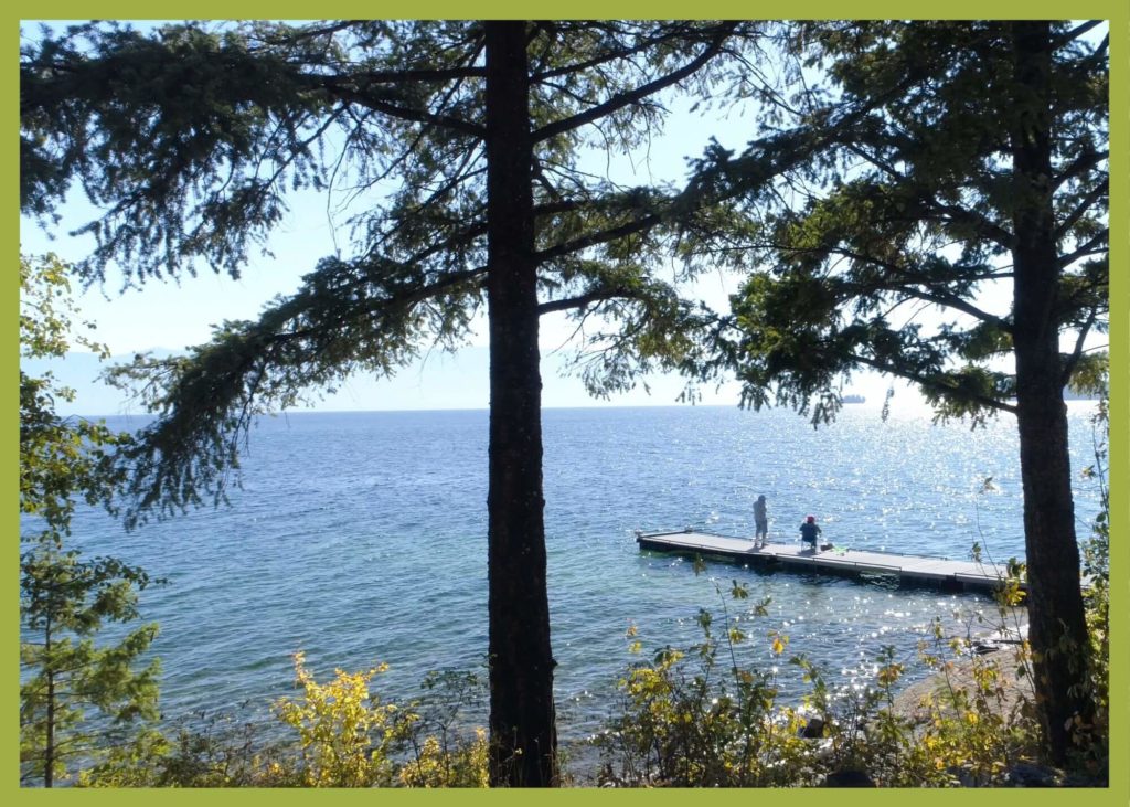
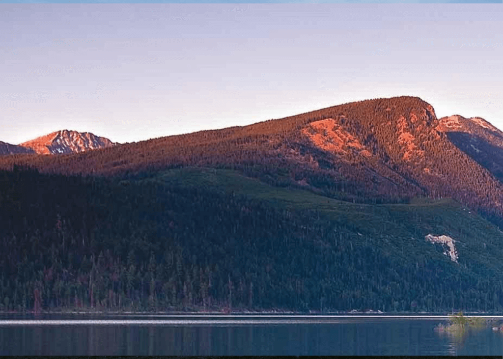
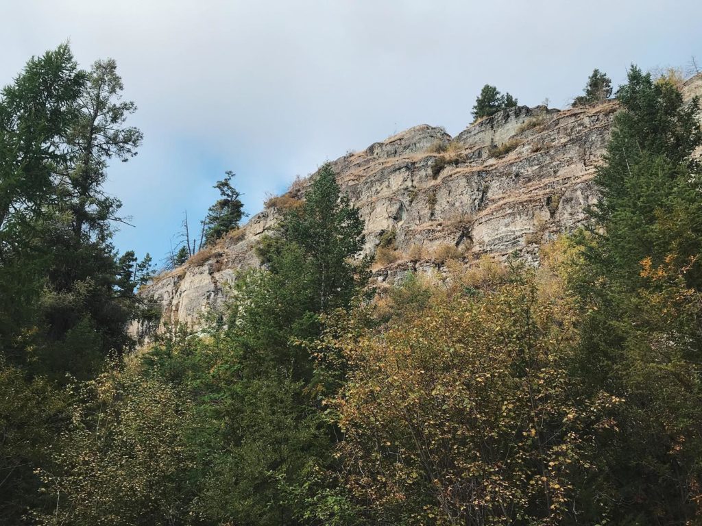
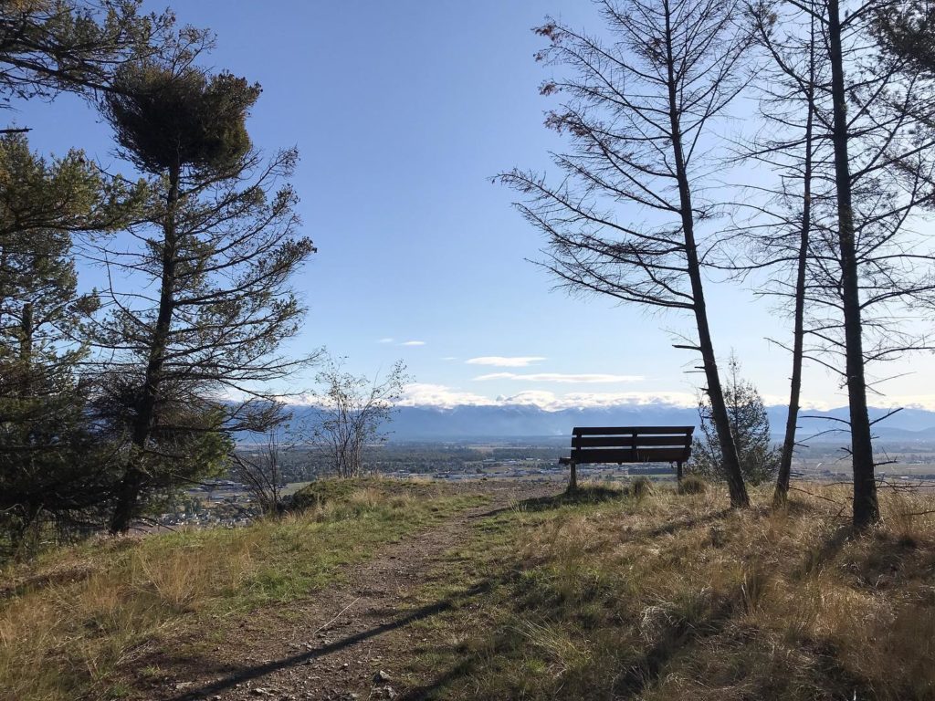
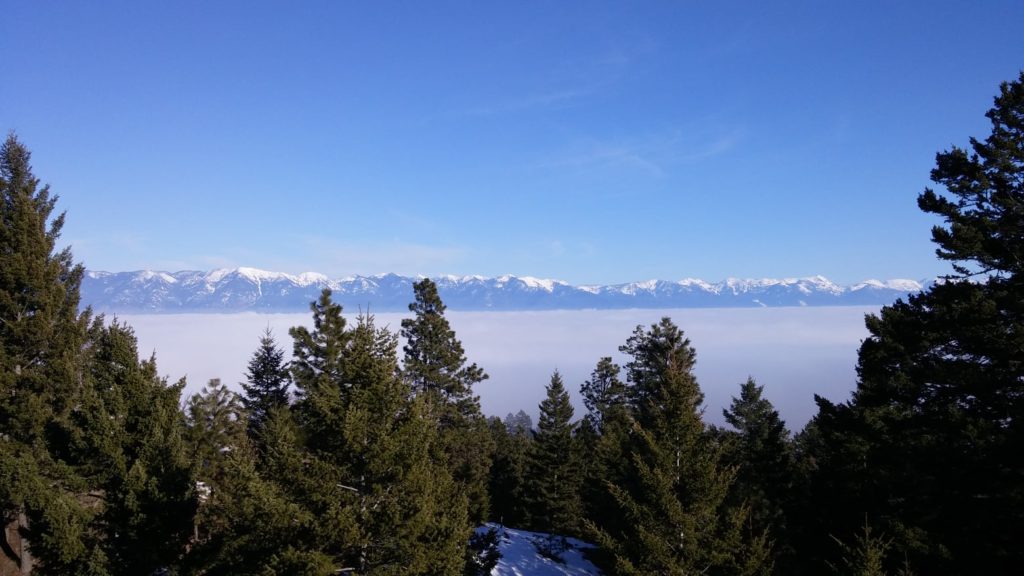
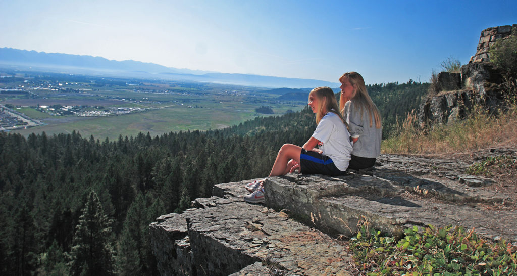
There, you will find glacially-carved rock outcrops within the park where you’ll have incredible views of Flathead Lake and the Mission and Swan Mountains Ranges.

West Shore State Park
IMG_5965

Download Campsite Map

IMG_5966

Download Park Map

Looking to hike?

All of the hiking trails at the park are single-track dirt trails that range from steep and laborious to gradual, contoured and easy-going. Pets are welcome on a leash.

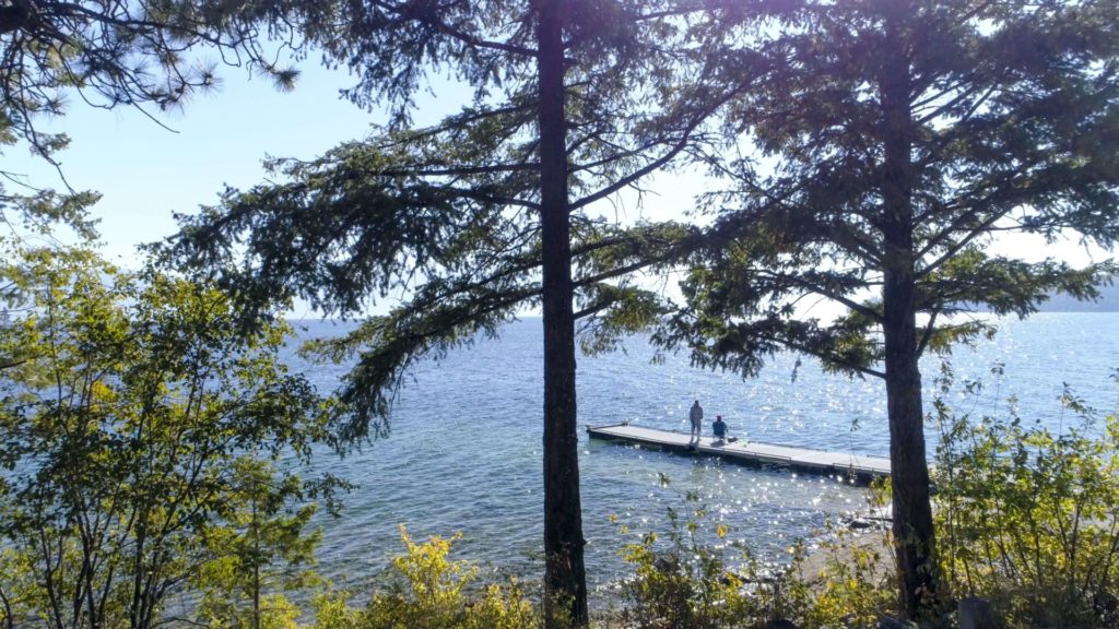
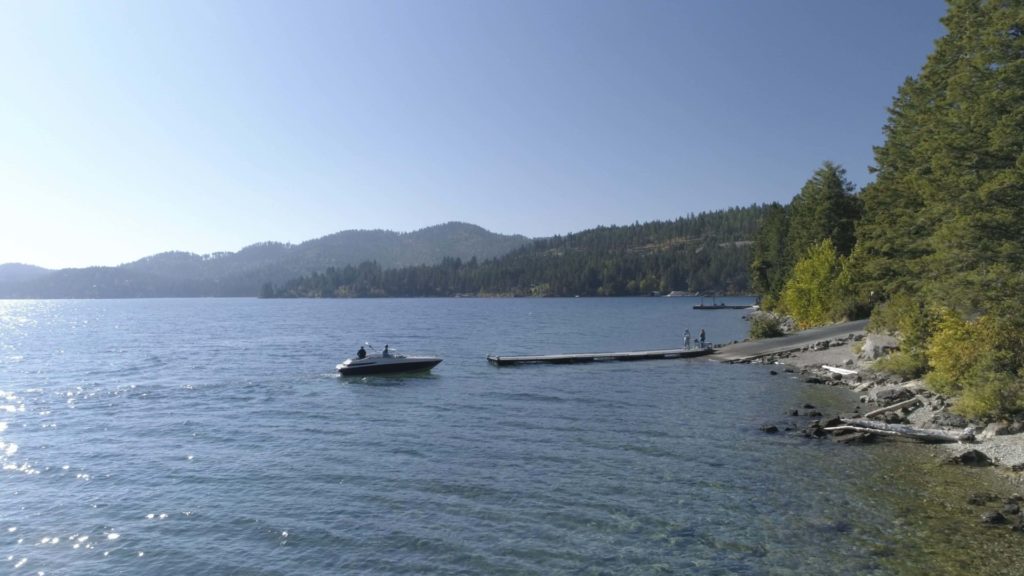
West Shore has a dock so long that boats can use it year-round (including winter!) when the lake is low. Experience the tranquil atmosphere while camping in a forest of fir, pine and larch above Flathead Lake.

There are 31 campsites available with seven being tent only. If you plan to bring your RV or trailer, make sure it’s no more than 40 feet.

  • pine icon

    Take in the unique topography of West Shore State Park on 4 miles of hiking trails along the rocky shoreline.

  • pine icon

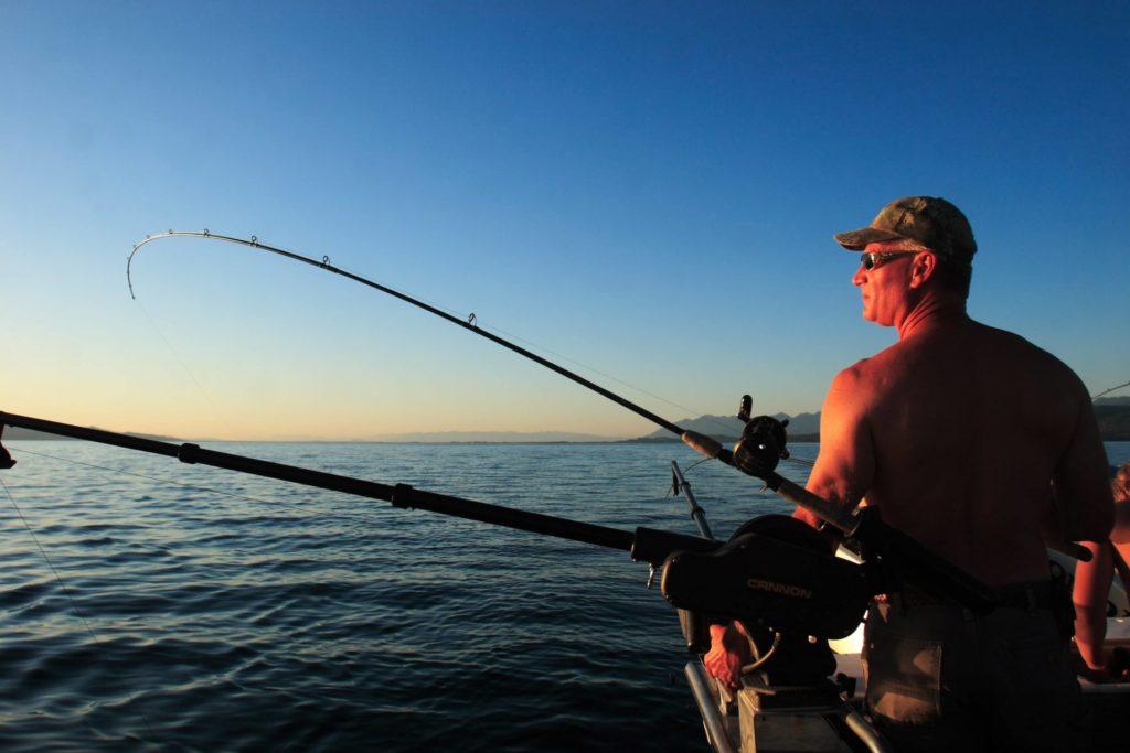
    Bring your joint state/tribal fishing license and take your shot at catching dinner from the lake!

  • pine icon

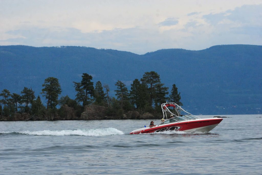
    Spend a day on the lake and rent a kayak or canoe from Sea Me Paddle in Lakeside or at the Park during the summer.

  • pine icon

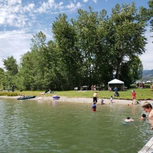
    Enjoy the beach and then cool off with a dip in chilly Flathead Lake.

  • pine icon

    Check out the local wildlife, including great birdwatching!

West Shore has a dock so long that boats can use it year-round (including winter!) when the lake is low. Experience the tranquil atmosphere while camping in a forest of fir, pine and larch above Flathead Lake.

Did You Know

Curious what other visitors have had to say about the park?

"We just stopped here to relax a bit. The park is in a nice forest with lake access. There is also a small trail inside the park which leads to a nice vista point."

"This Lake brings back so many childhood memories there is a single spot of this like that I don't love!"

"Good trails. Beautiful shore line. Camping spots look good, not too close together."

"SO pretty!!! I just want to LIVE here!"


Quick Facts
  • pine icon

    Park

    Open

  • pine icon

    Campground 

    Open

  • pine icon

    Potable water

    May through September

  • pine icon

    Dock

    For status updates please visit our Facebook page or call Flathead Lake State Park, 406-837-3041.
    For waves & wind forecast, check NOAA Graphical Flathead Lake Forecast

  • pine icon

    Location

    17768 MT Hwy 93 Lakeside, MT 59922

West Shore State Park Read More »

Travelers-Rest-state-park

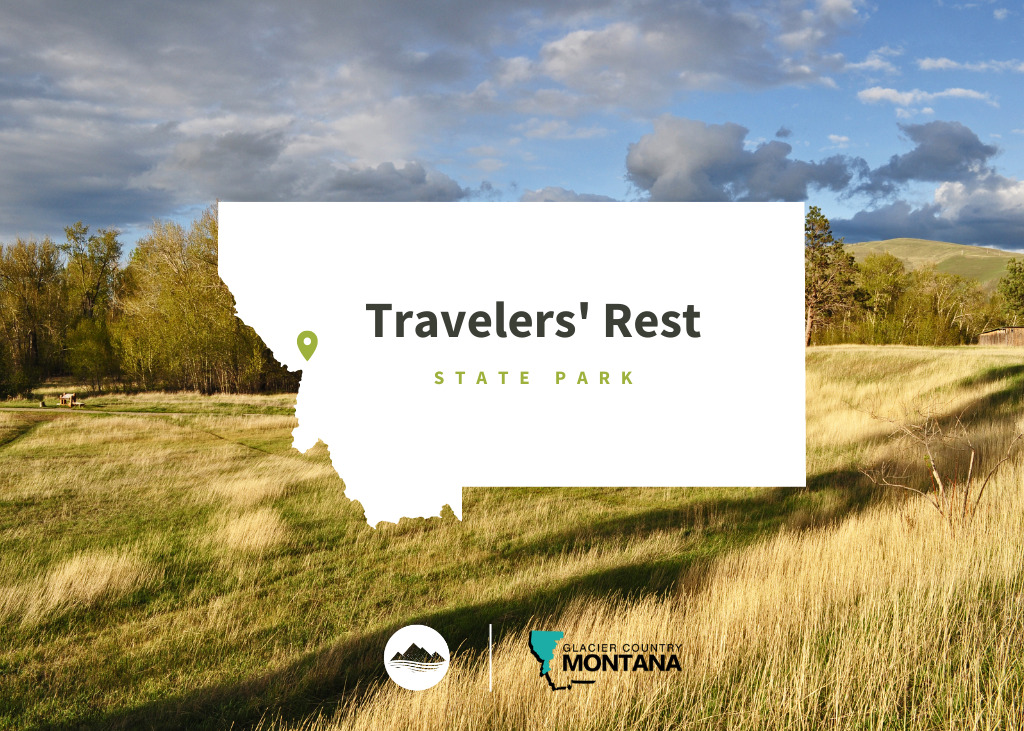
Travelers’ Rest State Park

Travelers' Rest State Park

Travelers’ Rest State Park

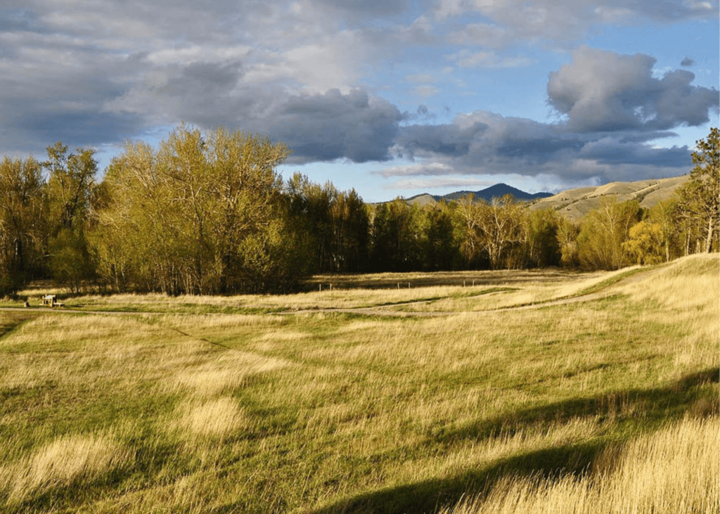
Both a state park and a National Historic Landmark, Travelers’ Rest is filled with historical significance. In 2001 the land that Travelers’ Rest State Park resides on was donated to the State of Montana.

After an archeological investigation in 2002, it was discovered that this location was used as a campsite by Lewis & Clark and the Corps of Discovery on two occasions, first from September 9-11 in 1805 and then again the year after from June 30-July 3 in 1806.

Copy of Travelers' Rest
IMG_5965

Download Campsite Map

IMG_5966

Download Park Map

Interested in the history of the park?

During the archeological investigation of the site, archeologists discovered a trench latrine tainted with mercury (a common prescription for many ailments used by the Corps of Discovery), hearths and traces of lead (used in the repair and making of firearms).

The way the camp was set up also led the archeologists to believe that this was the campsite of the Corps of Discovery. The placement of the hearths, latrines and other aspects of the camp were taken from a military manual Lewis & Clark were known to have relied on.

The trace elements in the lead found at the campsite were traced back to elements in Kentucky where Lewis & Clark would have likely gotten their lead! The items found paired with the setup of the camp allowed investigators to come to the conclusion that this was, indeed, the campsite of Lewis & Clark.

  • pine icon

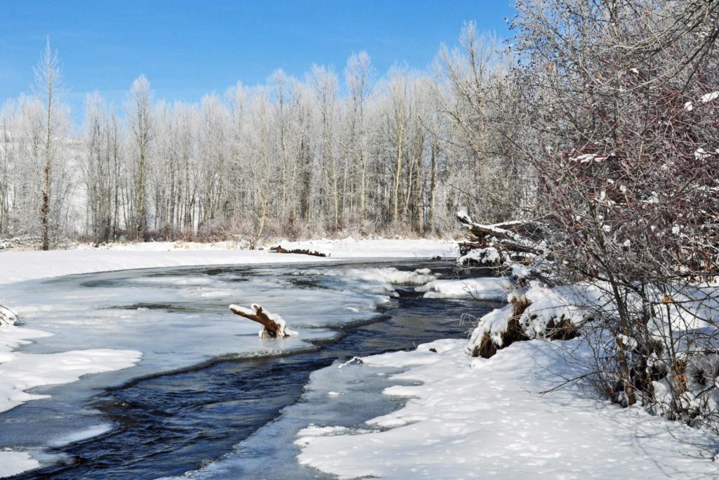
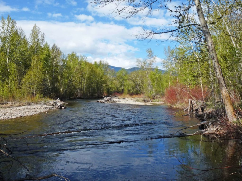
    The park may be called Travelers’ Rest, but that doesn’t mean you can’t be active! Take a hike along Lolo Creek.

  • pine icon

    Learn more about Native American culture from Native storytellers who bring their history and culture to all as part of the programming at Travelers’ Rest.

  • pine icon

    Western Montana is a great place to fish and Travelers’ Rest is no exception! Try your hand at stream or fly fishing in Lolo Creek.

  • pine icon

    History buff? Spend some time in the museum where you’ll find Lewis & Clark Expedition replicas, Salish cultural exhibits, Native American handcrafts, a frontier Main Street and much more!

  • pine icon

    Have a large group? There is a pavilion available to rent! Simply contact the park to make a reservation. Phone: 406-273-4253 Email: [email protected]

  • pine icon

    Looking to enjoy the wildlife? Go bird watching to see how many of the 115 recorded species you can find!

  • pine icon

    Plus so much more!

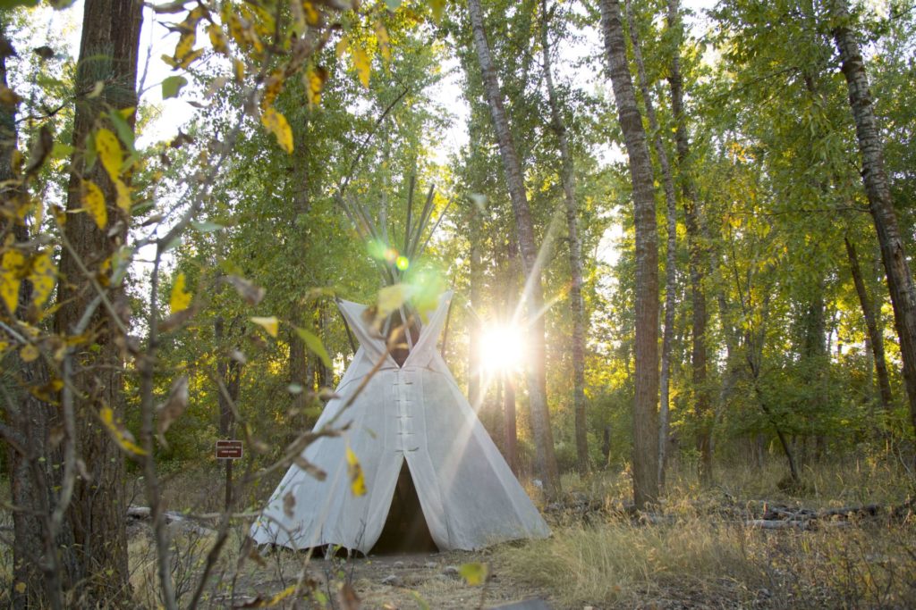
Travelers’ Rest was also used by Native American tribes in the area. The Salish, Pend d’Oreille and Nez Perce used the area as a campsite and trail junction.

Did You Know

Curious what other visitors have had to say about the park?

"Wonderful state park with great historical significance regarding Lewis and Clark journey of discovery and marvelous natural beauty. If you are near, do not miss this delightful park. Make time for the informatics museum and fun short hikes. I look forward to coming back."

"The kids were brought out here every year by their school, it was always fun and informative of the days gone by. They have Lewis and Clark artifacts that were found on-site for viewing and then some things, just from the era, both give you a nice perspective of how things used to be. The kids and I live close so it's always just a nice place to come hike around check out the creek. It's a great place also for taking photos. I've taken a lot of family photos in this area for people."

"If you're traveling through it's pretty cool place to stop and get educated on the Lewis and Clark travels."

"Great historical park of Lewis and Clark and native Indian camp. Go and walk their trails and learn about their camp. The exhibit at the travelers rest museum is excellent to see their tools, camp life, cooking, wild edibles, and friends. Our family was here for an afternoon and really enjoyed the experience. "


Quick Facts
  • pine icon

    Park

    9:00 am - 5:00 pm daily

    Closed Thanksgiving Day & December 25

  • pine icon

    Visitor Center 

    May 1 - September 30

    9:30 a.m. - 4:30 p.m.

    October 1 - April 30 

    10:00 a.m. - 4:00 p.m. Wednesday-Sunday

    Closed Thanksgiving,  Christmas Eve, Christmas & New Years Day

  • pine icon

    Location

    6717 Highway 12 W Lolo, MT 59847

Travelers’ Rest State Park Read More »

Painted Rocks State Park

Painted Rocks State Park

Painted Rocks State Park

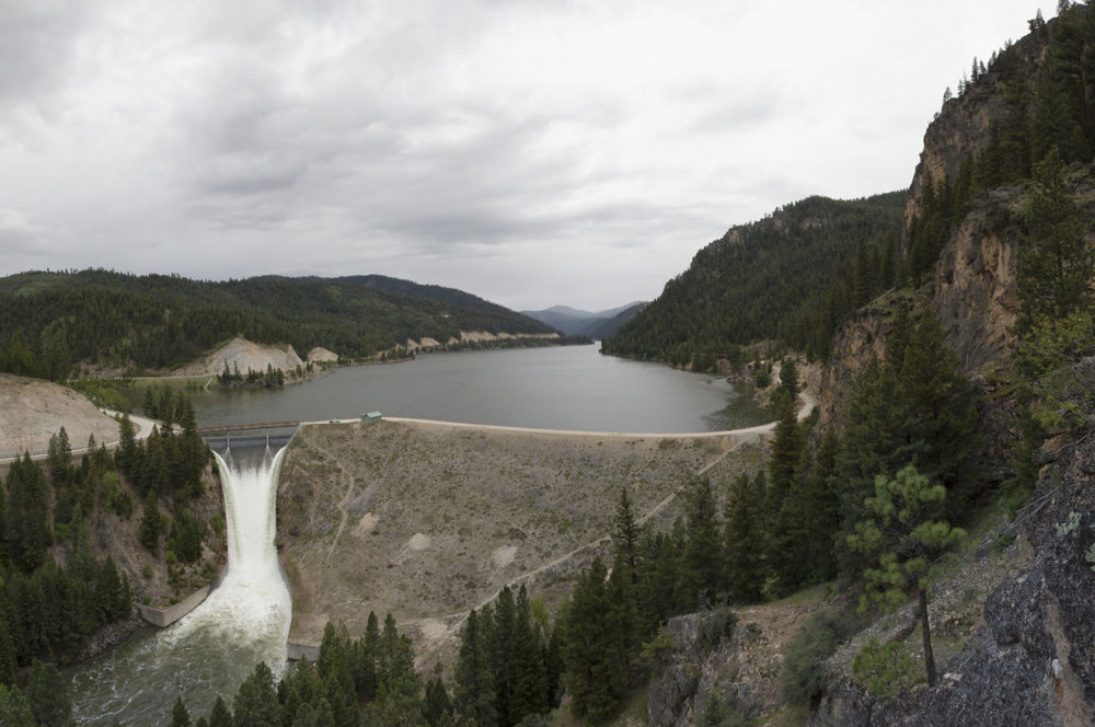
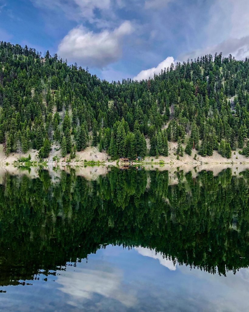
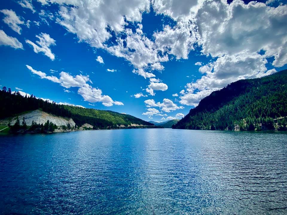
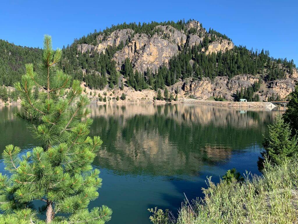
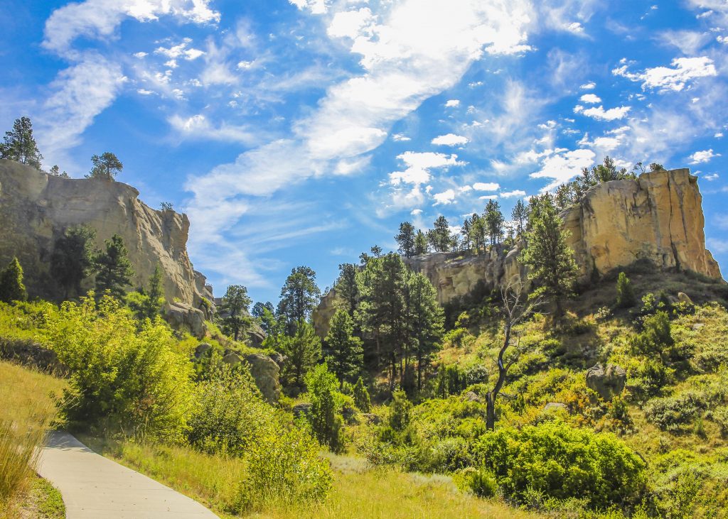
Named for the green, yellow and orange lichens that cover the grey and black walls of the granite and rhyolite cliffs, Painted Rocks State Park is located in the West Fork Valley of the Bitterroot Mountains.

We are able to bring you valuable information about this amazing state park thanks to the support of:

1
IMG_5965

Download Campsite Map

Looking to camp?

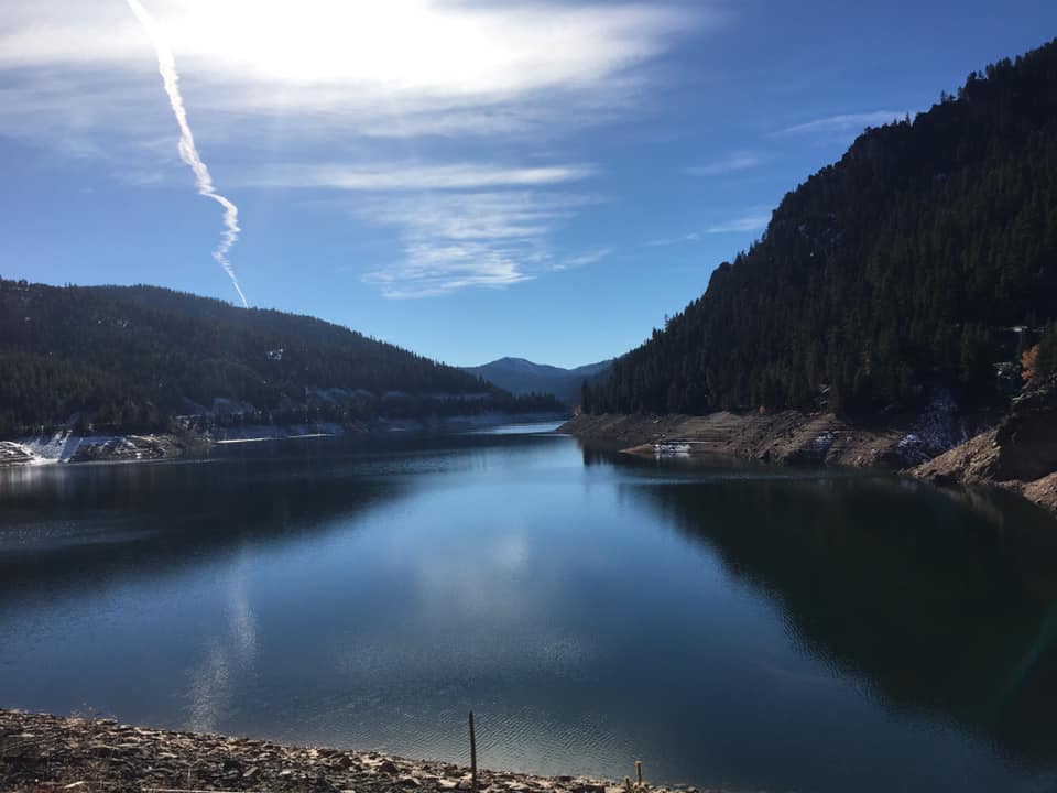
Painted Rocks State Park offers 25 campsites, a boat ramp and a boat dock. Be sure if you’re bringing your trailer or RV that it’s no longer than 25 feet!

And if you like to hike, there are many trailheads near the park that offer access to national forest land. 

Painted Rocks Dam was originally planned to be constructed for agricultural use!

The Montana Water Conservation started work on Painted Rock Dam in 1939. Today, Painted Rocks Reservoir provides water for irrigation, stock water, domestic use and in-stream flows for fish. The reservoir the dam creates is the perfect location for boating or fishing!

While in the park, keep your eyes open for the diverse populations of wildlife including elk, mule deer, white-tailed deer, black bear or moose! You may even catch a glimpse of bighorn sheep or peregrine falcons which were reintroduced to the area in the 1980s.

Are you or do you know an avid birdwatcher? If you happen to be in the area in the spring or fall, you’re in luck! Osprey, great blue heron, water ouzels, spotted sandpiper and kill-deer make pitstops in their migration patterns at Painted Rocks State Park.

Part of the homeland of the Salish people for many years, this area continues to be a place of great value to the Salish. The area did, and still does, provide great hunting and a place to gather traditional foods such as huckleberries, serviceberries, Bitterroot, trout, as well as other fish and mountain tea. 

Did You Know

Curious what other visitors have had to say about the park?

"It was beautiful! I've been here many times but this is the first time I kayaked it. Absolutely smooth as glass on the most perfect sunshiny day."

"Beautiful, peaceful, wonderful place to spend time with the family."

"What is not to love. So worth the drive."

"Lovely scenery, very peaceful. Saw my first big horn sheep in the wild here. It was amazing"


Quick Facts
  • pine icon

    Park

    Open Year-Round

    Dawn to Dusk

  • pine icon

    Location

    8809 West Fork Road Darby, MT 59829

Painted Rocks State Park Read More »

Makoshika

Makoshika State Park

Makoshika State Park

Makoshika State Park

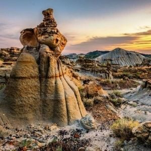
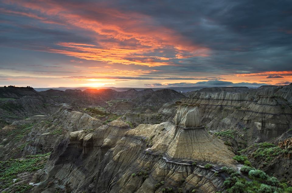
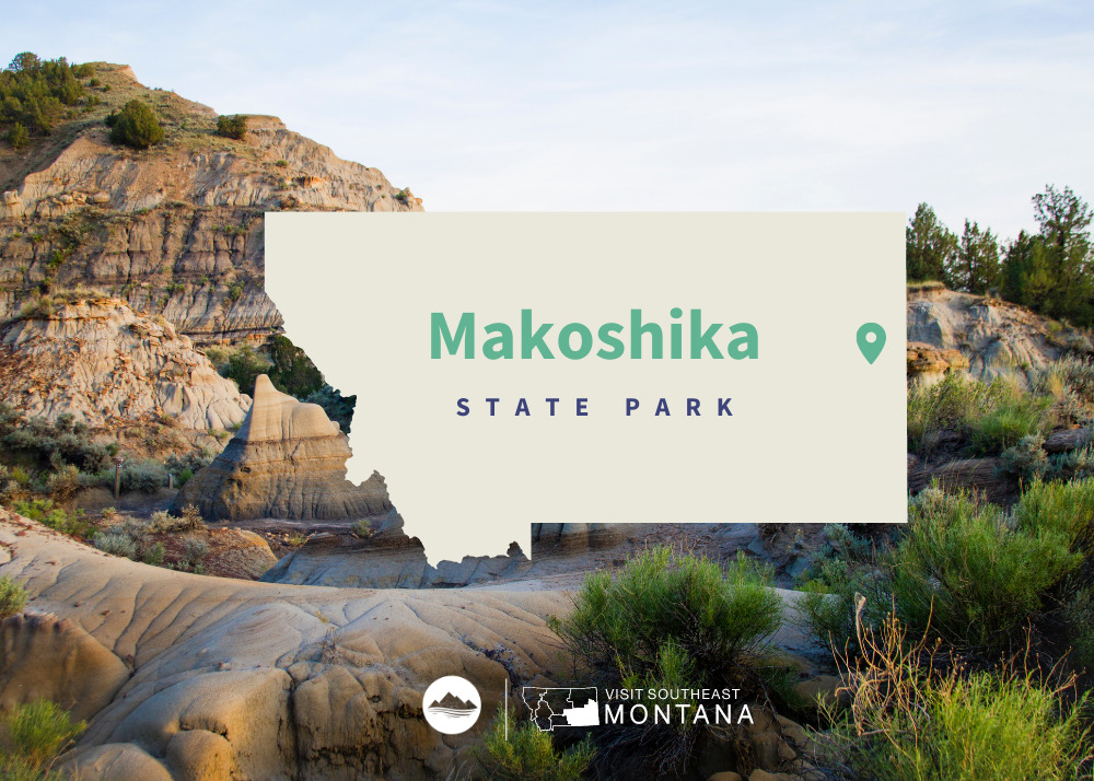
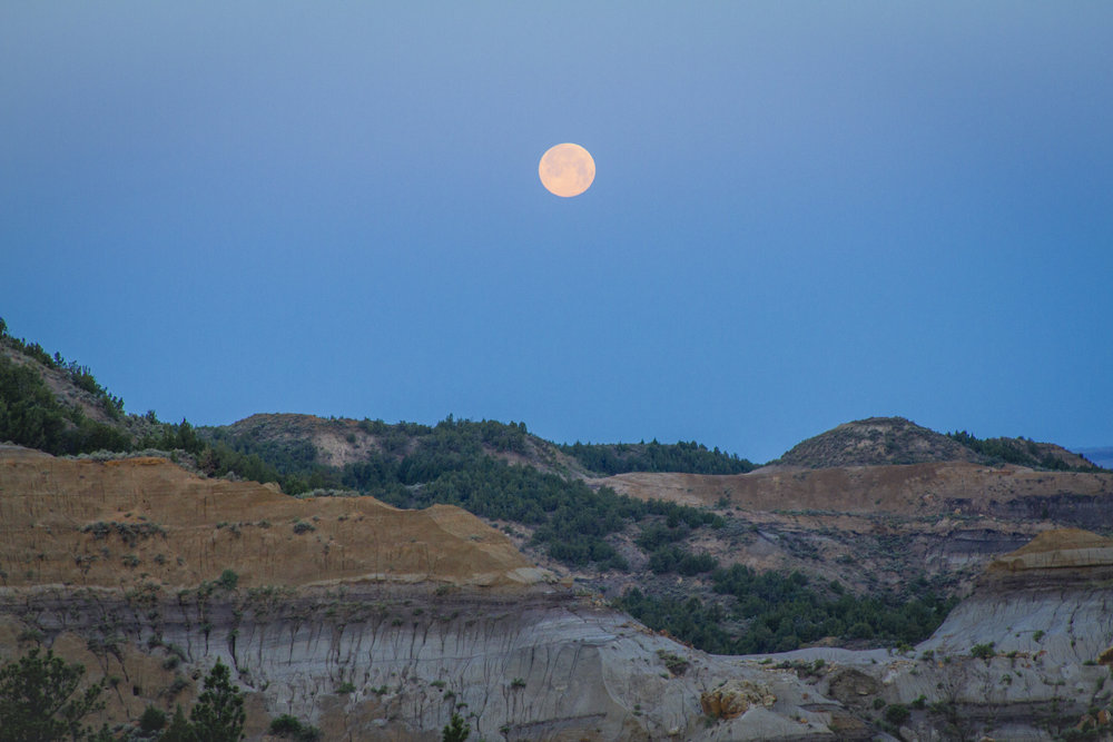
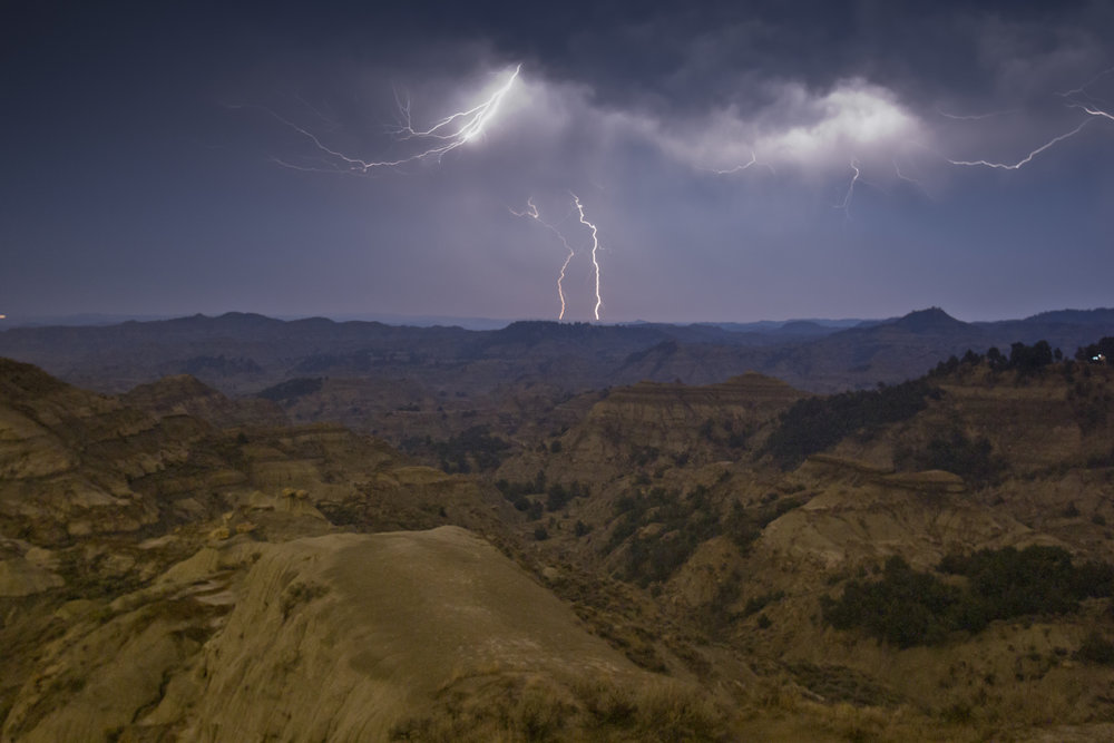
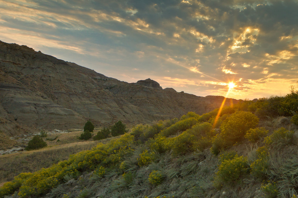
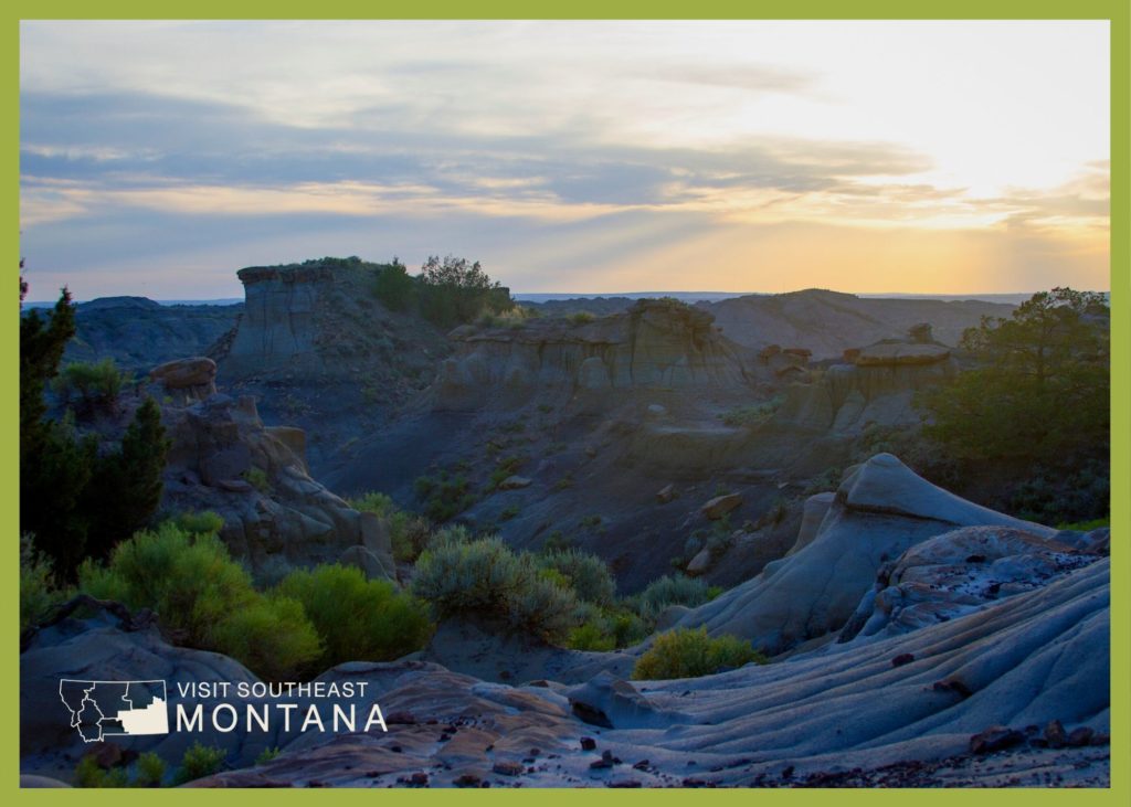
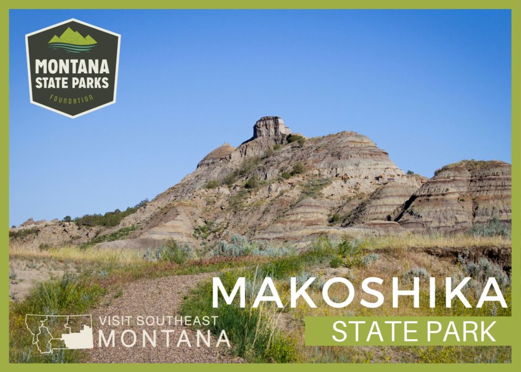
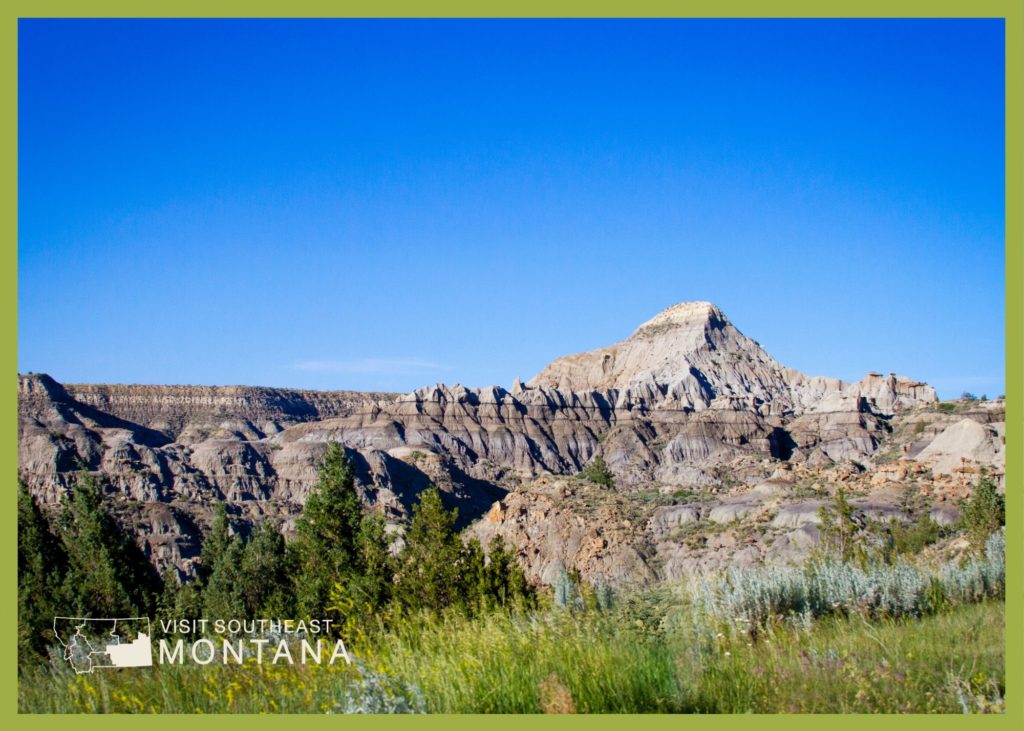
Makoshika State Park features spectacular badland formations and the remains of the infamous Tyrannosaurus Rex, as well as other amazing dino fossils.

We are able to bring you valuable information about this amazing state park thanks to the support of:

Visit Southeast Montana
Makoshika State Park
IMG_5965

Download Campsite Map

IMG_5966

Download Park Map

Looking to dig for fossils?

The park offers special events throughout the year, including Montana Shakespeare in the Park, Friday night campfire programs and youth programs in summer, and the famous Buzzard Day festival, the second Saturday in June, featuring 10k & 5k races and a fun run, Native American singers & drummers, jumping house, food, disc golf tournament, hikes and more!

Visitors are asked not to bring metal detectors, and no digging, collecting or removal of artifacts is allowed.

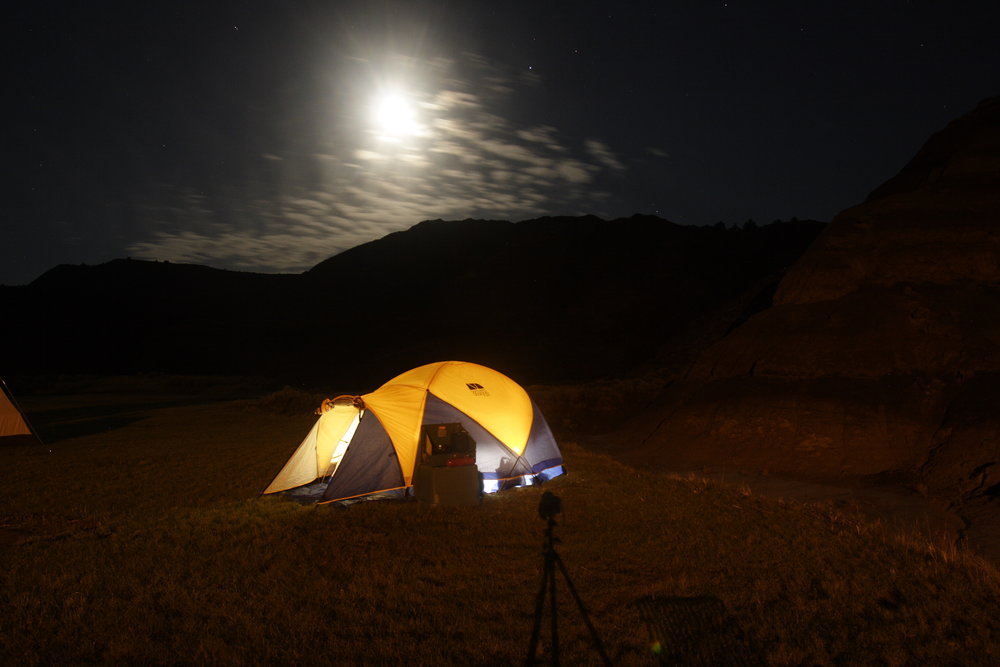
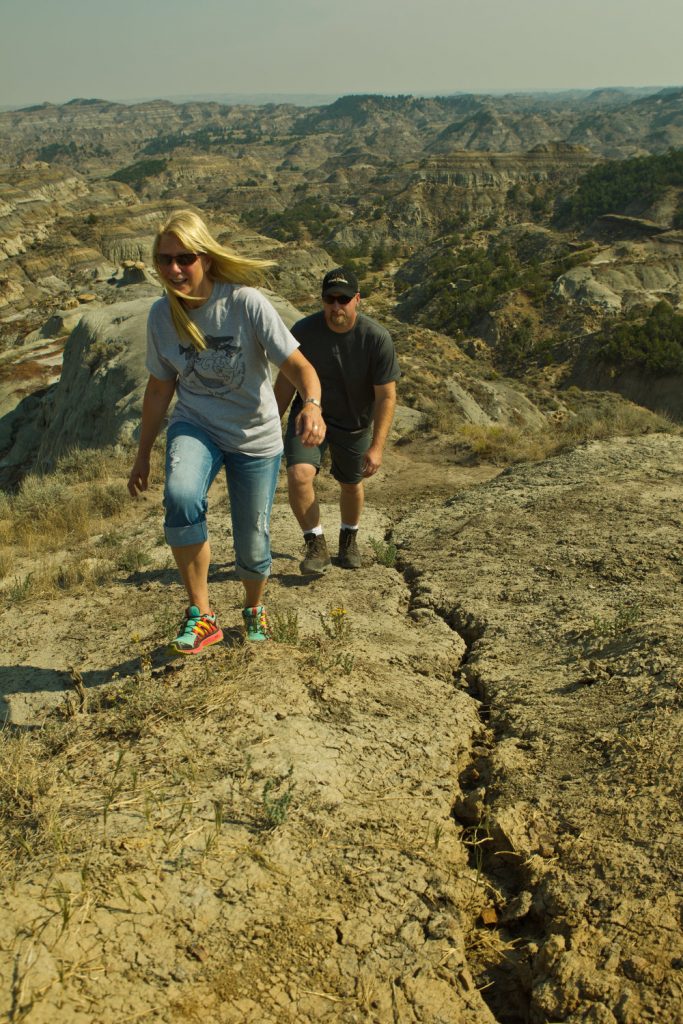
Included within the park are an archery site, scenic drives, hiking trails, 28 camping sites, a group picnic area, and an outdoor amphitheater.

The visitor center at the park entrance has interpretive exhibits that are great for kids.

Did You Know

Curious what other visitors have had to say about the park?

"Really cool rock features. Very easy hikes to see amazing views."

"Never a disappointment. I LOVE Makoshika park. I always stop by to visit the ranger's in the gift shop. They are all so very welcoming."

"The scenic overlooks are awesome. Some of the trails are slightly treacherous. Bring water on your walks. The staff are friendly and helpful. The visitor center has some very cool displays of the archeological finds from the area."

"We loved this park. Great views and hiking- decent privacy for spots even though there aren’t really trees to separate the sites. Lots of things to do nearby since it’s so close to town! Wish we had time to take a longer visit and hike more of the trails! Watch out for cacti!"


Quick Facts
  • pine icon

    Park

    Open daily 7:00 a.m. to 10:00 p.m.
    Water available year round

  • pine icon

    Campground 

    Open year round

  • pine icon

    Visitor Center

    Summer Hours

    May 1 – September 30
    Open daily 9:00 a.m. - 5:00 p.m.

    Winter Hours

    October 1 - April 30
    Open Wednesday - Sunday, 10:00 a.m. - 4:00 p.m.
    Closed all federal and state holidays except Memorial Day, Fourth of July, and Labor Day.

  • pine icon

    Location

    1301 Snyder Avenue Glendive, MT 59330

Makoshika State Park Read More »

Lone Pine State Park 1

Lone Pine State Park

Lone Pine State Park

Lone Pine State Park

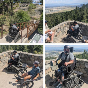
Located just outside of the city of Kalispell to the southwest, Lone Pine State Park is home to 7.5 miles of trails for hiking, biking, snowshoeing, and horseback riding.

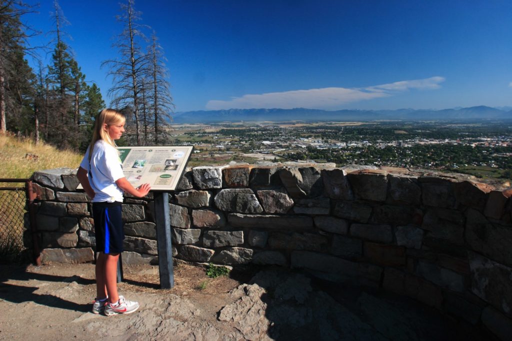
The park also features breathtaking scenic overlooks, where you can see Flathead Lake, Big Mountain Resort, Jewel Basin, and Glacier National Park on clear days. 

Lonepine is the second oldest State Park in Montana, dating back to February of 1941.

We are able to bring you valuable information about this amazing state park thanks to the support of:

Lone Pine State Park
IMG_5966

Download Park Map

Looking to camp?

The recently remodeled visitor center has a gift shop and provides visitors with highlights of the wildlife and forest ecology of the park.

A great spot for meetings or social gatherings (can host up to 100 people), the visitor center has a spacious meeting room with audio/visual capabilities and wrap around decks!

7.5 miles of trails can accommodate for short or long hikes where you’ll find great views of wildflowers in the spring and summer and local wildlife throughout the year. 

Activities

Snowshoe rentals are available for $5 per person or $10 per family during the winter months.

With adult workshops, children's activities and interpretive programs throughout the year, Lone Pine State Park is an ideal stop for field trips, out of state visitors or Montana residents interested in learning more about northwestern Montana.

Lone Pine State Park provides incredible views of the Flathead Valley, as well as year-round and wide-ranging outdoor recreation activities.
Originally owned as part of a large sheep ranch by Ernest and Hazel White, in 1941 the White’s donated the land that now makes up Lone Pine State Park, for public use and education.

The Whites stipulated that the land be developed for public use and to teach an appreciation for the benefits of conservation. Lone Pine hosts extensive educational and recreation opportunities throughout the year? From interactive talks about birds of prey, backcountry horse, and mule packing, to a bat box building workshop, Lone Pine has an event to interest everyone. 

Did You Know

Curious what other visitors have had to say about the park?

"This a great little recreation spot. There's hiking, multiple viewing spots, a visitor center, picnic and volleyball area. Additionally one the coolest things they got there is an archery range/course. As a bow hunter I go there often!"

"Great for either short or longer hikes. Very friendly staff. Great views."

"It's very breath taking!! Enjoy the little hike I take with my brother every time I come to Montana!!"

"A great place to go for short or long hikes. Amazing views over the valley. The level of difficulty is very low on most trails, and they are all connected and easy to navigate with clearly marked signs. Will most definitely be returning for more hiking adventures with the kiddos."


Quick Facts
  • pine icon

    Park

    Open all year
    Sunrise to sunset

  • pine icon

    Visitor Center

    Opens June 6, 2020
    Wednesday through Saturday 10am – 5pm.
    Sunday 12:30pm to 5pm.
    Closed Monday & Tuesday.
    Closed November 26, 27, December 24, 25, 31, January 1

  • pine icon

    Archery Trail

    Open for the 2020 season.

  • pine icon

    Location

    300 Lone Pine Rd. Kalispell, MT 59901

Lone Pine State Park Read More »

First Peoples Buffalo Jump State Park

First Peoples Buffalo Jump State Park

First Peoples Buffalo Jump State Park

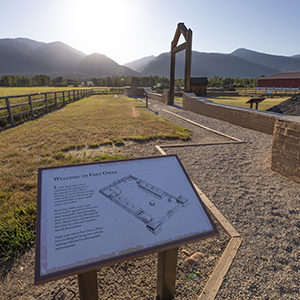
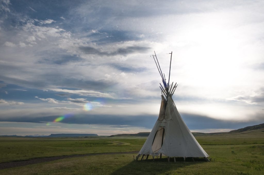
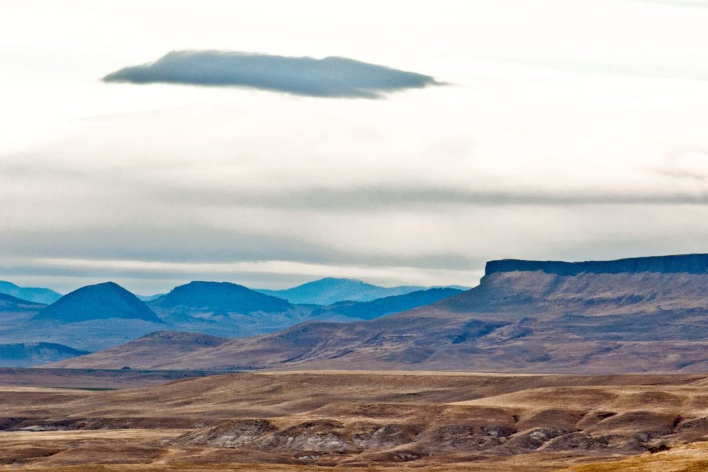
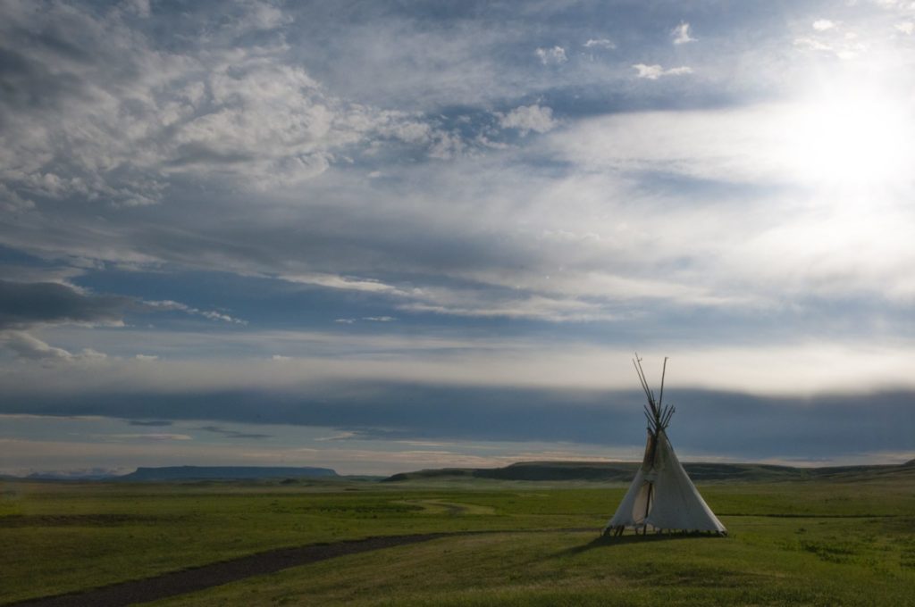
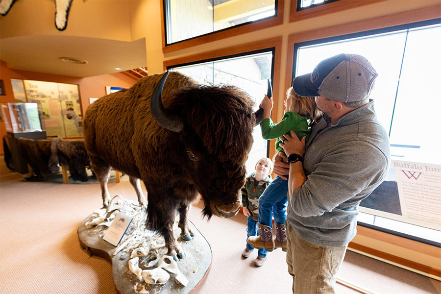
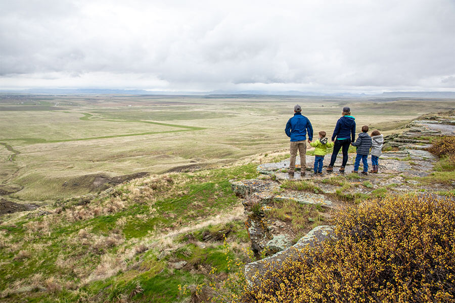
Located South of Great Falls and just outside of Ulm, First Peoples Buffalo Jump is one of the largest buffalo jumps in the United States and is known in the archeology community as the most significant buffalo jump in the world! Evidence suggests that this site, also known as the Ulm Pishkin, may have been the most frequently used buffalo jump in the world.

First Peoples Buffalo Jump State Park
IMG_5966

Download Park Map

Park history

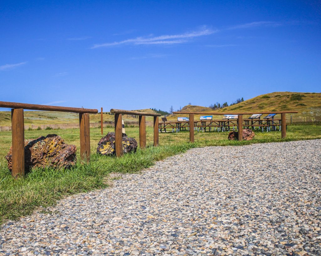
A 6,000 square foot Visitor Center helps to pay homage to both the buffalo and the Native American’s who honor it. Inside you’ll find buffalo culture exhibits, a circle for storytelling, a classroom, a gallery, and a bookstore!

Outside the Visitor Center are an outdoor amphitheater and even a few traditional games playing fields. The cliffsides now offer up amazing views to visitors from all over the world.

At the base of the cliff, you can see 18 feet of compact buffalo remains, but it can be difficult to make out distinct items like skulls or other bones after so many years. The original name of the park “Ulm Pishkin” comes from the Blackfeet word "Pis'kun," meaning "deep kettle of blood”. The mile-long cliff ranges from 30 to 50 feet in height, any higher and meat may have been damaged and unusable. Of the over 300 buffalo kill sites in Montana, First Peoples Buffalo Jump is one of only three that are protected.

Native tribes would stampede herds of bison off the cliff and collect the remains below. Bison meat served as a main staple in the early Native American diets of the region. While this form of hunting was very popular and safe compared to the alternatives it was not the most common.

Ambush killing, where the hunters would sneak up to the animal before attacking, was the most frequent way for them to provide food, tools, and clothing to their families. It was very dangerous due to the size and strength of the animal. Because of this many of these sites are considered sacred. Ambush hunting became less and less utilized as the horse came onto the scene, allowing hunters to keep pace with the bison and guide them more effectively to sites like this and eventually as they began breeding horses even the buffalo jump became obsolete. Giving way to mounted hunters who could chase, kill, and carry back the precious remains.

The most accepted theory as to the use of “Buffalo Jumps” has the hunters slowly encircling the herds and pushing them towards the area. It could take hours if not days and was very dangerous.

As the herds would draw closer and closer to the cliffs they would be guided to a specific spot by others using low fences made of twisted vines and large rocks. These “Drive Lines” can still be found today. They sometimes extended over a quarter of a mile away.

Once the Buffalo had reached their holding spot the hunters would approach, sometimes wearing wolf pelts and sneaking on all fours, and when the time was right they would jump up shouting and making loud noises creating a stampede.

The fastest and bravest of the hunters, called “Buffalo-Runners” would dance in front of the herds leading them over the cliff. Often jumping to a safe spot just below the ledge.

After the herd had gone over or dispersed the women, children, and elders would move through the aftermath killing any that may have survived and then processing and harvesting as much of the animal as possible.

Plan to spend at least two hours at First Peoples Buffalo Jump to make time for the many activities!

*Notice!: Due to recent world-wide events Visitors Centers, Regional Offices, Ranger Stations, Campgrounds, and other facilities including many restrooms are now closed to the public. MT FWP is monitoring the situation and making changes to their policy on a rolling two week basis.

Years after the area was settled it became a cattle ranch and eventually mining area. Eventually, in the 1950s the bone itself began to be mined before a local rancher named Earl Monroe leased the land to protect it from further destruction.

Earl kept the land off-limits to the public while under his care. The land went through many hands and many legal battles over the years before finally coming under the protection of the state in the late ‘90s and becoming a full-fledged state park in the year 2000.


Did You Know

Curious what other visitors have had to say about the park?

"The museum itself was extremely neat and clean. It's a small establishment that you can tour yourself - which I LOVED! The 2 guides were helpful and answered any questions that we had regarding the jump. I would absolutely suggest this place to anyone visiting the Great Falls area."

"What a piece of history we knew nothing about. Fascinating and then taking the drive to the cliffs I couldn't imagine running ahead of a herd of buffalo and at the last minute jumping over the edge to safety. This park is definitely worth a visit. Make the time."

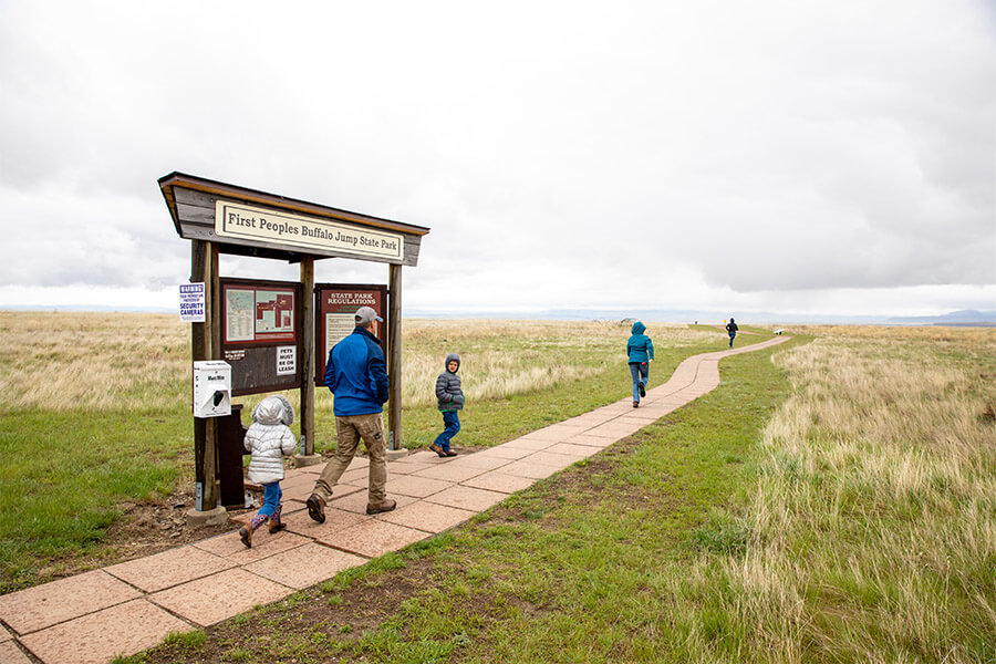
"Great history and amazing views of the valley. A great 1 mile hike up to the buffalo jump cliff, or take the road around the other side of you don't want to hike it. Restroom is available in the visitors building and near the cliff."

"What a great place to see. It is so peaceful and tranquil. I enjoyed it so very much."


Quick Facts
  • pine icon

    Park

    Summer - open daily.
    Winter - open Wednesday through Sunday.

  • pine icon

    Summer Hours 

    April 12 - September 12: open 8 am - 6 pm daily.

  • pine icon

    Winter Hours

    Sept. 14 to March 31:
    10 am - 4 pm Wed - Sat and 12 pm - 4 pm Sun.
    Closed Monday and Tuesday.
    The gates at the top of the Jump may be closed during times of deep snow.

  • pine icon

    Location

    342 Ulm -Vaughn Rd. Ulm, MT 59485

First Peoples Buffalo Jump State Park Read More »

Cooney State Park

Cooney State Park

Cooney State Park

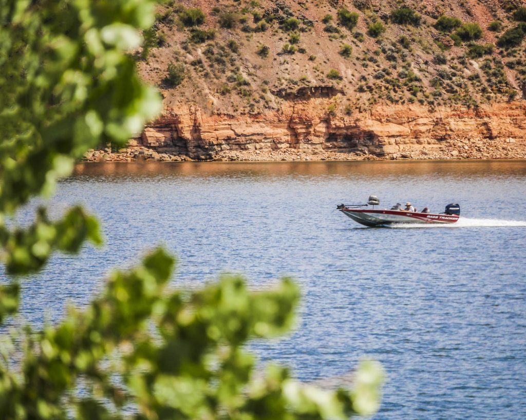
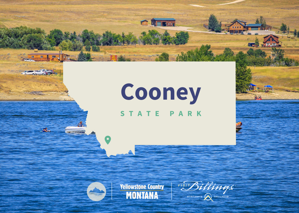
Head to Cooney State Park, a reservoir 40 minutes south of Billings, to go boating, play in the water, camp, and fish. This is the most popular recreation area serving south-central Montana, and it's always a busy place in the summer!

We are able to bring you valuable information about this amazing state park thanks to the support of:

Visit Billings
Yellowstone Country Logo
Cooney State Park
IMG_5965

Download Campsite Map

IMG_5966

Download Park Map

Looking to fish?

Cooney has been a state park since October of 1970, and new visitor amenities have been added slowly over time. The 97 ft tall earthen dam on Red Lodge Creek that forms the reservoir was constructed in 1937 as part of a larger irrigation project for nearby farmers and ranchers.

Not only does the park have a gorgeous reservoir, but it has great views of the Beartooth Mountain Range in the background.

Regardless of the season, you’ll find excellent fishing for walleye and rainbow trout. And don’t forget, the Red Lodge Arm has a fish cleaning station!

Planning to bring your boat along? You shouldn’t have any issues finding a place to drop in with three boat docks and ramps surrounding the lake!

During the winter, some people enjoy kite-skiing across the lake! 

Camping is plentiful at Cooney State Park, with five campgrounds and 82 campsites, 19 of which have electricity! While the electricity in the campgrounds is on year-round, be aware the water is shut off during the winter months. 

There are also three day-use group areas available around the lake. 

Did You Know

Curious what other visitors have had to say about the park?

"Moon coming out on a beautiful night on Cooney, fireworks northeast, south Red Lodge mountain still snow on the runs, people laughing in the distance having fun, winds died so this sailboat not going anywhere, on the hook south of Red lodge camping area wow it really doesn't get any better than this!"

"Park Ranger and the camp host were both really great with answering all our questions and giving directions to camp and nearest local convenience store! The campground is clean and beautiful, right on the lake, but not much shade so come prepared!"

"Every day of fishing is a good day. Mostly with scenery like this."

"It's an awesome place! Boat ramps, fishing, boating swimming, fires and camping! And you can rent kayaks and paddle boards."


"Just a little piece of heaven."

Quick Facts
  • pine icon

    Park

    Open Year-Round

  • pine icon

    Electricity

    Available

  • pine icon

    Drinking Water

    Available May 15 - September 27.

  • pine icon

    Comfort Stations & Showers

    Flush toilets available May 15 - September 27.

    Metered showers available to all registered campers in Marshall Cove Campground.  Requires 8 quarters for each shower.

  • pine icon

    Docks

    Available May 1 - November 1, weather dependent

  • pine icon

    Location

    86 Lake Shore Road

    Roberts, MT 59070

Cooney State Park Read More »

Clark's Lookout State Park 4

Clark’s Lookout State Park

Clark's Lookout State Park

Clark’s Lookout State Park

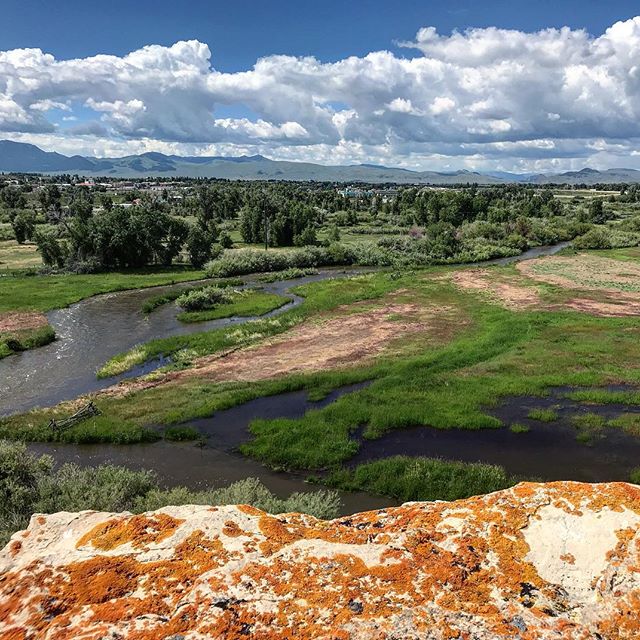
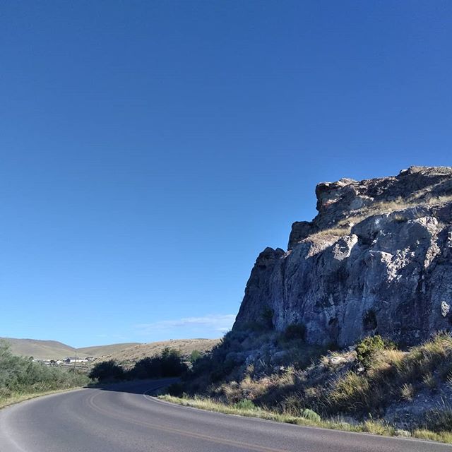
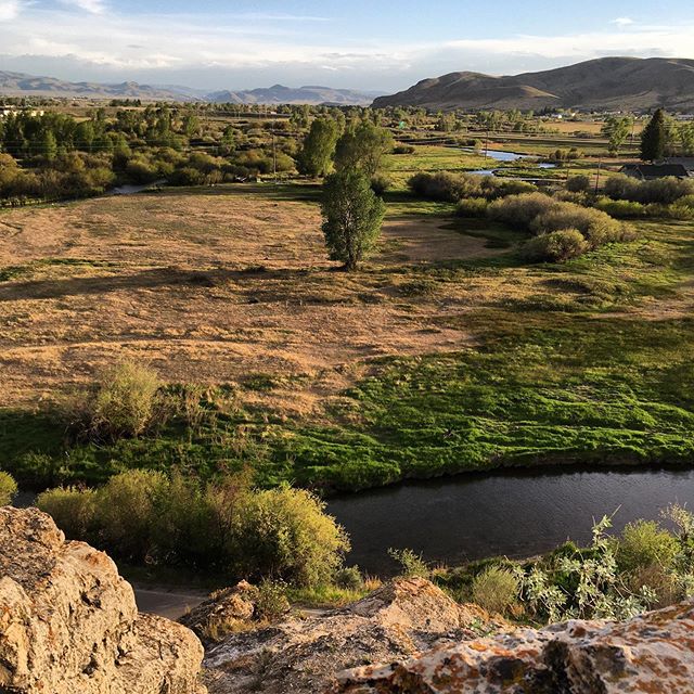
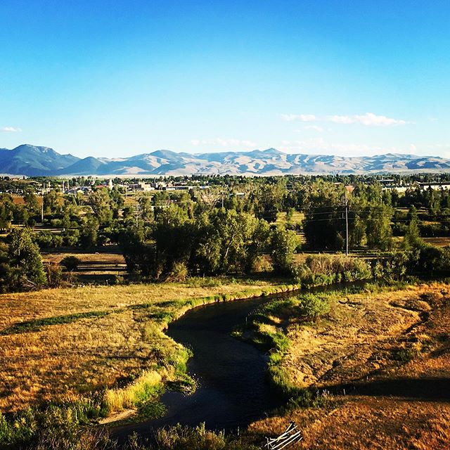
Clark's Lookout State Park is located one mile north of Dillon, above the Beaverhead River.

Established December 23, 1985, Clark's Lookout is set along the historic Lewis and Clark trail.

Clark's Lookout State Park
IMG_5966

Download Park Map

Looking to camp?

On August 13, 1805, Lewis & Clark and the Corps of Discovery found what is now Clark’s Lookout State Park. Having traveled from the headwaters of the Missouri River and up the Jefferson River to continue their search for a passage to the Pacific Ocean, they found an incredible view instead.

The view from the top of the hill provided Lewis & Clark and the Corps of Discovery with a view of what lay ahead. And William Clark worked to explore and document the hill overlooking the Beaverhead River.

  • Take a walk to the monument and gaze out over the land once surveyed by William Clark.
  • Have a picnic at the perfectly located picnic area.
  • Take a hike through the rest of the 7.23 acres via hiking trails with interpretive signs.
  • Cultural and Heritage information is provided on-site.
  • Check out all of the local wildlife, including bird watching.
  • Photographic opportunities abound.
  • Plus so many more!

Interpretive signs help to explain the navigational methods used by the Corps of Discovery.

A short hike to the top of the lookout provides an incredible view of the Beaverhead Valley.

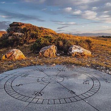
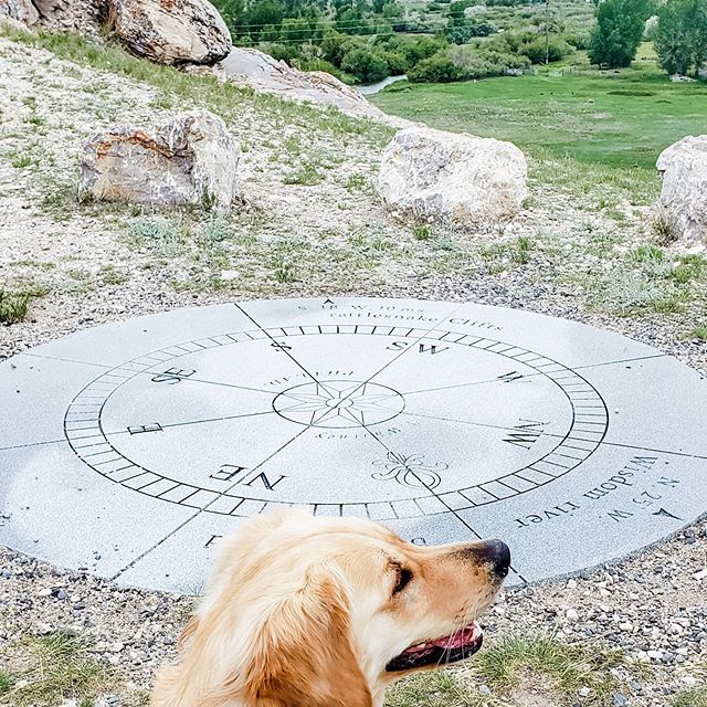
You’ll also find a granite monument shaped like a compass which displays the three compass readings Clark took in 1805! The compass monument’s design came from a small pocket compass Clark carried during the expedition!

Did You Know

Curious what other visitors have had to say about the park?

"Fun! I love history. Didn't know this was there until we drove by."

"Great place to stop for a walk and see a historic sight."

"Picturesque views."

"Nice place to stop for a short walk up a path to some beautiful views."


Quick Facts
  • pine icon

    Park

    Open:  May 1 - September 30

    Hours:  8:00 a.m. - Sunset

  • pine icon

    Location

    25 Clark’s Lookout Road
    Dillon, MT 59725 Park

Parks That Others Are Visiting

Clark’s Lookout State Park Read More »

Skip to content