


Tongue River Reservoir State Park
Tongue River Reservoir State Park

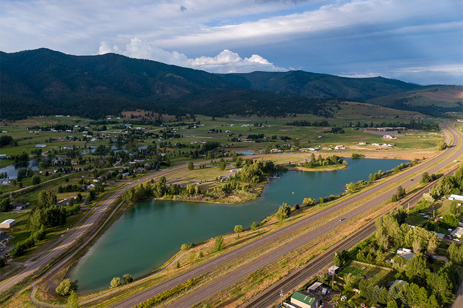
Tongue River Reservoir State Park is located near the southeastern border of Montana, just 10 minutes outside of Decker.
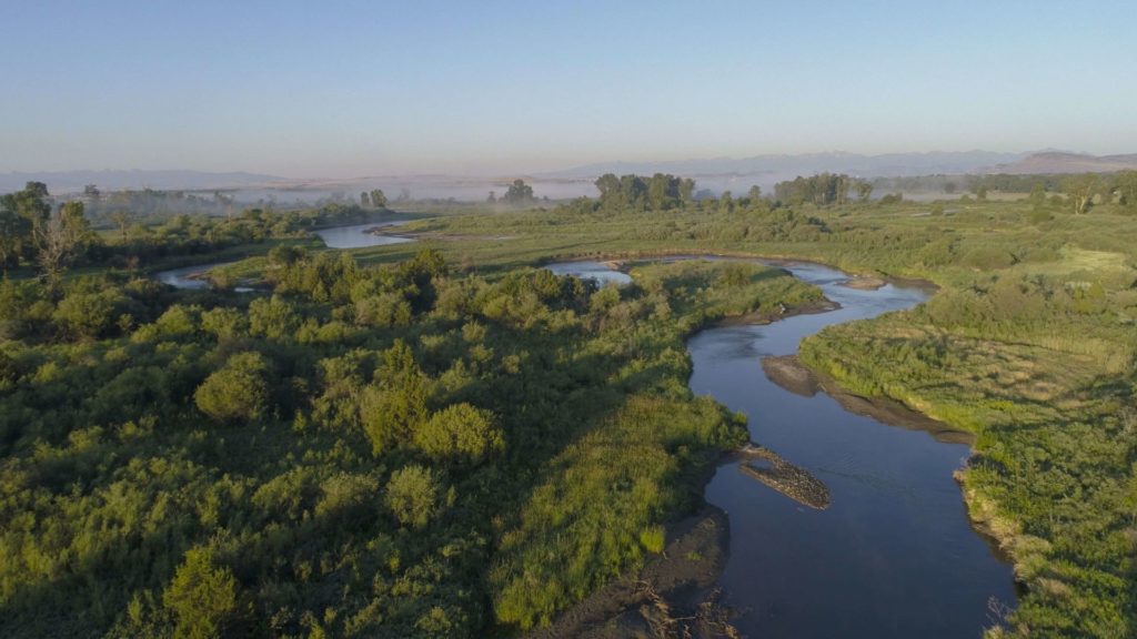
A 265-mile-long tributary of the Yellowstone River, “the Tongue” (as it is called locally) starts in Wyoming and runs through Montana.
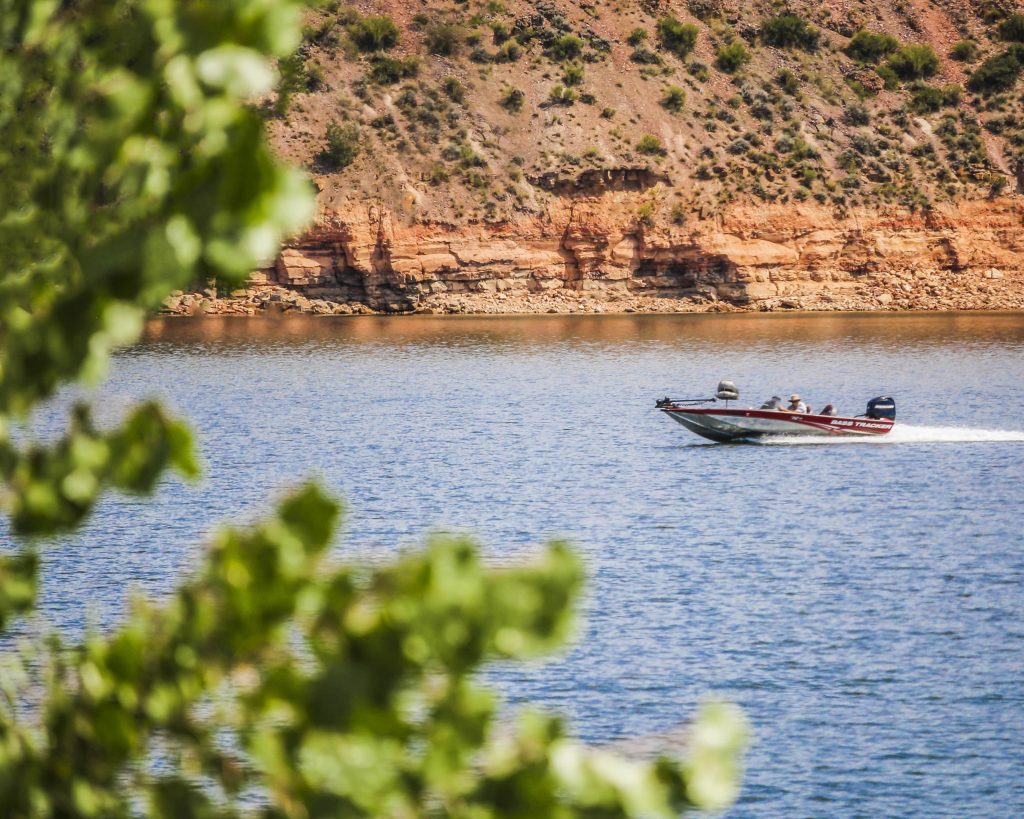
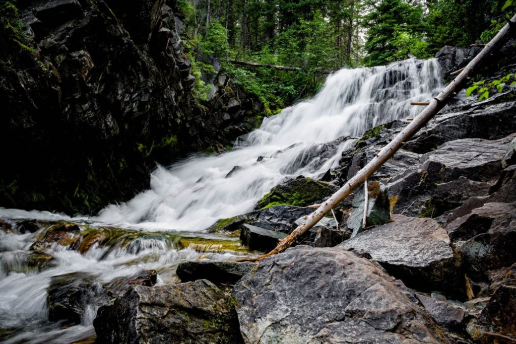
The park features a 12-mile long reservoir set in the scenic prairie and bluff lands of southeastern Montana, which is characterized by the striking contrast of red shale and juniper canyons. Due to the rareness of large bodies of water like this in this part of the state, the park can see up to 50,000 visitors a year.
We are able to bring you valuable information about this amazing state park thanks to the support of:


")
")
")
")
")

Looking to camp?
81 reservable campsites with electric hookups, and 27 of those are double occupancy with two electric hook-ups. There are also 80 non-reservable, non-electric sites!
At 12 miles long, the reservoir makes for excellent fishing any time of year! You’ll find crappie, walleye, bass, and northern pike here. You can also fly fish below the dam, and a fish cleaning station is located within the park.
Forgot anything or just need additional supplies? The marina at Campers Point has firewood, ice, fishing and boating supplies, boat rentals, boat and RV storage, bait, groceries, snacks, drinks, gasoline, souvenirs, fishing and hunting licenses, and non-resident park passes.
While summertime may be the most popular time to visit the park, Tongue River Reservoir State Park also features amazing ice fishing and year-round campsites that support just that.
- Take the boat out on the water! There are two boat ramps with docks, one at Campers Point and one at Pee Wee North.
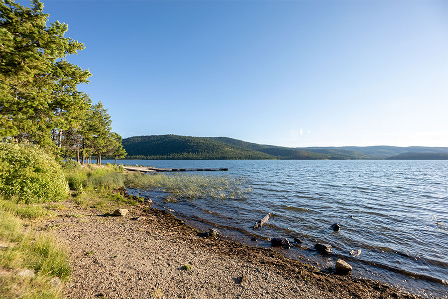
- Go for a swim! Sand Point has a small beach area for swimming.
- Keep your eyes open for wildlife! You may see osprey, blue herons, deer, antelope, or bald eagles.
- Bring your picnic! The designated day-use area has picnic tables at Campers Point and Sand Point.
Tongue River Reservoir has some of the best ice fishing in Montana.
Just ask Chris Jairell of Sheridan, WY who landed a massive 42-inch, 15-pound Tiger Muskie while ice fishing last year.
Tongue River Reservoir boasts miles and miles of ice to test your skill and get you out this winter.
You can also check The Marina's Facebook page to keep tabs on the water and weather conditions. They post regular updates as well as provide an opportunity to share your big fish stories. Just be prepared to provide photographic evidence when you do.
The Marina is also a great place to learn about what you can fish for, ice conditions, and travel tips. You can also call them at (406) 757-2225
Tongue River Reservoir State Park currently holds two state records for the weight of fish caught, including a 37.5 pound Northern Pike?
")
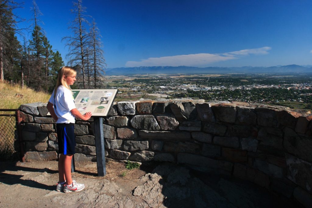
Curious what other visitors have had to say about the park?

-
Park
Open Year-Round
-
Campground
Open Year-Round
Electricity available at some campgrounds
Group areas & playground are open -
Water & Fish Cleaning Stations
Electricity available at some campgrounds
Group areas & playground are open -
Location
290 Campers Point Decker, MT 59025
Parks That Others Are Visiting


Tongue River Reservoir State Park Read More »


")
")
")


")
")
")