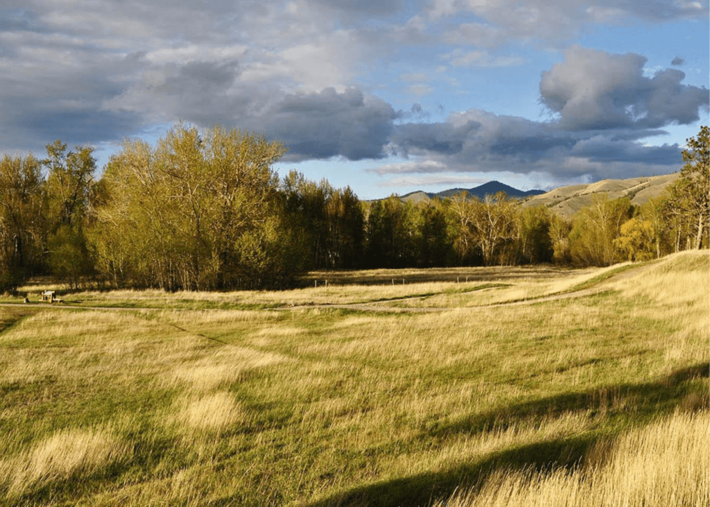
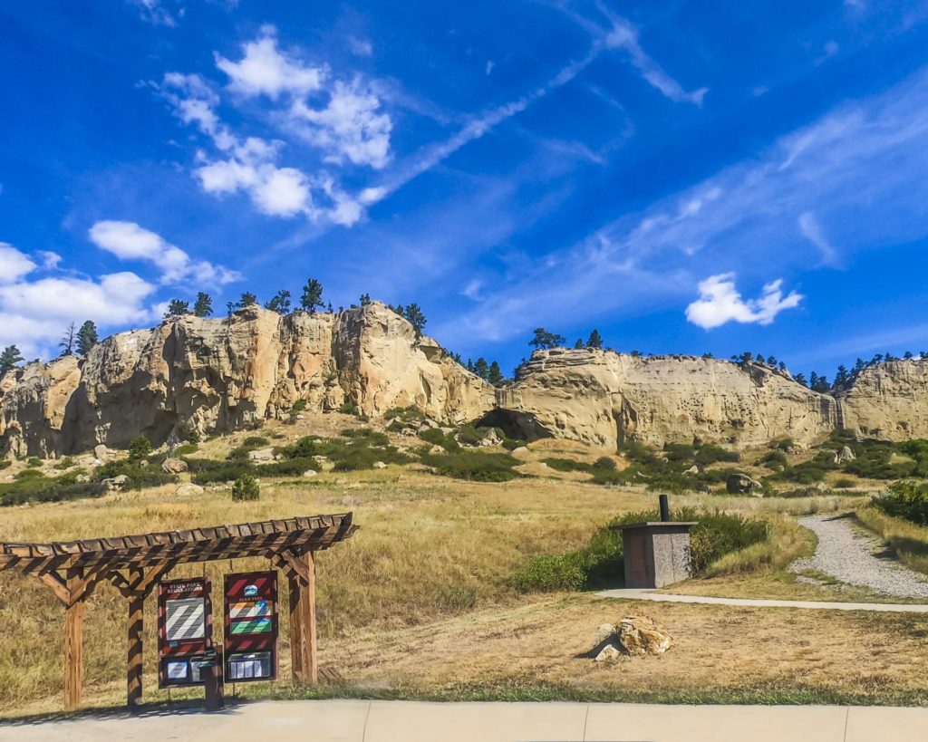
Smith River State Park


Looking to float?
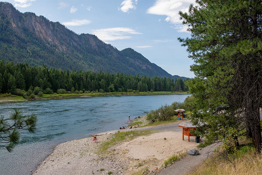
If you weren't lucky enough to win a permit during the annual lottery system, you can still enjoy the Smith River by visiting Camp Baker west of White Sulphur Springs or Eden Bridge 59 miles downriver and just short drive south of Great Falls.
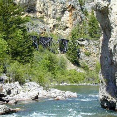
At Camp Baker, you'll find a campground with primitive campsites, latrine facilities, and a busy boat ramp for the lucky folks who won launch permits.
After the floating parties have launched for the day Camp Baker becomes quiet for a few hours and visitors will enjoy great access for fishing, birdwatching, and even swimming in the summer months.
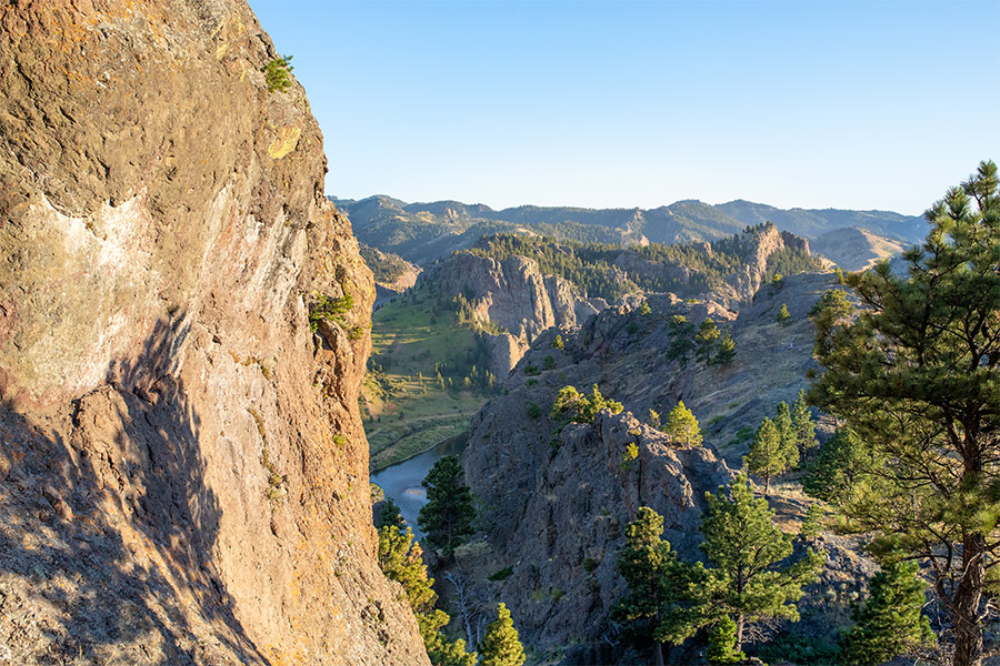
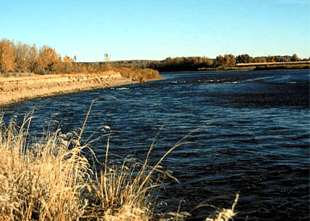
At the other end of the park is Eden Bridge, the normal take out for Smith River float trips. Eden Bridge is a minimally developed day-use site with latrine facilities, a boat ramp, and day-use access to the river.
While there are few amenities at Eden Bridge, it does make for a nice day trip destination from Great Falls where visitors have a chance to spend time on the banks of one of Montana's most iconic waterways. The float season varies widely depending on snow-pack, rainfall and the amount and timing of irrigation.
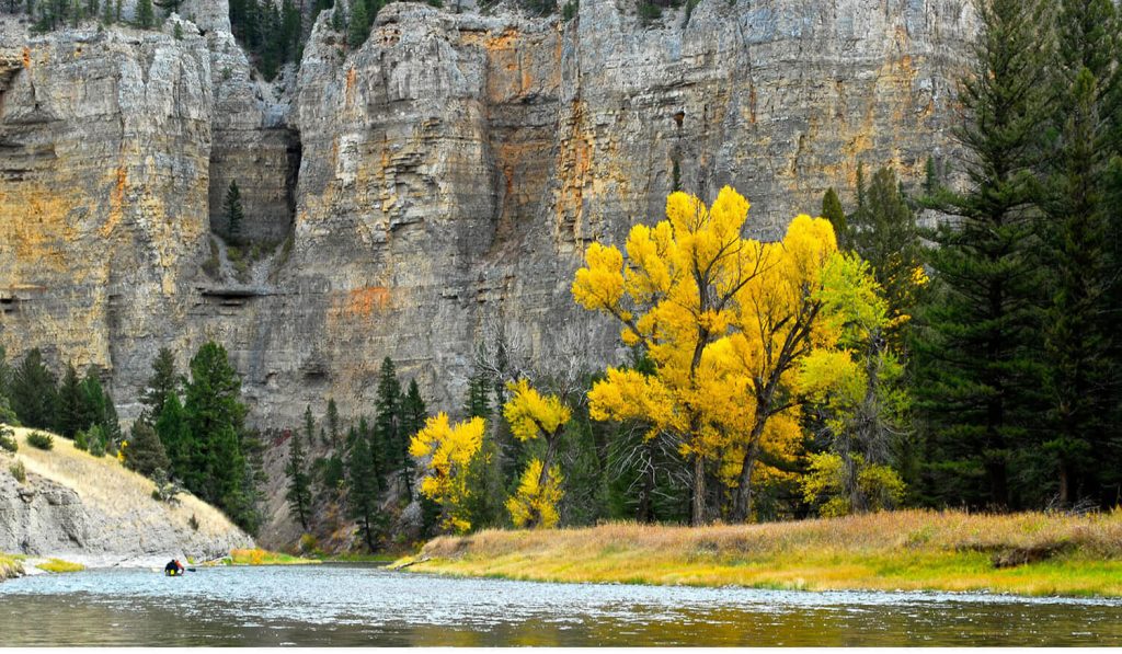
The “typical” float season runs from mid-April through mid-July, with occasional floating opportunities in September and October.
Many find Smith River State Park a place of peace because a permit is required to float the Smith River. This permit requirement means visitors can expect to have a quality, multi-day float with relative solitude and excellent trout fishing opportunities.
Of course, you don't need a permit to access the campground and enjoy all the natural splendor of the area.
")
Curious what other visitors have had to say about the park?


Park
Open Year-Round
-
Location
791 Clear Range Road White Sulpher Springs, MT 59645
Parks That Others Are Visiting


Smith River State Park Read More »


")
")
")
")
")