Water-Based Parks

Somers Beach State Park

Somers Beach State Park

Somers Beach State Park

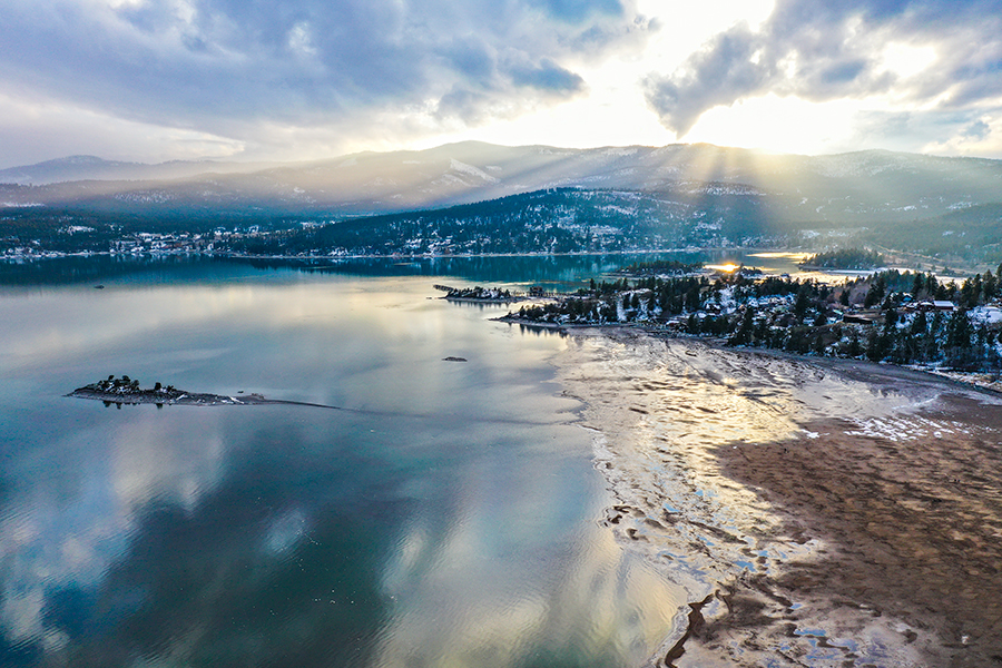
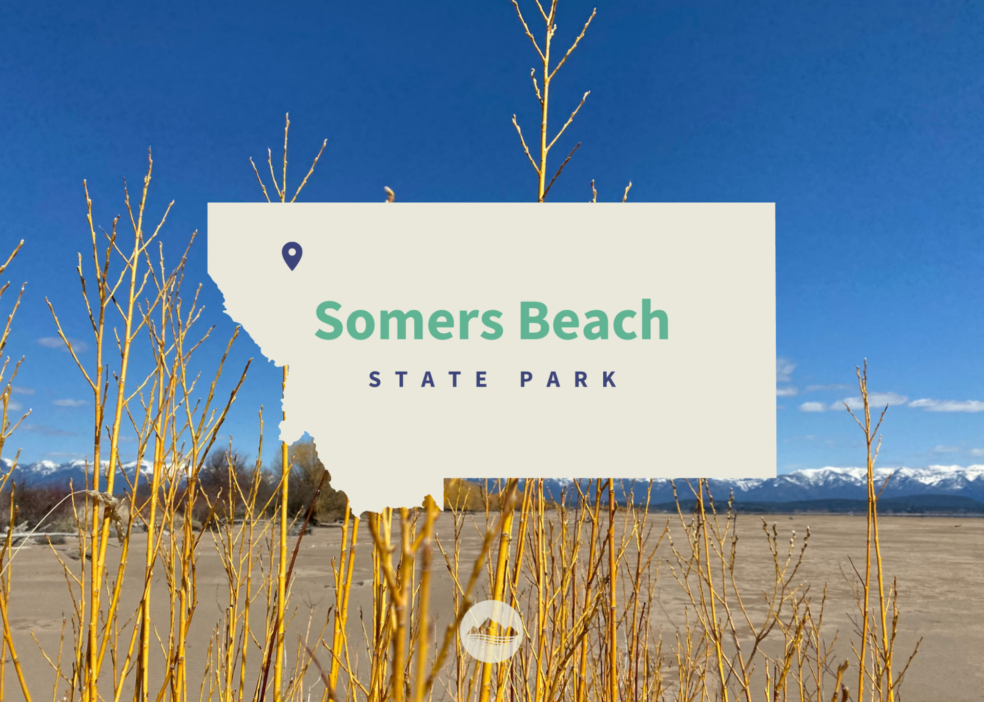
Over the past decade, the Sliter family and the Montana State Parks Foundation have been working together to conserve and create public access at their property east of Somers, encompassing almost a half-mile of Flathead Lake shoreline.

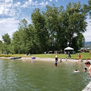
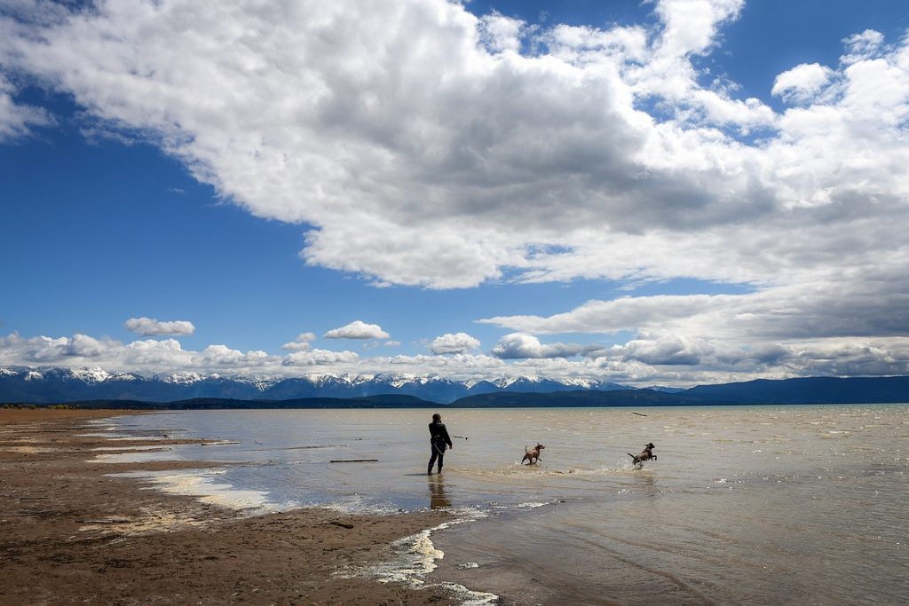
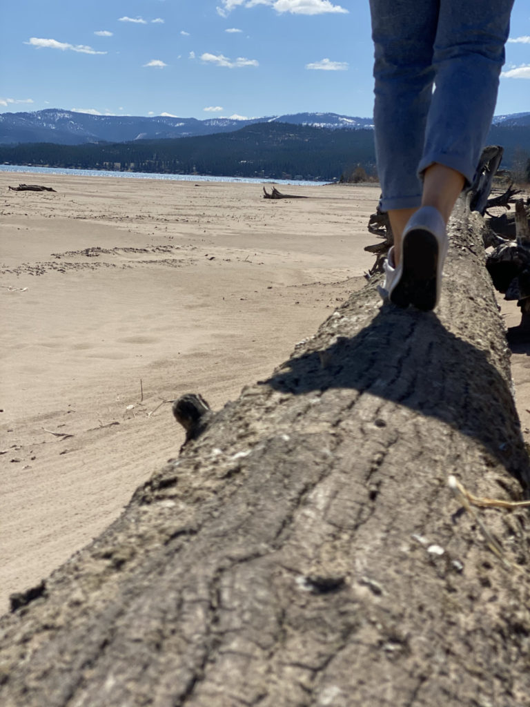
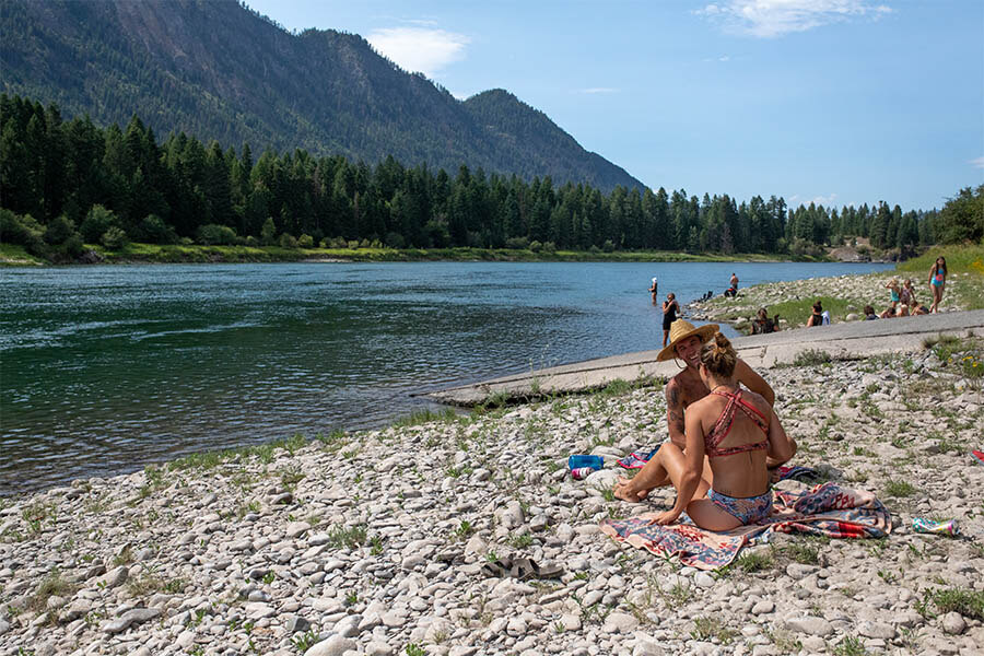
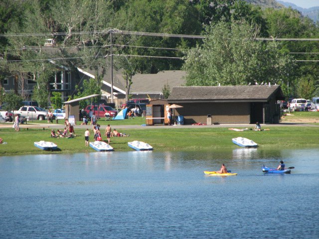
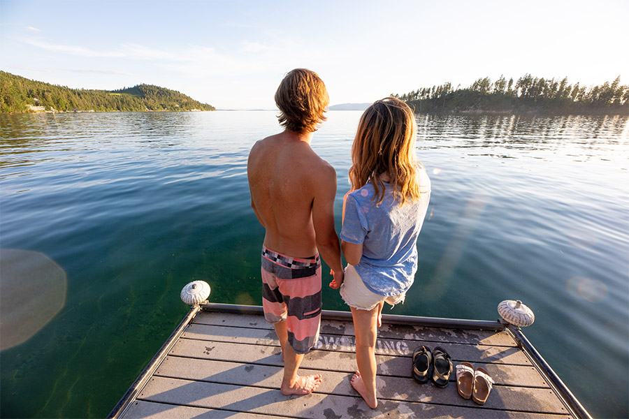
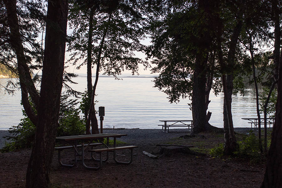
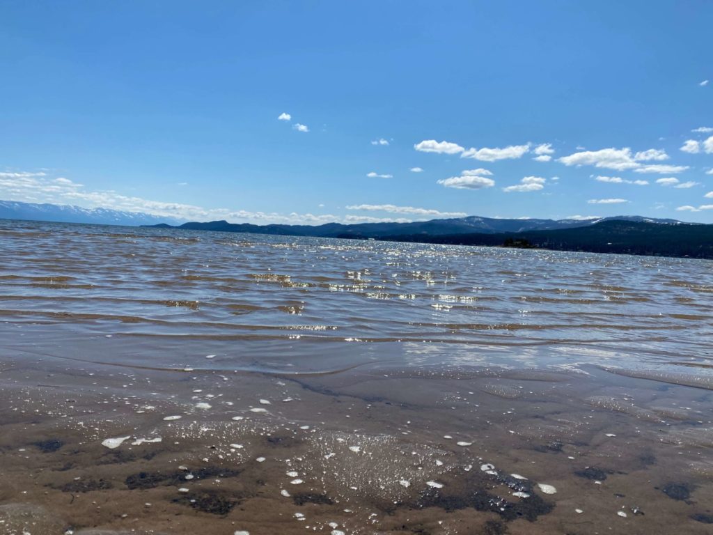
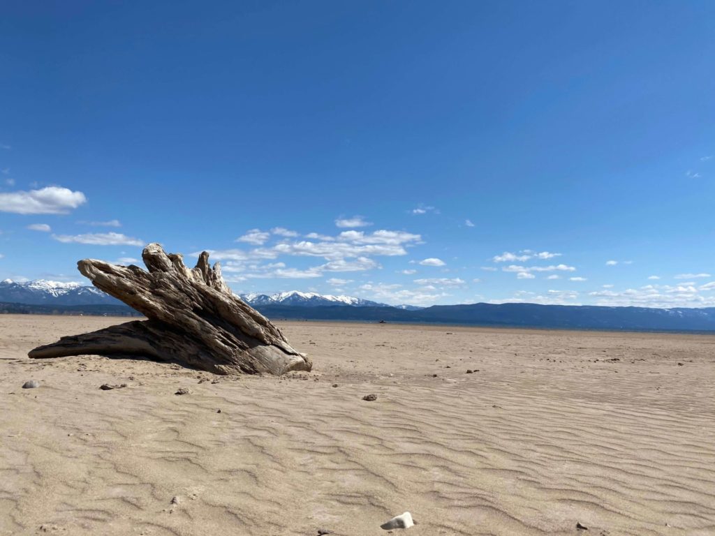
This rare property has an expansive sandy beach at low lake levels, and at higher lake levels, its shallow waters provide a safe area for families to swim and recreate.

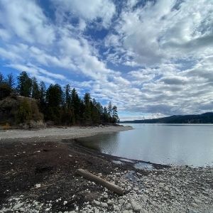
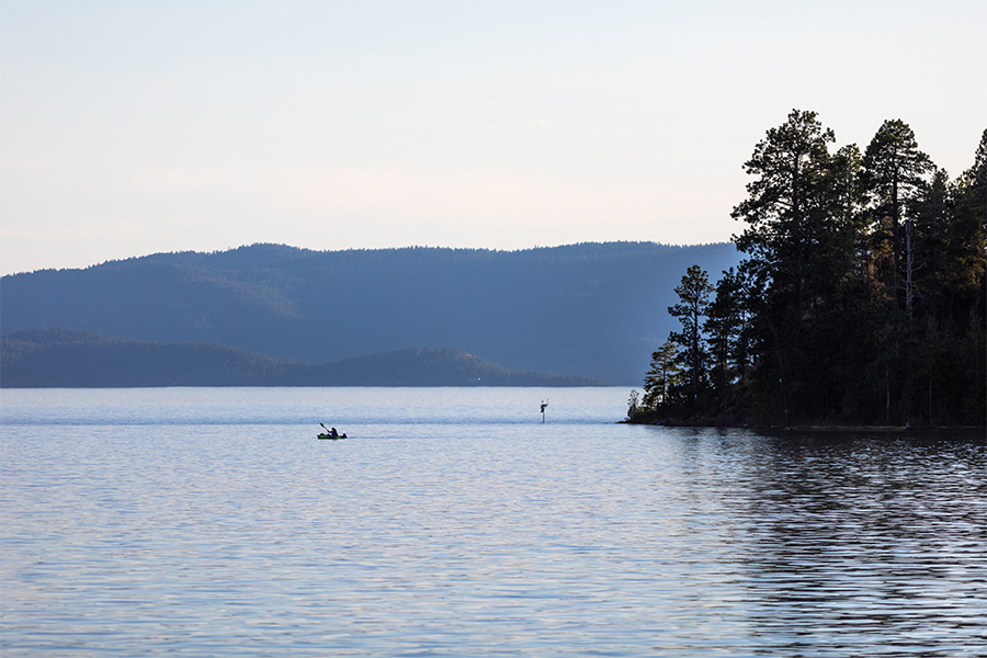
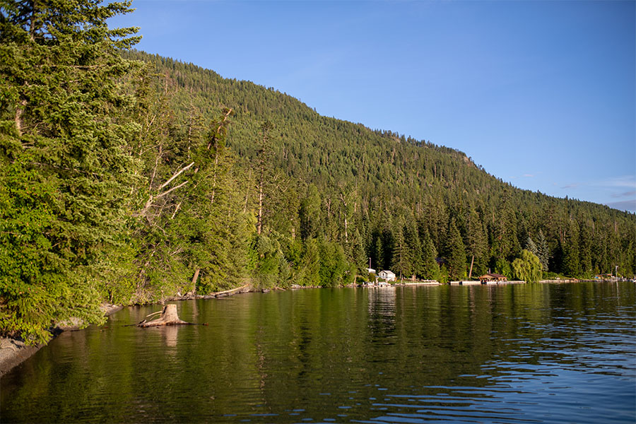
It also has impressive beauty with views of the Swan Mountains and miles of undeveloped shoreline.

Montana’s newest state park has been proposed for this spectacular site.
Somers Beach State Park

The Sliter Family generously promised a $100k matching grant for the creation of our newest state park, totaling to $200,000!

Along with our matching grant, Everit and Nikki Sliter have made a pledge of $25k, raising our match requirement to $125k, with an overall total of $250,000 if we make our match!

Although much of the north shore is public land, as part of the Flathead Lake Waterfowl Production Area, the WPA is closed to human use between March and July each year to protect migrating and nesting birds.

The park opened in the summer of 2021. Minimal amenities will be available at first but your donations and support will help us build a great park from the ground up. In the meantime, please understand that the park remains private until the final real estate sale is complete. We'll continue to post updates on our website and social media pages, so stay tuned.

Park Activities

Somers Beach State Park is day-use only, all dogs must be on a leash and fires are not permitted.

In spring 2022, FWP is conducting a public planning process to help guide future use and development of the site with the goal of establishing a clear vision and long-term plan for the park.

Park Features

Somers Beach State Park is day-use only, all dogs must be on a leash and fires are not permitted.

In spring 2022, FWP is conducting a public planning process to help guide future use and development of the site with the goal of establishing a clear vision and long-term plan for the park.

We couldn't have done it without you! Locals submitted over 250 letters showing overwhelming support for the property to become a future state park.

Although Flathead Lake is the largest freshwater lake in the western U.S., there are currently only 13 public access sites along its 185 miles of shoreline.

As a state park, these public lands will help permanently conserve wildlife habitat while continuing to allow public recreation.

Please consider donating to the park today or becoming a sponsor of a featured park email.

Did You Know

Curious what other visitors have had to say about the park?

“In order to protect this special place from future private development, conserve the wetlands and bird habitat, and secure much needed new public access on Flathead Lake, we feel a state park offers our best opportunity to do so." - Paul Travis, Executive Director of Flathead Land Trust

“Our family’s long-term intention for this special property has been to find a solution that conserves the shoreline and offers safe public access." - Andrea Sliter Goudge

Quick Facts
  • pine icon

    Park

    Day-use only


  • pine icon

    Location

    558 Somers Rd, Somers, MT 59932, United States

Somers Beach State Park Read More »

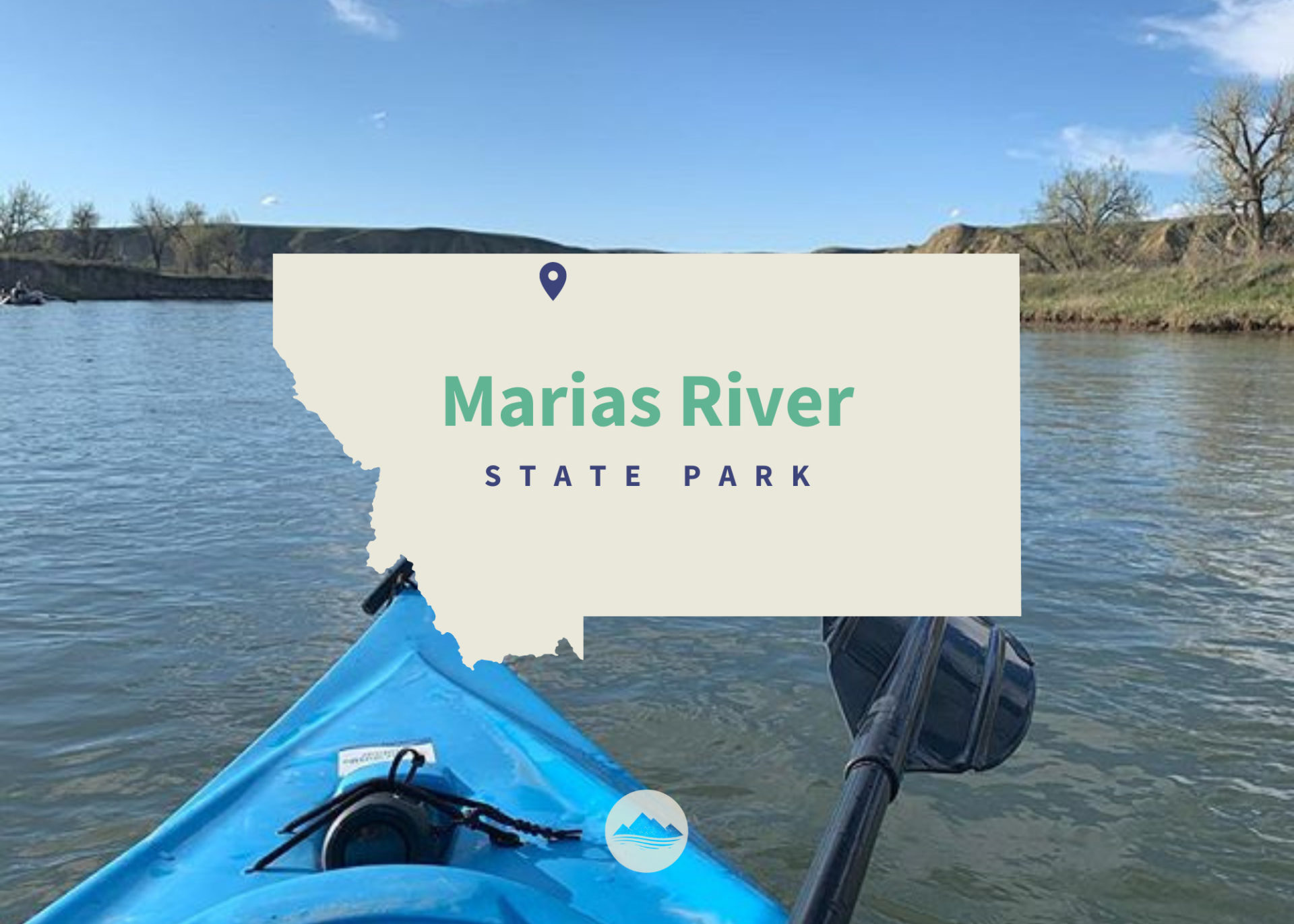
Maria’s River State Park

Marias River State Park

Marias River State Park

To get to there from I-15, take exit 358 and head east on Marias Valley Road North for 3.5 miles. Then turn west on Hjartarson Road and travel for 10.2 miles, then turn south for 2.5 miles.

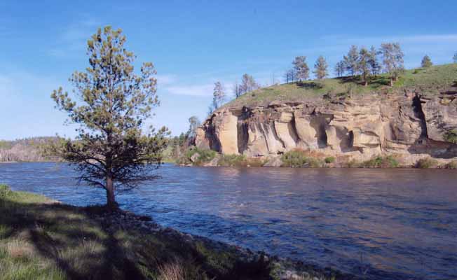
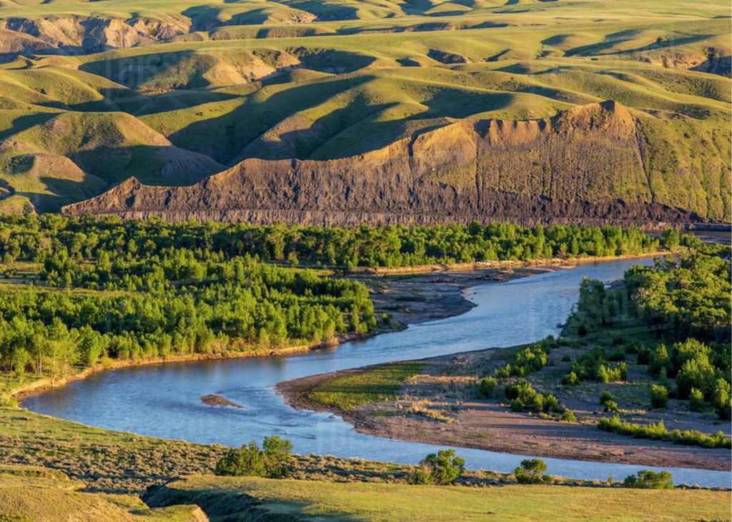
This 5,845-acre property, a combination of state park, and wildlife management area was established May 1, 2009. The site includes an undeveloped 14-mile stretch of the Marias River, as well as sagebrush, grassland, and short grass prairie habitats in the uplands.

Non-motorized access only. Respect private property, do not trespass. Rules prevent discharge of weapons except for lawful hunting during established hunting seasons. Pack it in and pack it out. No facilities are offered at this time.

Marias River State Park

Park Activities

Park Features

The Marias River flows through the Wildlife Management Area for 13 miles.

When FWP bought the land, officials believed an existing road on the east side of the WMA would provide access to the river and interior of the state park. However, an adjacent landowner disputed FWP plans and stated that the road was not public.

The landowner and FWP went through a formal mediation process, and FWP proposed transferring approximately 483 acres of the WMA to the landowner in exchange for public recreational access on Lincoln Road. In November 2015, the Fish and Wildlife Commission voted down the road proposal, leaving the State Park and Wildlife Management Area without vehicle access to the river.

Montana Fish, Wildlife and Parks purchased the 5,485-acre Wildlife Management Area in 2008. A 1,878-acre state park sits next to it.

The land was previously owned by Charlie Lincoln and known as the Lincoln Ranch. When Lincoln died, he left his ranch to the Catholic Diocese of Montana with instructions to give FWP the first right of refusal if the diocese decided to sell the land.

FWP paid $2 million for the state park portion of the land, funded through a one-time appropriation from the 2007 Legislature, and $5.6 million for the WMA portion thanks to Habitat Montana funding.

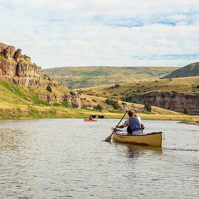
The Marias River is void of any technical whitewater. It's an easy float, even for someone with minimal experience.

It provides an easy two-date float.

Did You Know

Curious what other visitors have had to say about the park?

"Beautiful, spacious, peaceful and fun!"

"It's beautiful here & I heard the fishing is good."

"The only state park in the middle of MT. Nice cottonwoods surround good size lake. Camp spots on the far side are more private and shaded in the afternoon. Beautiful prairie views."


"It is a fun place to hang out for the weekend. Great for fishing year-round."


Quick Facts
  • pine icon

    Park

    Open
    Apr 1 to Jan 15

  • pine icon

    Location

    From I-15, Exit 358 east to Marias Valley Road, North 3.5 miles, turn west on Hjartarson Road, for 10.2 miles, then south 2.5 miles.

Maria’s River State Park Read More »
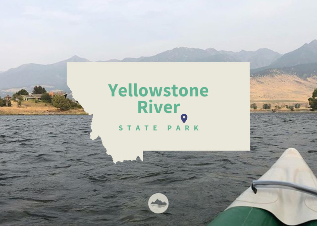
Yellowstone River

Yellowstone River State Park

Yellowstone River State Park

Yellowstone River State Park

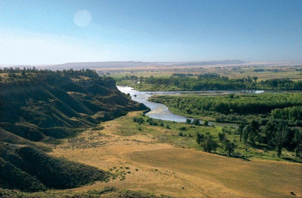
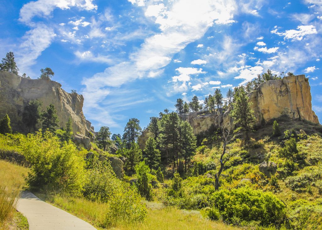
Yellowstone River State Park is just over 200 acres of what used to be the Circle R Ranch, which was purchased by FWP in 2008. Sandstone bluffs, pasturelands, and groves of cottonwood trees surround this unique park.

Unlike many state parks across Montana, you won't find many amenities or visitor information kiosks. This undeveloped park is adjacent to Wildlife Management Areas and BLM property, which allows users to experience solitude and quiet only miles from Montana's largest city, Billings.

Yellowstone River State Park

Looking for things to do?

There are many opportunities for recreation along the Yellowstone River.

Gravel along the river from Custer to Sidney often yields Montana agates (inquire locally or through the Custer Country tourism region for guide services or rockhounding tips).

Fishing and floating are two other favorite activities on the Yellowstone. Badlands scenery is abundant in Terry or Makoshika State Park (in Glendive, MT), where you can drive to view impressive rock formations.

The site contains 3,976 deeded acres and includes 5 miles of wooded Yellowstone River shoreline. The acquisition also secured for the public use of 5,450 acres of Bureau of Land Management (BLM) and state land that had been difficult to access.

Currently undeveloped, the park provides an ideal spot for hiking the day away. Sandstone bluffs overlook the Yellowstone River while deep canyons and ponderosa pine-lined coulees dot the landscape.

The area provides habitat for mourning doves, meadowlarks, mallards, Canada geese, wild turkeys, pheasants, sage grouse, sharptailed grouse, Hungarian partridge, mule deer, whitetail deer, pronghorn antelope, and even an occasional elk.

The Yellowstone is the last free-flowing river in the lower 48 states. From its headwaters in Lake Yellowstone downstream 670 miles to the Missouri River in North Dakota, the Yellowstone River flows as it has for centuries, in its natural state, undammed and untamed.

Clear, cool, swift and challenging it offers fishermen and river runners some of the best water Montana has to offer.

To fishermen, its blue-ribbon waters are known world round for an abundance of big trout. As it flows through Montana, the big river goes through many changes - from steep-walled canyons where boulders churn its green waters to the eastern part of the state where the river broadens to take a lazy path through fertile farm country.

There are many opportunities for recreation along the Yellowstone River.


Did You Know

Curious what other visitors have had to say about the park?

"Beautiful, spacious, peaceful and fun!"

"It's beautiful here & I heard the fishing is good."

"The only state park in the middle of MT. Nice cottonwoods surround good size lake. Camp spots on the far side are more private and shaded in the afternoon. Beautiful prairie views."


"It is a fun place to hang out for the weekend. Great for fishing year-round."


Quick Facts
  • pine icon

    Park

    Open Year-Round

  • pine icon

    Location

    989 Ackley Lake Road Hobson, MT 59452

Yellowstone River State Park Read More »
Smith River State Park

Smith River State Park

Smith River State Park

Smith River State Park

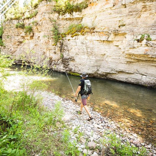
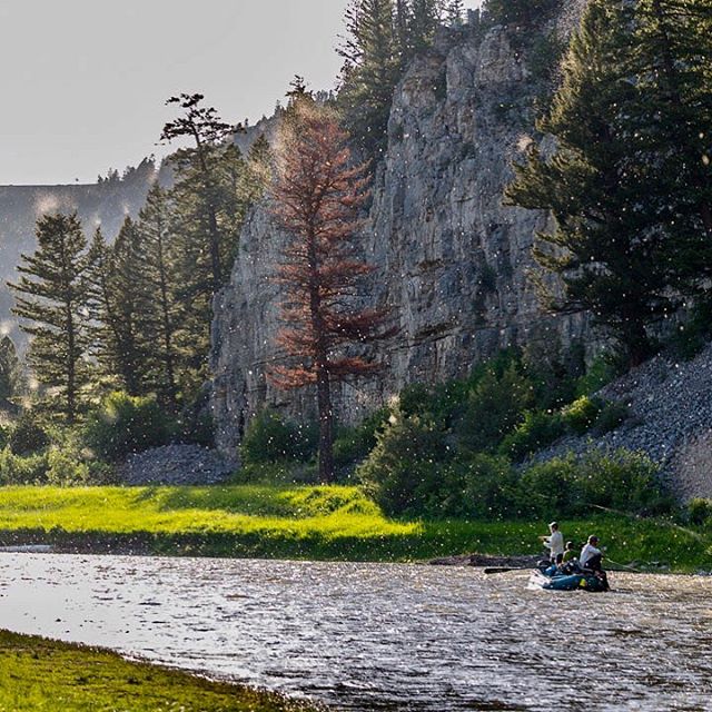
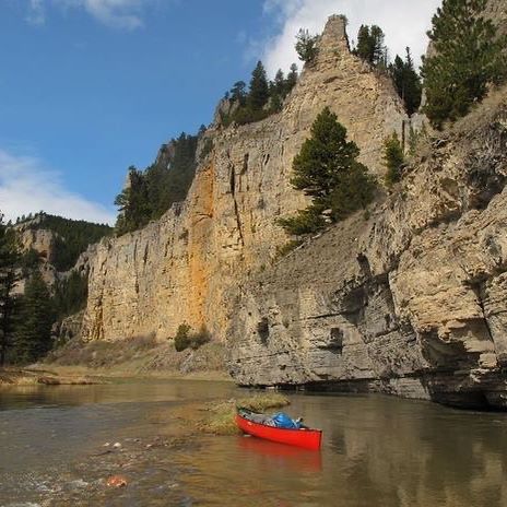
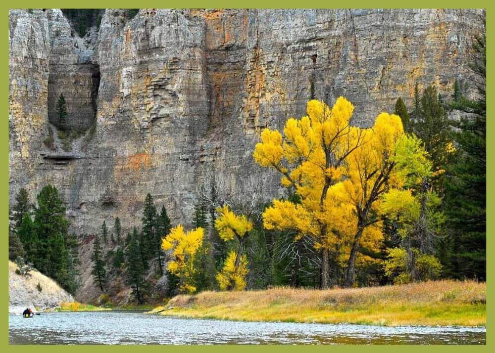
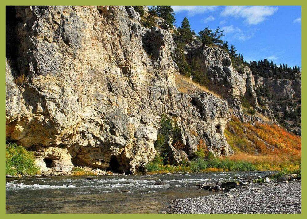
The Smith River is mostly known for being a wonderful 59-mile long river full of natural beauty, with great boating, fishing, and photographic opportunities.

Smith River State Park
IMG_5965

Download Campsite Map

IMG_5966

Download Park Map

Looking to float?

Permits to float the river are highly sought after and distributed through a lottery system similar to hunting licenses for certain big game species in Montana.


If you weren't lucky enough to win a permit during the annual lottery system, you can still enjoy the Smith River by visiting Camp Baker west of White Sulphur Springs or Eden Bridge 59 miles downriver and just short drive south of Great Falls.

At Camp Baker, you'll find a campground with primitive campsites, latrine facilities, and a busy boat ramp for the lucky folks who won launch permits.

After the floating parties have launched for the day Camp Baker becomes quiet for a few hours and visitors will enjoy great access for fishing, birdwatching, and even swimming in the summer months.

At the other end of the park is Eden Bridge, the normal take out for Smith River float trips. Eden Bridge is a minimally developed day-use site with latrine facilities, a boat ramp, and day-use access to the river.

While there are few amenities at Eden Bridge, it does make for a nice day trip destination from Great Falls where visitors have a chance to spend time on the banks of one of Montana's most iconic waterways. The float season varies widely depending on snow-pack, rainfall and the amount and timing of irrigation.

The “typical” float season runs from mid-April through mid-July, with occasional floating opportunities in September and October.

Many find Smith River State Park a place of peace because a permit is required to float the Smith River. This permit requirement means visitors can expect to have a quality, multi-day float with relative solitude and excellent trout fishing opportunities.

Of course, you don't need a permit to access the campground and enjoy all the natural splendor of the area.

Did You Know

Curious what other visitors have had to say about the park?

"Lots of fun things to see and imagine. Have fun exploring, we did."

"My favorite vacation to date."

"The trip was absolutely perfect for our honeymoon! Protect the Smith!"

"Luckily we can still do this, best therapy around!"


Quick Facts
  • pine icon

    Park

    Open Year-Round

  • pine icon

    Location

    791 Clear Range Road White Sulpher Springs, MT 59645

Smith River State Park Read More »
Thompson Chain of Lakes State Park

Thompson Chain of Lakes State Park

Thompson Chain of Lakes State Park

Thompson Chain of Lakes State Park

Thompson Chain of Lakes State Park covers approximately 3,000 acres and stretches over 20 miles along Highway 2, halfway between Kalispell and Libby.

We are able to bring you valuable information about this amazing state park thanks to the support of:

1
IMG_5966

Download Park Map

IMG_5964

Download Brochure

Looking for water access?

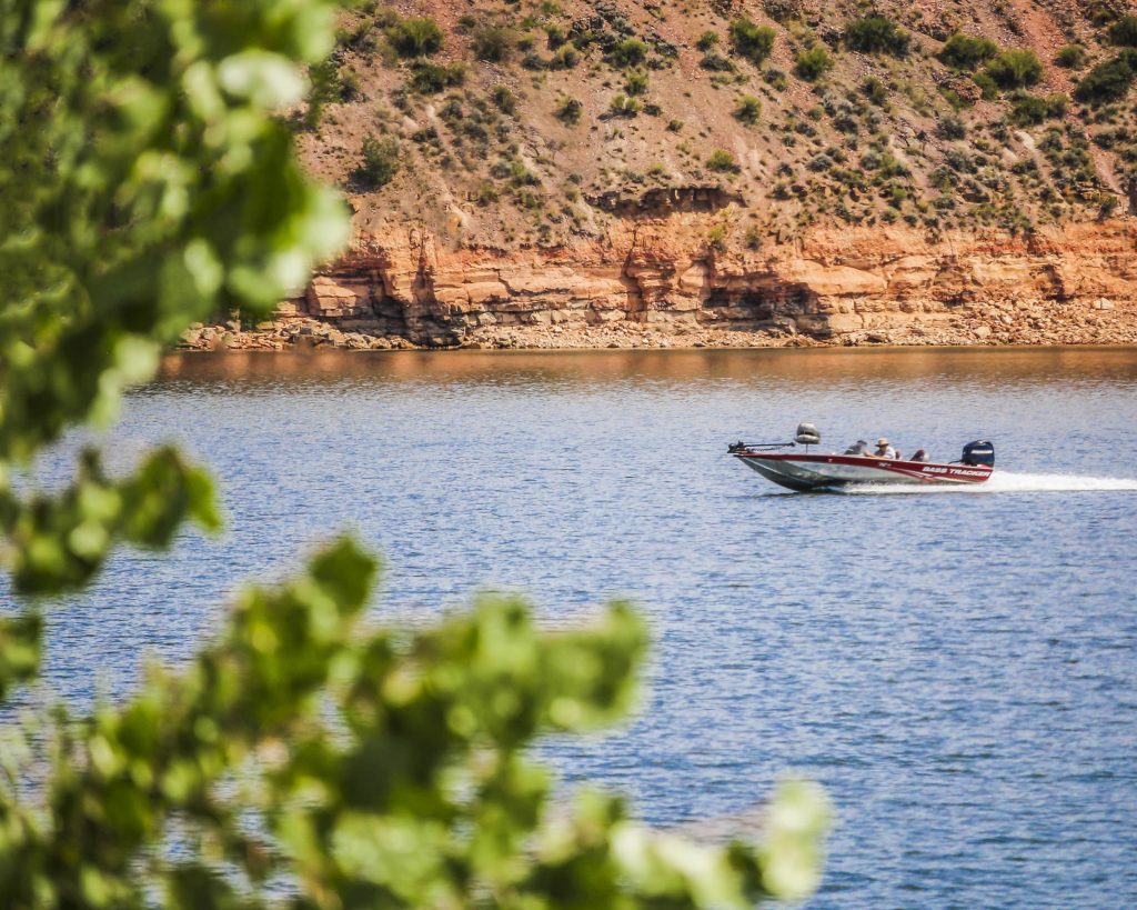
This extensive park includes shoreline access to 18 lakes including McGregor Lake, Little McGregor Lake, Lower Thompson Lake, Middle Thompson Lake, Upper Thompson Lake, Horseshoe Lake and Loon Lake.

There are 83 standard campsites and 8 group campsites, all of which require a fee for overnight camping. Sites are rustic; there is no drinking water available.  Please remember, these campgrounds are currently closed and will reopen when health officials have determined it is safe to do so.

Concrete boat ramps are located at Little McGregor Lake, Boisverts on McGregor Lake, the Peninsula on Lower Thompson Lake, Upper Thompson Lake, Horseshoe Lake and Loon Lake.

Roads are primitive and not recommended for motor homes and large trailers.

However, the 37 developed campsites at Logan State Park, located on Middle Thompson Lake, are suitable for large camping units.

Visitors enjoy swimming, boating, camping, and water skiing, and the lakes are especially noted for great fishing.

Local fish include black crappie, brook trout, lake trout, northern pike, rainbow trout, largemouth bass, smallmouth bass, kokanee salmon, westslope cutthroat trout and yellow perch.

Thompson Chain of Lakes State Park also offers some of the most outstanding opportunities for wildlife viewing in northwest Montana.

Did You Know

Curious what other visitors have had to say about the park?

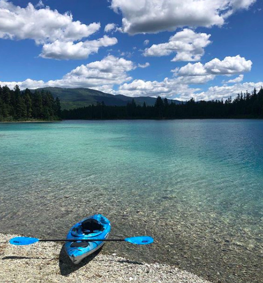
"It's an amazingly beautiful place to be out in the water. So clear you can see the bottom."

"Very pretty and fun to explore on a kayak!"

"Love the nice small lakes, great for paddle board or kayak. Did not camp but would be great place to do that. Area is well maintained."

"These lakes are renown for fishing, swimming and water sports. There are plenty of camp sites around the lakes, including Logan State Park - which has a boat launch and public beach perfect for picnic lunches and swimming for even young kids."


Quick Facts
  • pine icon

    Park

    Open Year-Round

    Roads are not maintained during winter months.

  • pine icon

    Camping 

    Open

  • pine icon

    Location

    78854 US Hwy 2 Libby, MT 59923

Thompson Chain of Lakes State Park Read More »
Thompson Falls State Park

Thompson Falls State Park

Thompson Falls State Park

Thompson Falls State Park

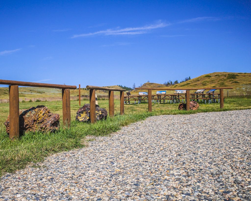
Located along the Clark Fork River between Thompson Falls Dam and Noxon Dam, Thompson Falls State Park is surrounded by a mature and a mixed conifer forest making for a tranquil and quiet destination.

We are able to bring you valuable information about this amazing state park thanks to the support of:

1
IMG_5965

Download Campsite Map

IMG_5966

Download Park Map

Looking to hike or fish?

Ready to hike away your day? Thompson Falls Trail runs along the Clark Fork River and connects to the Montana Highway 200 into the town of Thompson Falls where you’ll find the Thompson Falls Community Trails network.

Pike and bass are the most common species fished out of Thompson Falls State Park, but you may find a surprise species if you’re lucky!

While fishing and hiking are popular in Thompson Falls, this state park is used mostly for camping and picnicking. Host to 18 sites and a group picnic area, this riverside campground is great for tent or RV camping, but make sure your trailer is no more than 30 feet!

The Thompson Chain of Lakes includes 18 lakes and stretches 20 miles! Families will love the improved fishing pond which includes an accessible fishing pier, picnic shelter, bathroom and improved parking.

Did You Know

Curious what other visitors have had to say about the park?

"Nice place to camp along Clark Fork River. Beautiful view from the back of our site along the river. Camp was quiet and bathrooms were clean."

"Plenty of camping and picnic spots, along with a boat launch. Long stretches of Sandy Beach along the river for swimming. We enjoyed kayaking, as well! We come every year for a big family campout!"

"This place is so beautiful! The trail is right on the river. My children absolutely loved it! My 5 year especially loved the lake with all the turtles. This is a great place to eat lunch and go for a short hike."

"A great place to camp!! Will definitely go back."


Quick Facts
  • pine icon

    Park

    Open Year-Round

  • pine icon

    Campground

    Open Year-Round

  • pine icon

    Location

    2220 Blue Slide Rd. Thompson Falls, MT 59873

Parks That Others Are Visiting

Thompson Falls State Park Read More »
Spring Meadow Lake State Park 3

Spring Meadow Lake State Park

Spring Meadow Lake State Park

Spring Meadow Lake State Park

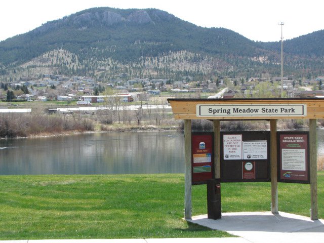
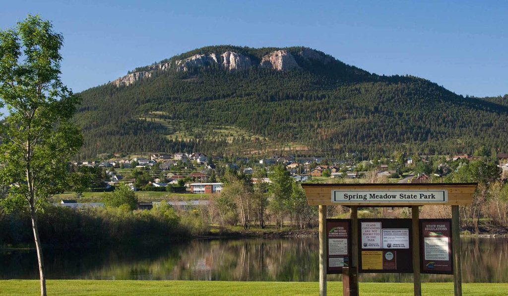
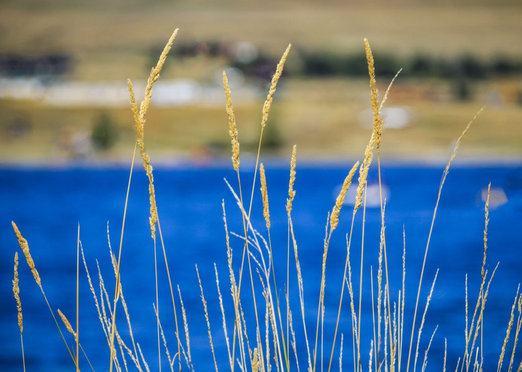
Located west of Helena is Spring Meadow Lake State Park, a day-use park, popular for swimming, sunbathing, fishing and birdwatching.

Spring Meadow Lake
IMG_5965

Download Campsite Map

IMG_5966

Download Park Map

Looking for wildlife?

There are great wildlife viewing opportunities at Spring Meadow Lake State Park. You’ll find birds, rabbits, turtles and more! Looking for a nice walk? A 0.8-mile, self-guided nature trail circles the lake.

If you’re in need of a spot to fish, Spring Meadow Lake is your place. The lake is home to trout, bass and sunfish and there is even an ADA accessible fishing dock added to the park in 2011!

Even in winter, Spring Meadow Lake is perfect for recreation. The trail is open all winter and if it’s cold enough you can even fish or skate on the lake!

Unfortunately, your four-legged friend will have to stay home during the warmer months. Between April 15 and October 15 there are no dogs allowed in Spring Meadow Lake State Park.

Spring Meadow Lake State Park is a fed by a natural spring that feeds cool, clean water into the lake that is used for fishing, swimming, non-motorized boating, and even scuba diving. The lake and the state park land surrounding it were once an active gravel mine that was donated to the state in 1981.

Did You Know

Curious what other visitors have had to say about the park?

"Nice quite little state park inside of Helena. Relaxing place to picnic, fish, swim or small boat/kayak."

"Great place to take the family out for the day and even get some fishing in. Located right in the heart of Helena, it is not out of the way at all and certainly worth a trip even just to hang out for lunch. The view is really nice, especially for being right in town that you would never even know."

"Great family park for Helena. Well maintained and kid-friendly swimming areas balanced with nice trails and fishing areas."

"Spring Meadow Lake State Park is the crown jewel among all the local parks. It is close to town, so people who can't go too far afield on their own (kids, for instance) can get there on foot or by bicycle. The lake itself is also a gem - it is usually clear, and it is always deep, cold, spring-fed and full of fish that everybody and anybody can try to catch. Helena is blessed with abundant parks and lots of nearby venues for outdoor fun but compared to any other urban parks and fishing spots anywhere, Helena's Spring Meadow Lake State Park cannot be beat."


Quick Facts
  • pine icon

    Park

    Open all year
    6am – 10pm

  • pine icon

    Location

    2715 Country Club Drive Helena, MT 59601

Spring Meadow Lake State Park Read More »
Salmon-Lake-State-Park

Salmon Lake State Park

Salmon Lake State Park

Salmon Lake State Park

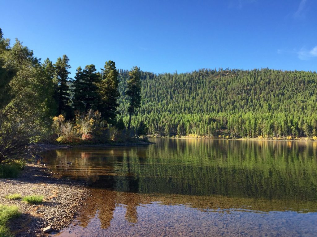
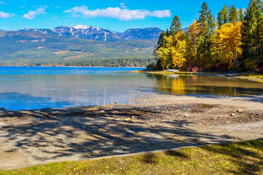
Tucked between the Mission and Swan Mountain Ranges along the Clearwater River you’ll find Salmon Lake State Park, a great park for camping and water recreation.  Salmon Lake became a state park in December of 1977.  

A memorial plaque near the park's center explains how the Salmon Lake State Park was a gift from the Champion Timberland Corps and is meant to serve as an honor to three foresters who died in a plane crash in 1976.

Salmon Lake State Park
IMG_5965

Download Campsite Map

IMG_5966

Download Park Map

Looking to visit?

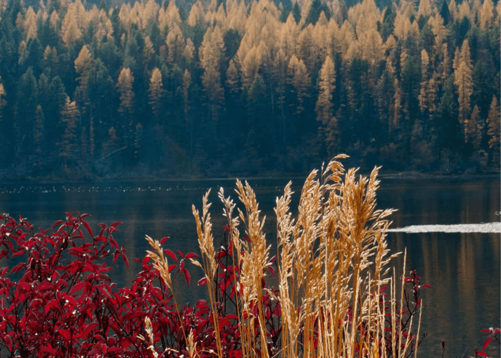
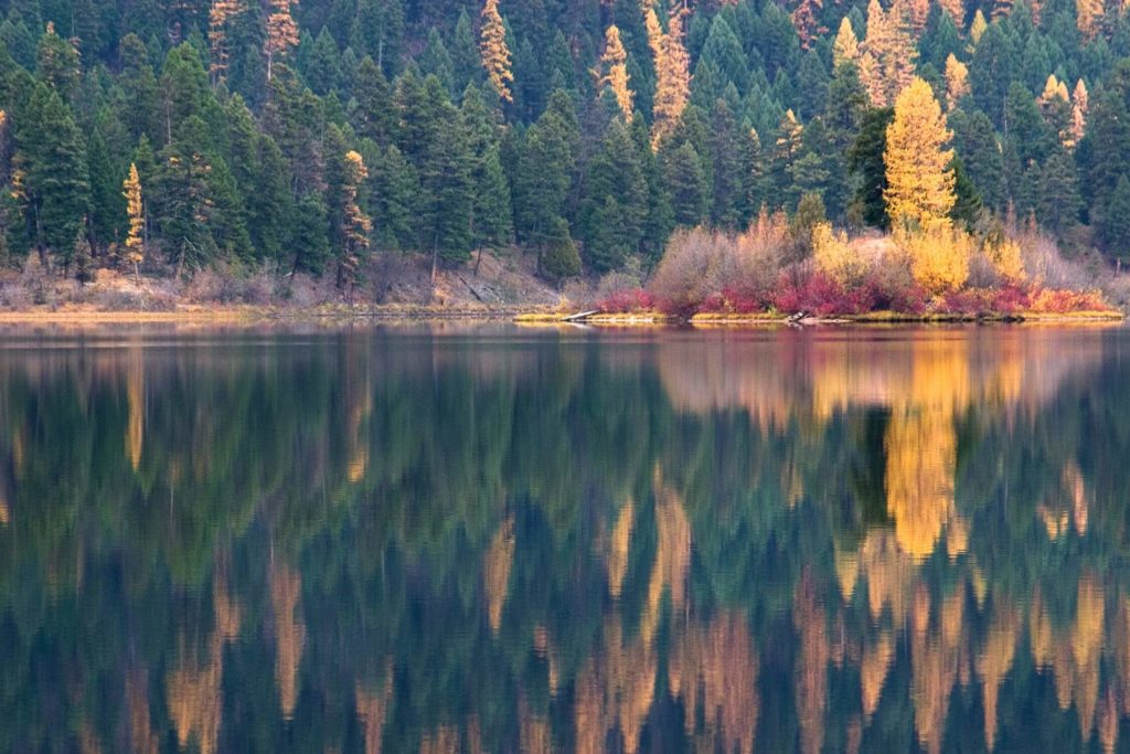
Fall is one of the best times to visit the park. The reflection of colorful Western Larch trees in the lake makes for a breathtaking view! 

The forests surrounding the lake are home to many Western Larch trees which are unique as they are one of only a few species of deciduous coniferous trees, meaning that they change color and shed their foliage in the fall like broadleaf trees.  

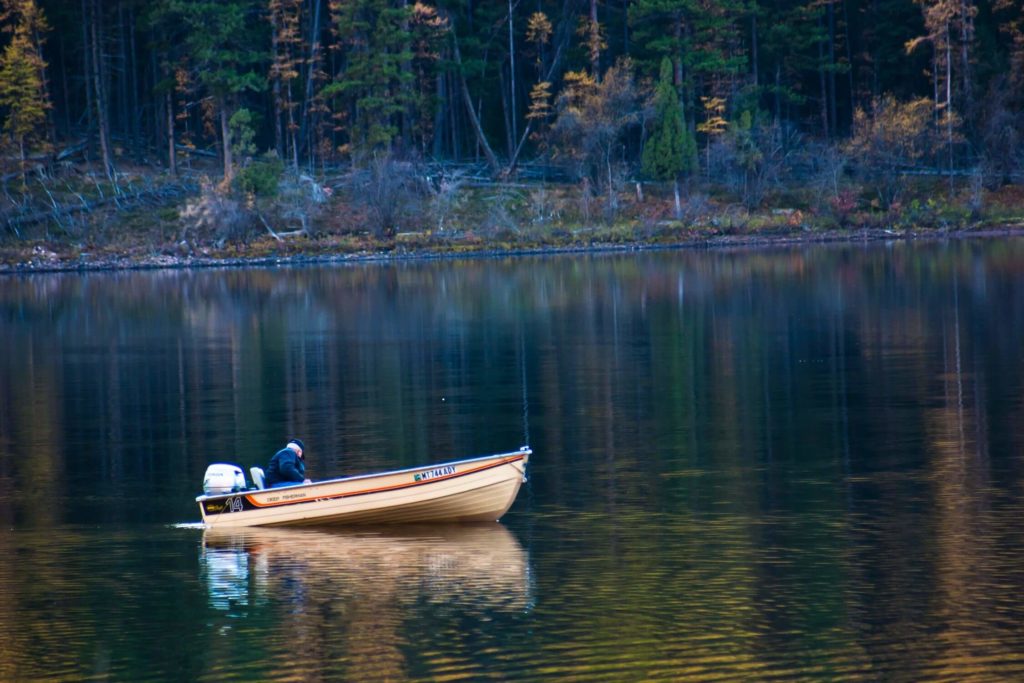
  • Fish in Salmon Lake or Clearwater River for a variety of trout, largemouth bass, white mountain whitefish, kokanee salmon, yellow perch and northern pike. 
  • Go birdwatching and see if you can spot any red-necked grebes, great blue herons, bald eagles, waterfowl, osprey or common loons. 
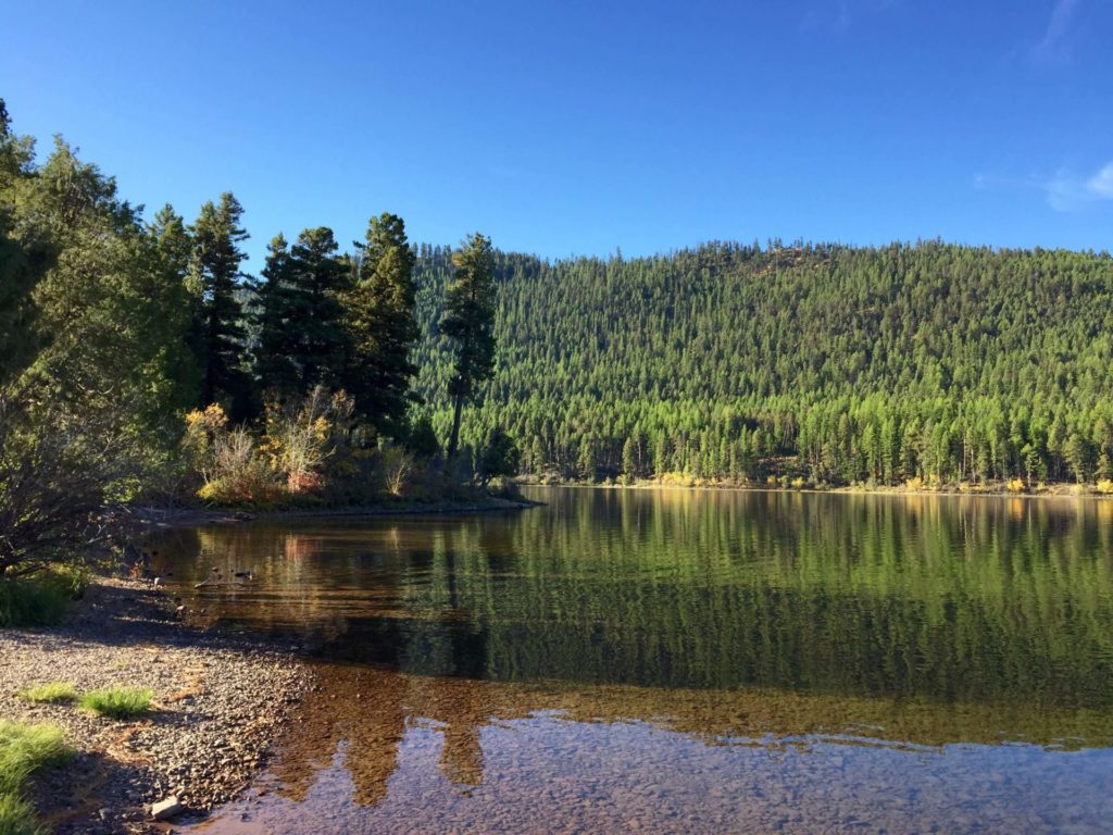
  • Enjoy the gravel beach and take a dip in the lake. 
  • Take a hike along the shoreline or through the forest on one of the many trails. 
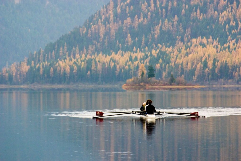
  • Enjoy the lake in a canoe, kayak or on water-skis if you’re a bit more adventurous. 
  • Plus so much more!

A beautiful forest of Western Larch, Ponderosa Pine, and Douglas-Fir surround the campsite, which includes 23 paved sites with electrical hookups.

The campsite host can provide ideas for activities and will have firewood for sale!

This campsite has become so popular in the last few years, reservations are recommended to be sure you don’t miss out!

Did You Know

Curious what other visitors have had to say about the park?

"I love this park. They have a couple of camp spots that right on the water and it's gorgeous. They also have some really nice spots that are up on a hill overlooking the lake with nature trails that lead to an island! There are even a couple of hiker/biker spots for $8 a night. Seriously, this is one of my favorite camp spots in the area."

"Great campground, nice camp host, amenities were what the website stated. Will be back!"

"Great lake to swim, paddle, and boat!"

"I’ve fished this lake probably around three hundred times and I just keep coming back. I fish mostly northern pike and it’s rare that I go home empty handed. The boat launch is above average and they’ve recently added a no swimming sign to the dock which is beneficial and safer for me as a boatsmen. There is a separate swimming area. It also has a covered area for picnics, clean restrooms, and amble parking for single cars."


Quick Facts
  • pine icon

    Park

    Summer Season
    Park open through the summer until late October.
     
    Winter Season
    Nov 1 - April 30
    Closed to all motorized traffic, walk-in only. Day-use only, no overnight camping.

  • pine icon

    Campground

    Open 5/1 through 9/30.

  • pine icon

    Day Use Area

    Open 5/1 - 11/30, weather permitting. November snow storms may close the area early.

  • pine icon

    Location

    2329 Hwy. 83 N Seeley Lake, MT 59868

Salmon Lake State Park Read More »
Placid Lake State Park

Placid Lake State Park

Placid Lake State Park

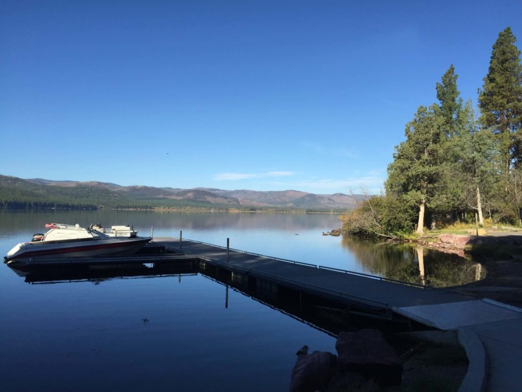
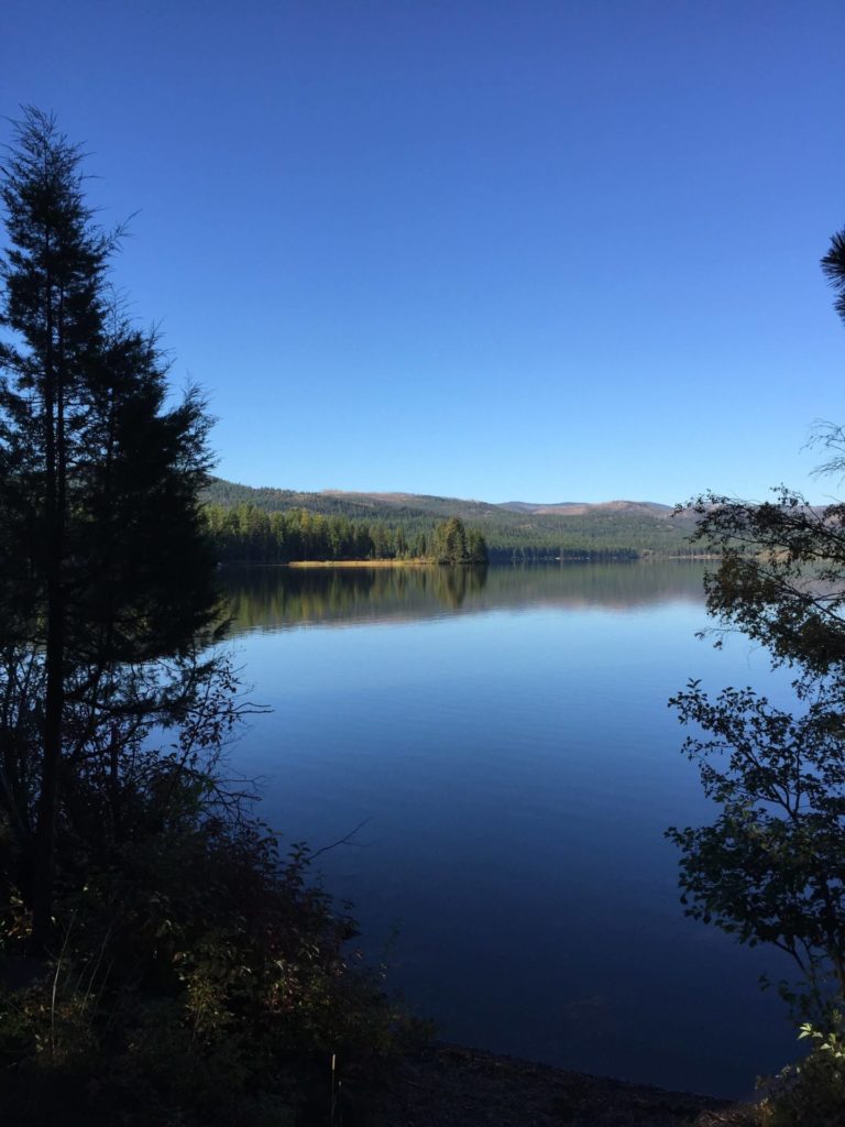
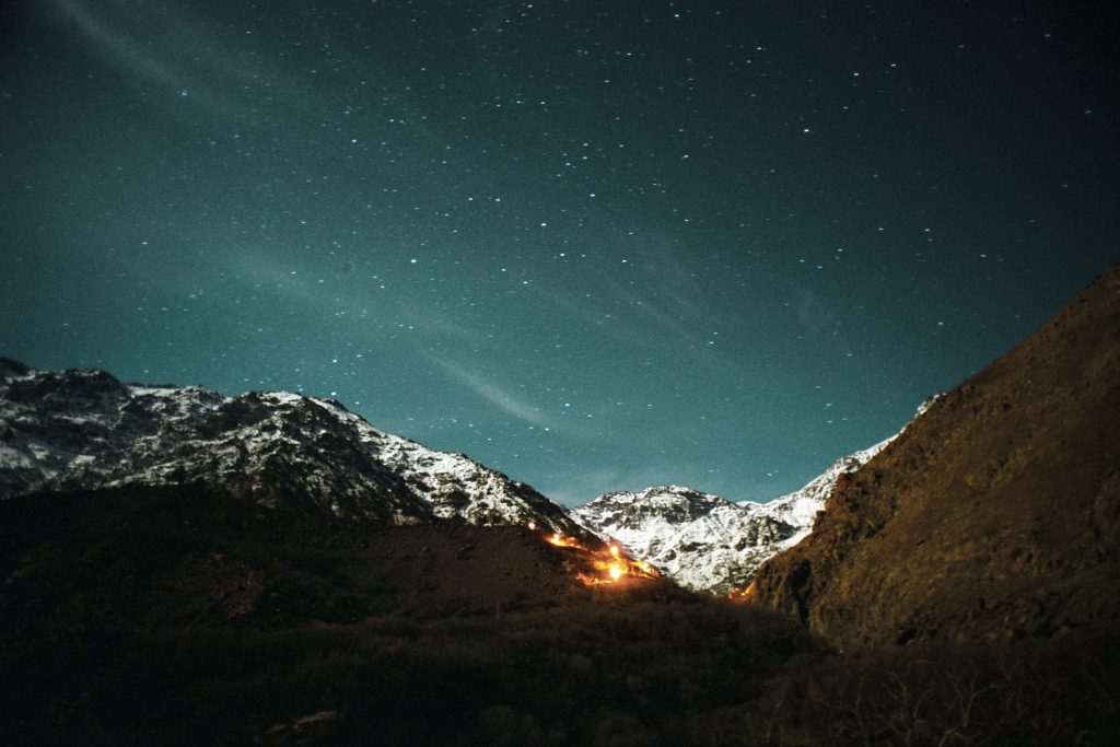
Placid Lake State Park is located outside of Missoula, MT near Seeley Lake, MT. Placid Lake State Park is open year-round with extensive outdoor recreation options in the summer months, including fishing, boating, hiking, and mountain biking – just to name a few.

We are able to bring you valuable information about this amazing state park thanks to the support of:

Placid Lake State Park
IMG_5965

Download Campsite Map

IMG_5966

Download Park Map

Looking to camp?

Lake Placid State Park is a great option if you’re looking to camp! With 40 campsites and recently added showers and laundry facilities, this state park provides a taste of the great outdoors without having to stray too far from the comforts of home. 

With over 40,000 visitors each summer, Placid Lake State Park is one of the busiest state parks.

  • Challenge your friends or family to a game of volleyball or horseshoes.
  • Spend the day on the water boating or swimming.
  • Take in a beautiful sunset over the lake. 
  • Go on a hike around the lake. 
  • Open Year-Round


The forest around the lake was once in logging territory and what were once roads used to haul trees and equipment are now used as hiking and mountain biking trails. You can learn more about the history of the area through the interpretive panels along the trails.

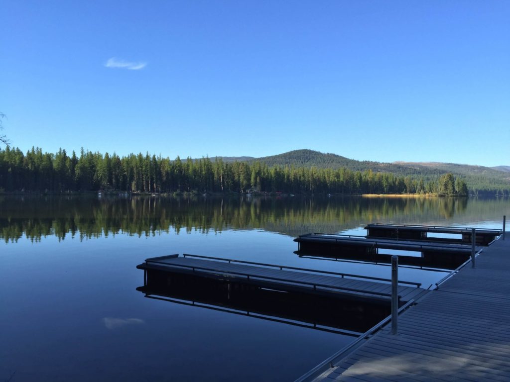
Planning to bring your boat? You can rent a boat slip on a first-come, first-serve basis.

Did you know the Montana State Parks Foundation’s specialty license plate is a painting of this state park by Missoula artist Monte Dolack, entitled “Placid Lake Sunset”?

And that every dollar from license plate sales help to fund the Foundation's work and is available at your local DMV anywhere in the state.

Did You Know

Curious what other visitors have had to say about the park?

"The lake was amazing, the surrounding area breathtaking and the road to get there was well maintained. The campgrounds were clean and so were the restrooms. I am already planning my next visit to Placid Lake."

"Pure heaven if you are looking for a place to boat, camp, hike, pick huckleberries, bike ride, or fish. Just a few ideas for an amazing getaway. The lake is beautiful, warm and not extremely large. You can pick huckleberries right off the main roads in the summer.. Go explore and visit this little gem in Montana."

"Really awesome state park campground. We'll definitely be back. Amenities are great including hot showers and clean facilities. The swim beach is great for young kids and the access to the lake is great."

"Beautiful park to kayak, picnic and swim."


Quick Facts
  • pine icon

    Park & Campground

    Summer Season:
    Open May 1 - Nov 30, weather permitting.
    Quiet Hours: 10pm-7am.
     
    Winter Season:
    December 1 - April 30
    Closed to all motorized traffic, walk-in only. Day-use only, no overnight camping.

Placid Lake State Park Read More »
Yellow Bay State Park

Yellow Bay State Park

Yellow Bay State Park

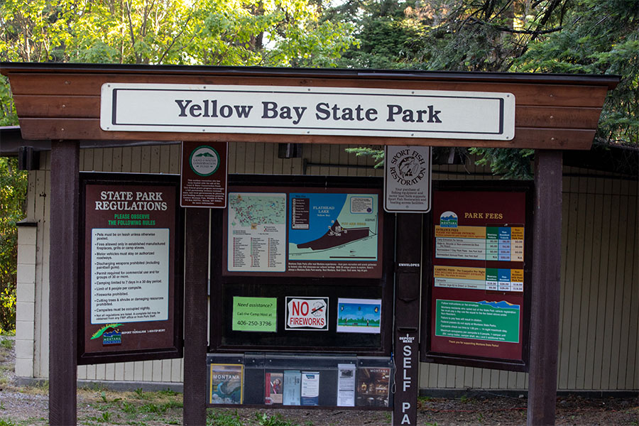
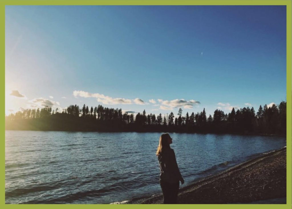
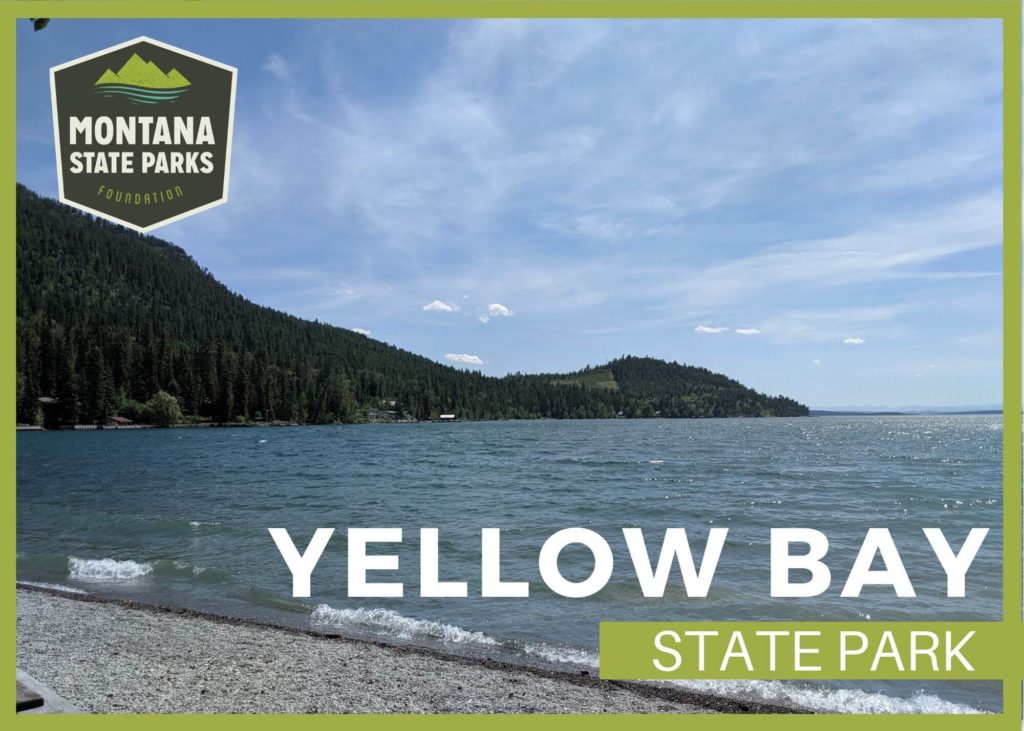
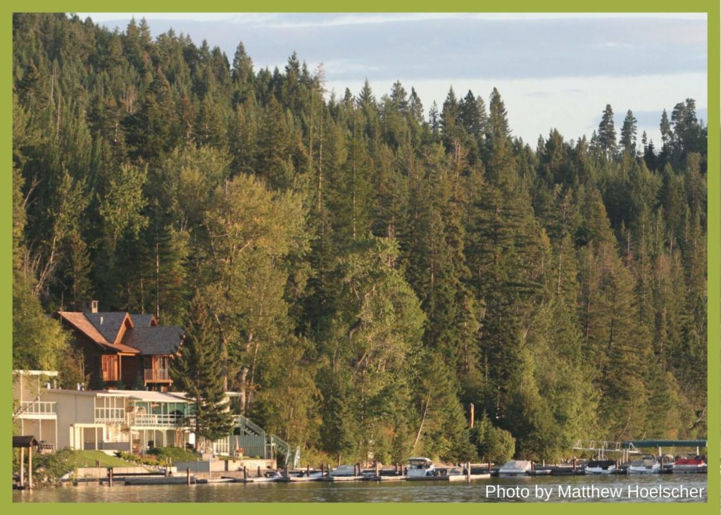
One of the six state parks located on Flathead Lake, Yellow Bay is an excellent destination for tent campers!

To get there, visitors will take a drive along the beautiful, winding MT HWY 35 amidst cherry, pear and apple orchards.

As you pass through, remember to stop and explore the local orchards. They offer fresh fruit as well as guided tours!

1
IMG_5965

Download Campsite Map

IMG_5966

Download Park Map

Looking to camp?

Regardless of the water level, boaters usually have no problems putting their boats in at Yellow Bay due to the steepness of its ramp. There are 5 tent campsites, and they are first-come, first-served, so be sure to arrive early to claim your spot!

Yellow Bay Creek flows through the park near the campsites, providing a peaceful sound of cascading water to fall asleep to.
The University of Montana has a renowned Biological station there.

They are the second oldest biological field station in the US and the oldest west of the Mississippi River. They have one of the oldest, contiguous lake data sets in the world.

  • pine icon

    Be on the lookout for birds and plentiful wildlife.

  • pine icon

    Spend a day on the open water boating, canoeing, kayaking or water skiing.

  • pine icon

    A joint tribal/state license will allow you to fish for lake trout.

  • pine icon

    Take a dip in the chilly water.

  • pine icon

    Take a look at what’s under the surface of the water and go scuba diving.

They are currently building an erosion-resistant beach on their portion of the property. They also offer regular community and family activities year round.

Don’t forget to grab fresh fruit from roadside stands or go picking at an orchard during the summer months!

Did You Know

Curious what other visitors have had to say about the park?

"Nice small park tucked away from the heavy traffic of some of the larger parks. Spacious boat launch and a large area to let your water dogs enjoy the lake. Lots of picnic tables- sun and shade. Free day use for Montana residents."

"Clean and cute campground with a camp host and lake access. Plenty of picnic tables and a picnic shelter. Bathroom was clean and stocked with TP and soap."

"Very nice park facing south. We had sun all day. Park Host was very helpful and doing a great job of keeping up with the park. Restrooms had running water and they were clean! No showers but was a hose to wash off after swimming, a must in late summer when swimmers itches is more common. No kids toys but water, rocks, small creek, plenty to do. Enjoyed it very much!"

"Best campground at the lake's shore. Good boat ramp and plenty room to tie boats to shore."


Quick Facts
  • pine icon

    Park

    Open Year-Round

  • pine icon

    Campground 

    Open (Tent camping only; first come, first served)

  • pine icon

    Water

    Available mid-May through Labor Day

  • pine icon

    Flush Toilets

    Open mid-May through Labor Day

  • pine icon

    Dock

    Normally, available mid-March through November, weather permitting. For status please visit our Facebook page or call Flathead Lake State Park Ranger Station, 406-837-3041

    For waves & wind forecast, check NOAA Graphical Flathead Lake Forecast

  • pine icon

    Location

    23861 MT HWY 35 Bigfork, MT 59911

Yellow Bay State Park Read More »
Skip to content