Central Montana

Maria’s River State Park

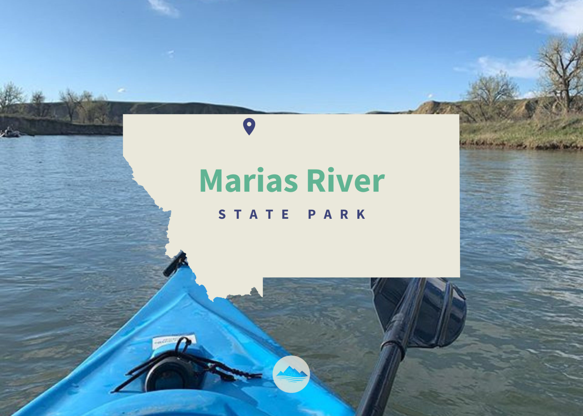
Marias River State Park

Marias River State Park

To get to there from I-15, take exit 358 and head east on Marias Valley Road North for 3.5 miles. Then turn west on Hjartarson Road and travel for 10.2 miles, then turn south for 2.5 miles.

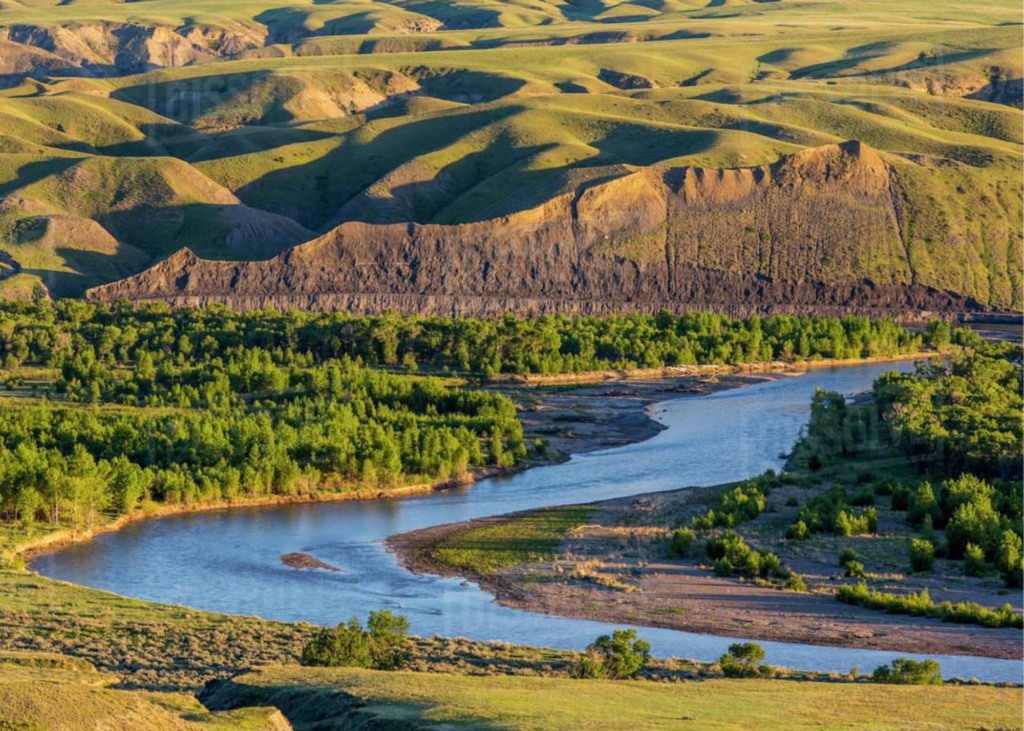
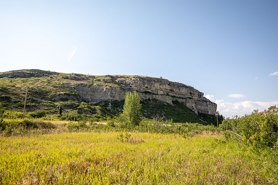
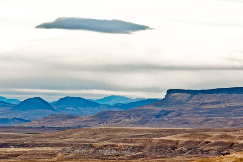
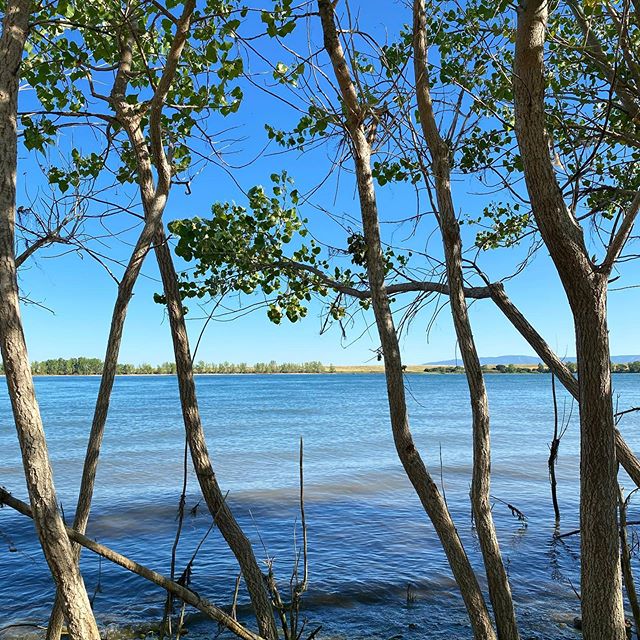
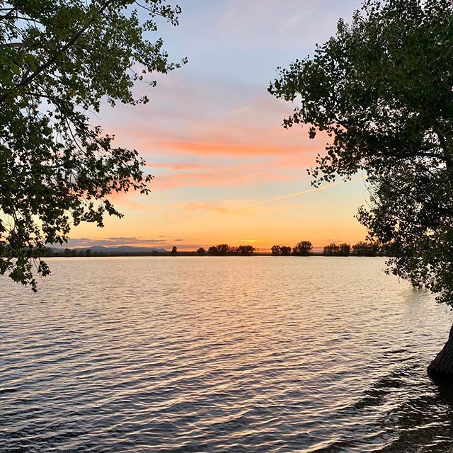
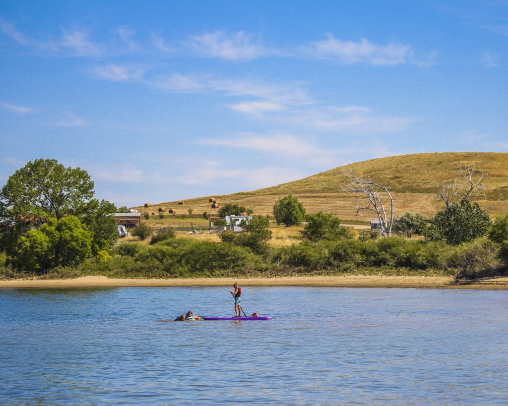
This 5,845-acre property, a combination of state park, and wildlife management area was established May 1, 2009. The site includes an undeveloped 14-mile stretch of the Marias River, as well as sagebrush, grassland, and short grass prairie habitats in the uplands.

Non-motorized access only. Respect private property, do not trespass. Rules prevent discharge of weapons except for lawful hunting during established hunting seasons. Pack it in and pack it out. No facilities are offered at this time.
Marias River State Park

Park Activities

Park Features

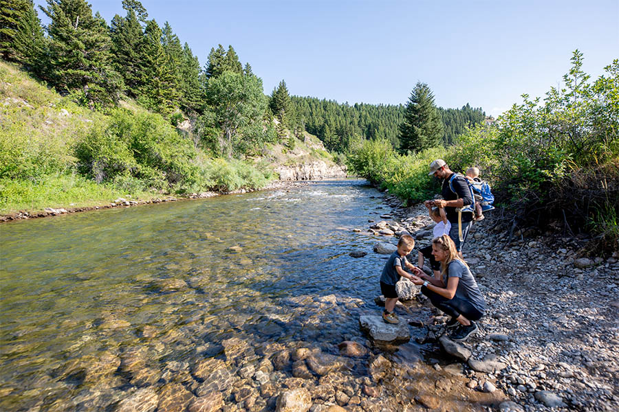
The Marias River flows through the Wildlife Management Area for 13 miles.

When FWP bought the land, officials believed an existing road on the east side of the WMA would provide access to the river and interior of the state park. However, an adjacent landowner disputed FWP plans and stated that the road was not public.

The landowner and FWP went through a formal mediation process, and FWP proposed transferring approximately 483 acres of the WMA to the landowner in exchange for public recreational access on Lincoln Road. In November 2015, the Fish and Wildlife Commission voted down the road proposal, leaving the State Park and Wildlife Management Area without vehicle access to the river.

Montana Fish, Wildlife and Parks purchased the 5,485-acre Wildlife Management Area in 2008. A 1,878-acre state park sits next to it.

The land was previously owned by Charlie Lincoln and known as the Lincoln Ranch. When Lincoln died, he left his ranch to the Catholic Diocese of Montana with instructions to give FWP the first right of refusal if the diocese decided to sell the land.

FWP paid $2 million for the state park portion of the land, funded through a one-time appropriation from the 2007 Legislature, and $5.6 million for the WMA portion thanks to Habitat Montana funding.

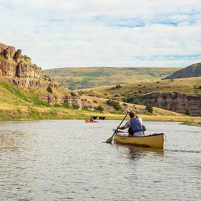
The Marias River is void of any technical whitewater. It's an easy float, even for someone with minimal experience.

It provides an easy two-date float.

Did You Know

Curious what other visitors have had to say about the park?

"Beautiful, spacious, peaceful and fun!"

"It's beautiful here & I heard the fishing is good."

"The only state park in the middle of MT. Nice cottonwoods surround good size lake. Camp spots on the far side are more private and shaded in the afternoon. Beautiful prairie views."


"It is a fun place to hang out for the weekend. Great for fishing year-round."


Quick Facts
  • pine icon

    Park

    Open
    Apr 1 to Jan 15

  • pine icon

    Location

    From I-15, Exit 358 east to Marias Valley Road, North 3.5 miles, turn west on Hjartarson Road, for 10.2 miles, then south 2.5 miles.

Maria’s River State Park Read More »

Smith River State Park

Smith River State Park

Smith River State Park

Smith River State Park

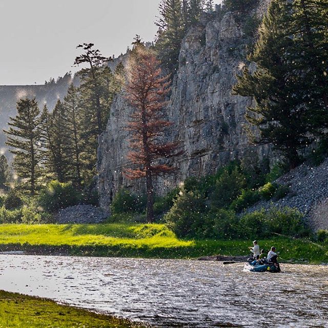
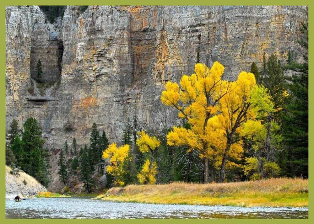
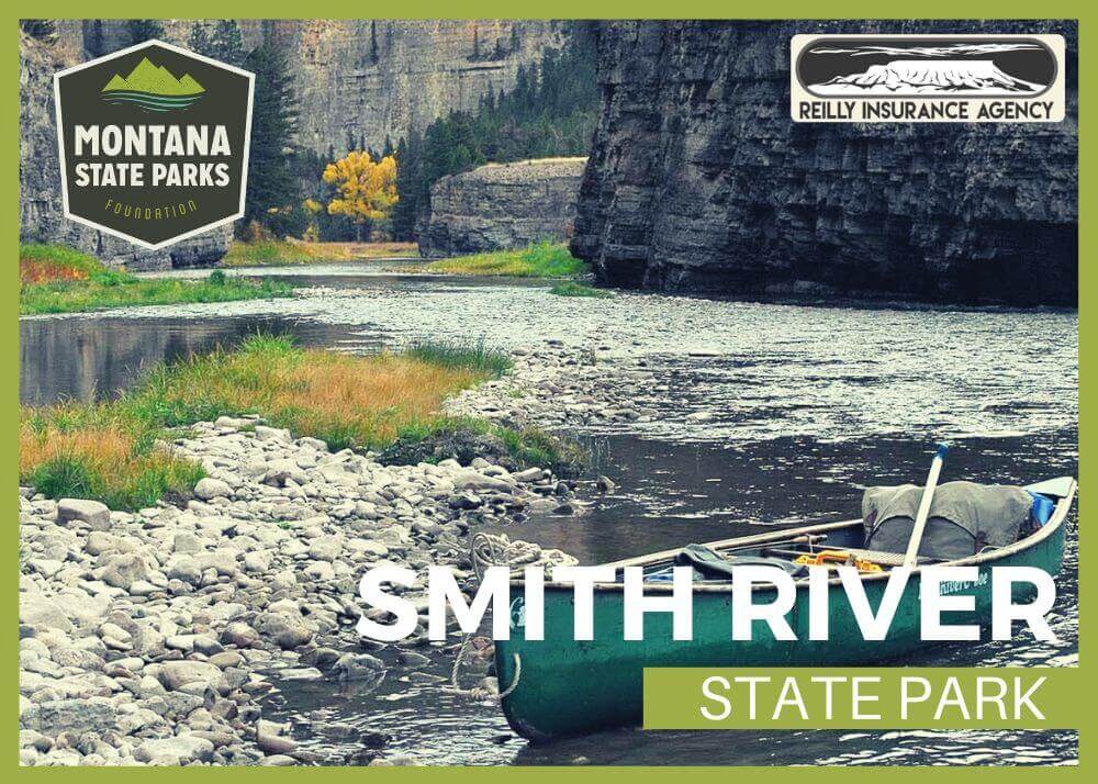
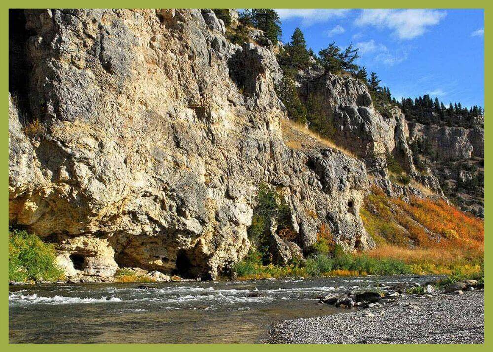
The Smith River is mostly known for being a wonderful 59-mile long river full of natural beauty, with great boating, fishing, and photographic opportunities.

Smith River State Park
IMG_5965

Download Campsite Map

IMG_5966

Download Park Map

Looking to float?

Permits to float the river are highly sought after and distributed through a lottery system similar to hunting licenses for certain big game species in Montana.


If you weren't lucky enough to win a permit during the annual lottery system, you can still enjoy the Smith River by visiting Camp Baker west of White Sulphur Springs or Eden Bridge 59 miles downriver and just short drive south of Great Falls.

At Camp Baker, you'll find a campground with primitive campsites, latrine facilities, and a busy boat ramp for the lucky folks who won launch permits.

After the floating parties have launched for the day Camp Baker becomes quiet for a few hours and visitors will enjoy great access for fishing, birdwatching, and even swimming in the summer months.

At the other end of the park is Eden Bridge, the normal take out for Smith River float trips. Eden Bridge is a minimally developed day-use site with latrine facilities, a boat ramp, and day-use access to the river.

While there are few amenities at Eden Bridge, it does make for a nice day trip destination from Great Falls where visitors have a chance to spend time on the banks of one of Montana's most iconic waterways. The float season varies widely depending on snow-pack, rainfall and the amount and timing of irrigation.

The “typical” float season runs from mid-April through mid-July, with occasional floating opportunities in September and October.

Many find Smith River State Park a place of peace because a permit is required to float the Smith River. This permit requirement means visitors can expect to have a quality, multi-day float with relative solitude and excellent trout fishing opportunities.

Of course, you don't need a permit to access the campground and enjoy all the natural splendor of the area.

Did You Know

Curious what other visitors have had to say about the park?

"Lots of fun things to see and imagine. Have fun exploring, we did."

"My favorite vacation to date."

"The trip was absolutely perfect for our honeymoon! Protect the Smith!"

"Luckily we can still do this, best therapy around!"


Quick Facts
  • pine icon

    Park

    Open Year-Round

  • pine icon

    Location

    791 Clear Range Road White Sulpher Springs, MT 59645

Smith River State Park Read More »

Sluice Boxes State Park

Sluice Boxes State Park

Sluice Boxes State Park

Sluice Boxes State Park was created in 1974 and included significant historic structures and remnants of the abandoned towns of Riceville and Albright that once existed for the purpose of mining limestone in the canyon.

Belt Creek which formed the canyon that is the centerpiece of the park, has long been popular for outdoor recreation. Citizens of nearby Great Falls began visiting the area for fishing, camping, hunting and other activities as early as 1889 when the railroad connecting silver mines in the Barker and Hughesville mining districts to smelters in Great Falls was completed.

Sluice Boxes State Park
IMG_5965

Download Campsite Map

IMG_5966

Download Park Map

Things to do:

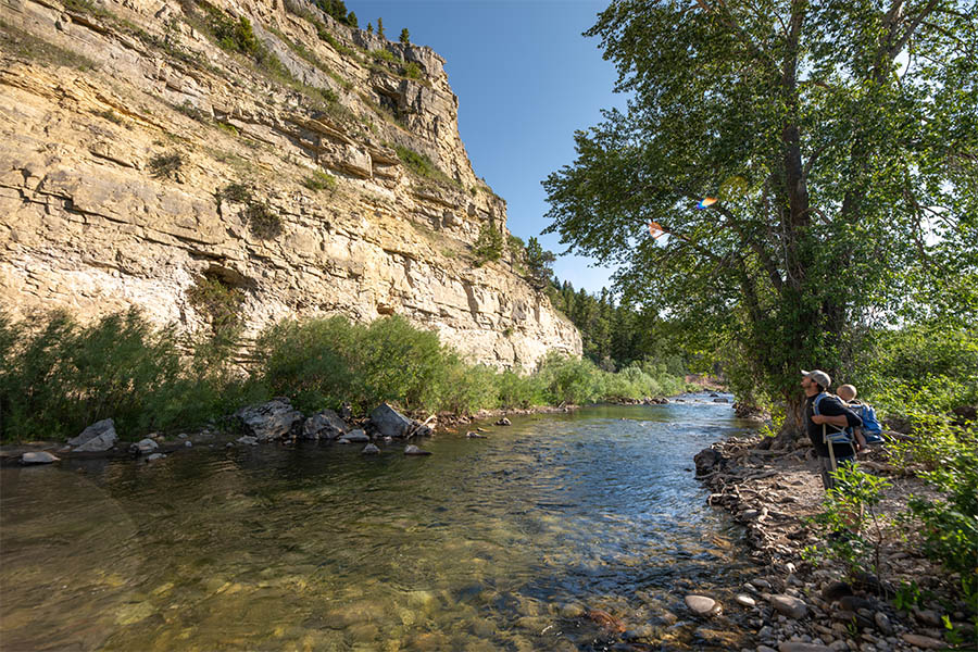
The park is now popular with local visitors, history enthusiasts, fishermen, hikers, and others. The rugged landscape creates dramatic scenery as it contrasts distinctly with the rolling hills and rounded mountains of this part of central Montana.

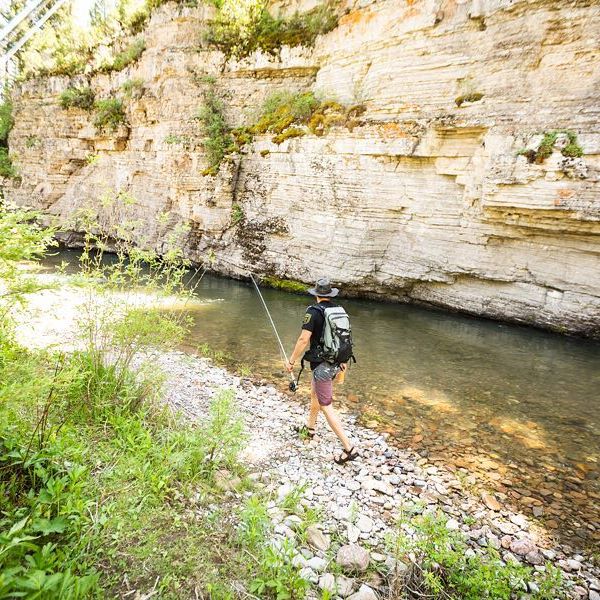
A walk down the old railroad grade trail will bring you to fishing access, floating, swimming and wildlife viewing. Be aware: steep cliffs, rugged terrain and cold, swift water can pose a risk to visitors, so be sure to take caution!

If you’re looking to camp, you’ll need a Backcountry Campsite Permit. You can contact Montana Fish, Wildlife and Parks headquarters in Great Falls to do so.

The Barker Mines and the Montana Central Railroad are part of the history of Sluice Boxes State Park.
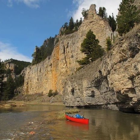
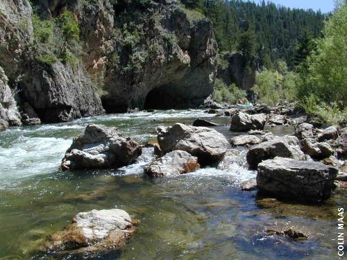
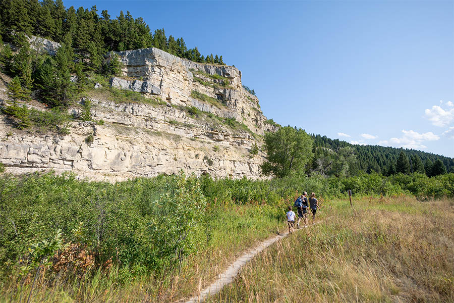
Carved by Belt Creek as it comes down from the Little Belt Mountains, the large limestone cliffs and steep ledges are the signatures of Belt Creek Canyon.

By September of 1890, the Central Montana Railroad dropped off fisherman at various locations along Belt Creek in what is now Sluice Boxes State Park. When Belt Creek was named a blue ribbon trout stream in the 1920s, the railroad ran special “fishing trains” on Sundays.

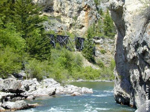
This area was once home to prospectors searching for precious metals, miners, muleskinners, smelter men and railroaders building bridges. Today, visitors can find the remnants of mines, cabins and a railroad along the banks of Belt Creek in the park.

Did You Know

Curious what other visitors have had to say about the park?

"We stop every trip because the view is gorgeous no matter what the season."

"Beautiful place. Be prepared if you plan on hiking the trail. Lots of river crossings."

"A great place to hike if you don't mind crossing the river several times. It is best to go in the late summer when the river is at its lowest point so that you can cross safely. There is an old homestead to explore as well."

"Family & pet friendly hike. Beautiful for pictures and swimming. There is a spot where you can do a cliff jump into the lake."


Quick Facts
  • pine icon

    Park

    Open all year
    Parking area/ trailhead open sunrise to sunset.

  • pine icon

    Campground

    Backcountry open 24/7

    Permit required

  • pine icon

    Location

    38 Evans Riceville Road Belt, MT 59412

Sluice Boxes State Park Read More »
Tower Rock State Park

Tower Rock State Park

Tower Rock State Park

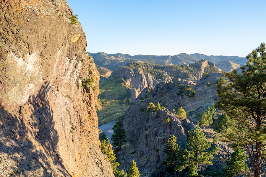
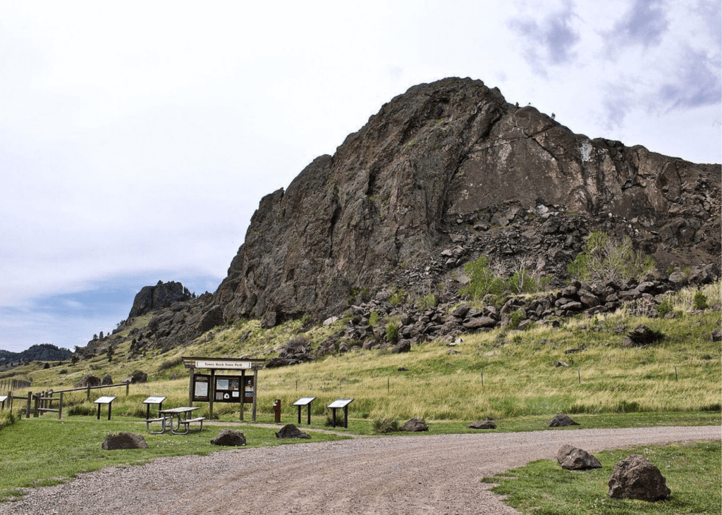
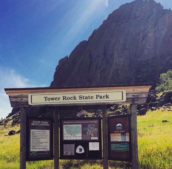
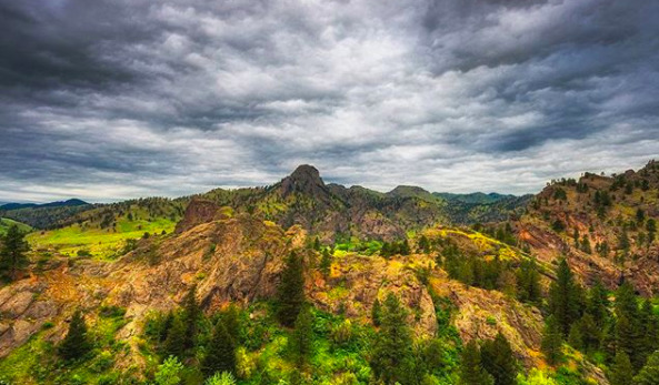
Tower Rock, a 424-foot high rock formation that marks the entrance to the Missouri River Canyon in the Adel Mountains Volcanic Field.

Tower Rock State Park
IMG_5965

Download Campsite Map

IMG_5966

Download Park Map

Want to learn more about the park?

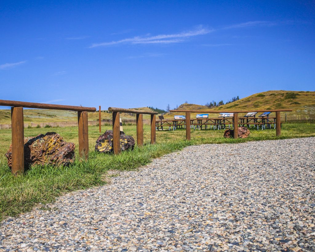
Visitors can learn about geology and history through five interpretive panels located at the trailhead. The trail to the base of the saddle is maintained for a quarter-mile and if you plan to hike this short trail, be sure to keep your eyes open and listen for rattlesnakes!

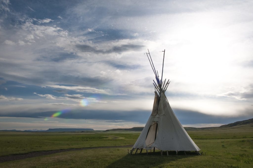
This day use only park was once used by Native American tribes to mark the entrance to and exit of the buffalo hunting grounds in north central Montana.

Did You Know

Curious what other visitors have had to say about the park?

"The maintained portion of the trail was fabulous. If you go further be sure you have a map from all trails. We couldn't quite figure out the summit, but we had a lovely time. The views are incredible and my 8 and 10 year olds loved it. The pup was exhausted, but he did well, too. Perfect hike near the Missouri River!"

"Great scenery, excellent place for a small hike."

"It is majestic. Volcanic origins. I found seashells when I sat down on the trail and touched the dirt I was sitting on. Makes you think."

"Love hiking Tower Rock. Beautiful scenery!"


Quick Facts
  • pine icon

    Park

    Open Year-Round

  • pine icon

    Location

    2325 Old US HWY 91 Cascade, MT 59421

Tower Rock State Park Read More »
Giant Springs State Parks

Giant Springs State Park

Giant Springs State Park

Giant Springs State Park

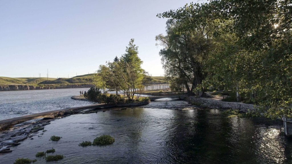
Located just outside of Great Falls lies Giant Springs State Park.

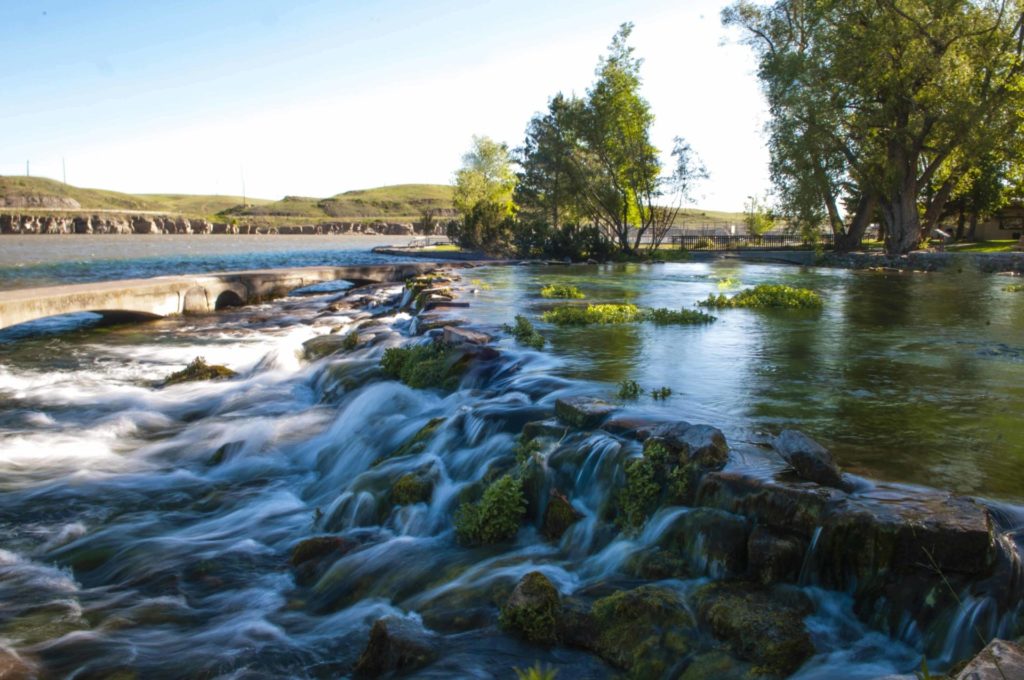
Originally discovered by Lewis & Clark in 1805, Giant Springs is one of the largest freshwater springs in the country.

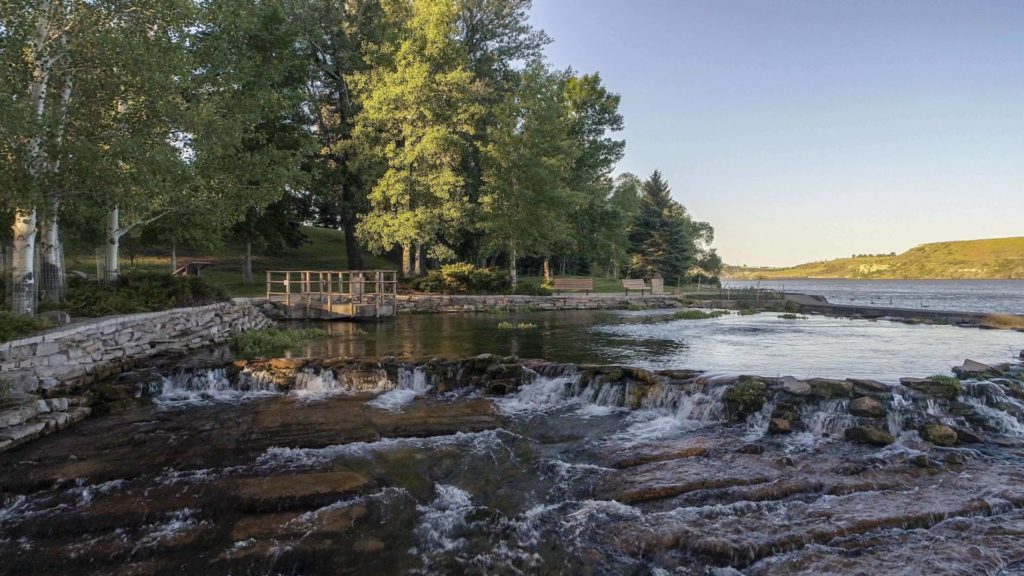
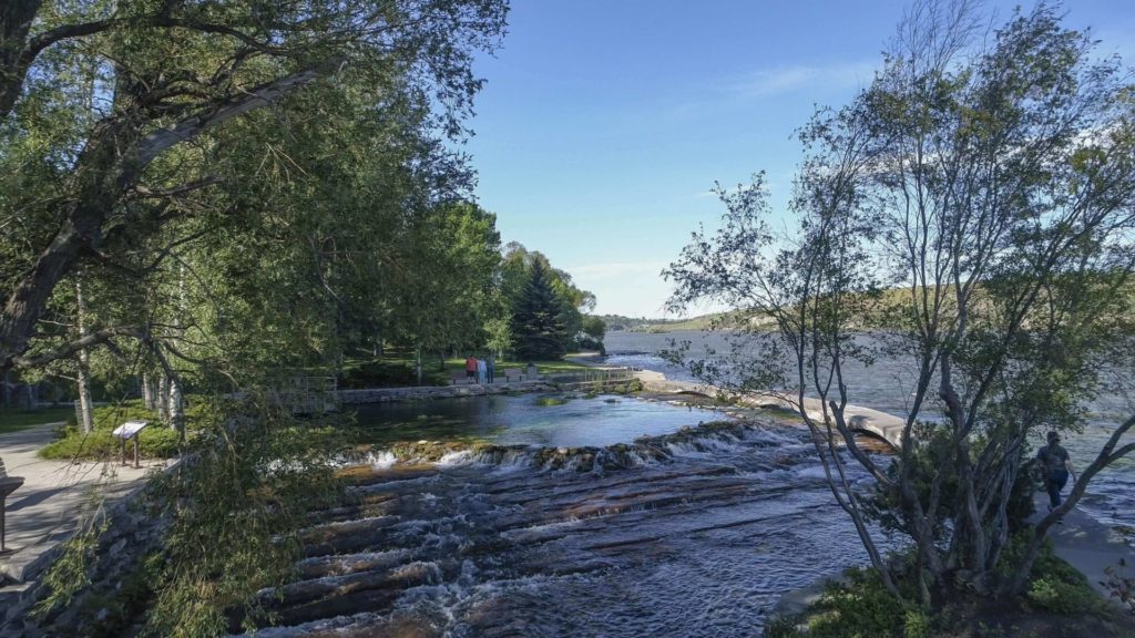
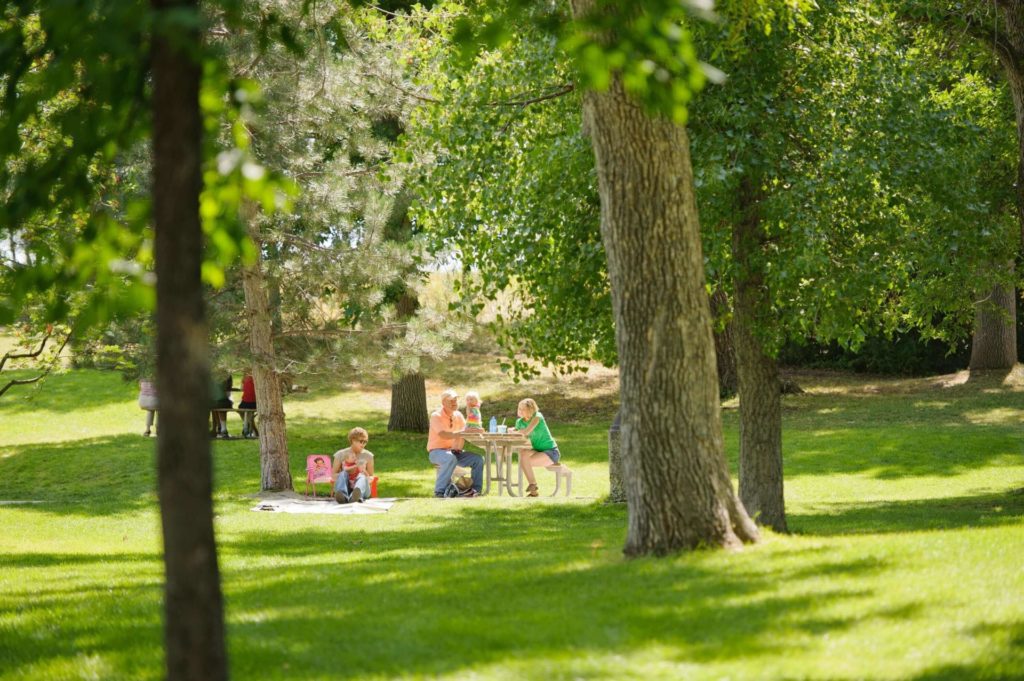
Come marvel at this day-use park's remarkable features and view the variety of birdlife. Take part in their special events, picnic by the Missouri River, visit the fish hatchery and visitor center, walk along the Rivers Edge Trail, view the nearby Rainbow Falls overlook, or visit the neighboring Lewis and Clark Interpretive Center operated by the U.S. Forest Service.

Giant Springs State Park
IMG_5965

Download Campsite Map

IMG_5966

Download Park Map

Things to do:

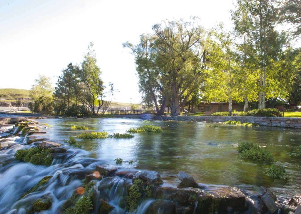
The spring flows at a rate of 156 million gallons of water per day and is always 54 degrees Fahrenheit! Multiple bridges cross the crystal clear water that makes up Giant Springs, allowing visitors to peer in and see the growing vegetation and even an occasional fish!

While you won’t find any camping at Giant Springs State Park, you won’t find the park lacking in activities! The Roe River (also found in Giant Springs State Park) was once listed in the Guinness Book for World Records as the world’s shortest river!

  • Visit the fish hatchery and visitor center.
  • Take a walk on the Rivers Edge Trail.
  • Go on a hike along the many trails hugging the Missouri River.
  • Take in the Rainbow Falls at the overlook.
  • Visit the Lewis and Clark Interpretive Center, located nearby and operated by the U.S. Forest Service.

The water found in Giant Springs comes from the Madison Aquifer under the Little Belt Mountains. Because the water stays around 54 degrees year-round, Giant Springs State Park is great to visit regardless of the season!

In the winter, the steam rises off of the unfrozen water and birds flock around the warm water, while in the summer, the park is, on average, 20 degrees cooler than the nearby city of Great Falls.

Did You Know

Curious what other visitors have had to say about the park?

"Absolutley beautiful place top visit. Especially during spring and summer time. Trail access is easy from here and is a must see for anyone paying through or visiting."

"This is by far the best park in Great Falls and has a lot of good history posted around the park. There is a very clear natural spring, a playground for the kids, lots of barbecues and picnic areas. Just don't leave a mess like some of the tourists do.. throw your trash away and keep this place looking nice."

"Turned out to be a great Sunday to visit the park. Sun was shining, no wind, 38 degrees out but it felt great. Picnickers we're about. Nice "museum" for the hatchery. Got to feed some really big rainbow trout."

"This is a must see attraction if you visit Great Falls. The trout hatchery, the kids pond, the amazing views, and excellent fishing right from the park. We had our engagement photos done here as well. Bring a picnic lunch and spend the day."


Quick Facts
  • pine icon

    Park

    DAY USE ONLY
    Open all year
    Sunrise - Sunset

  • pine icon

    Location

    4803 Giant Springs Road Great Falls, MT 59405

Parks That Others Are Visiting

Giant Springs State Park Read More »
First Peoples Buffalo Jump State Park

First Peoples Buffalo Jump State Park

First Peoples Buffalo Jump State Park

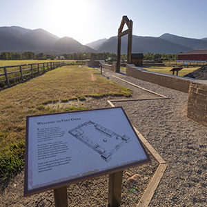
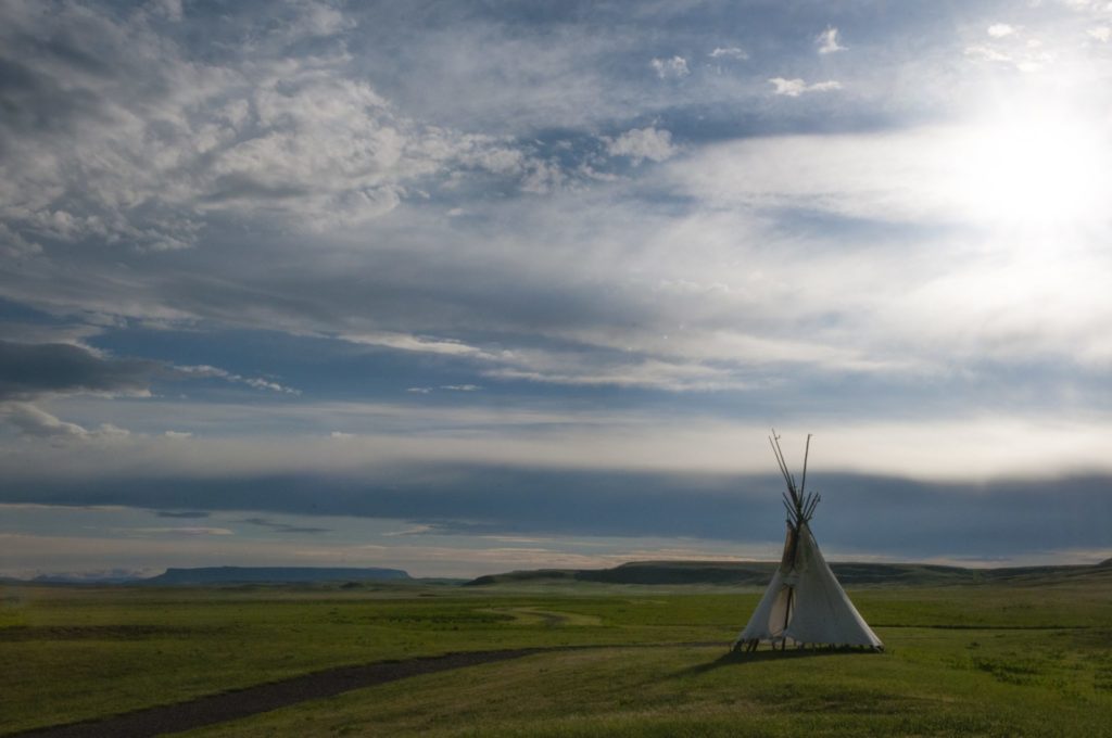
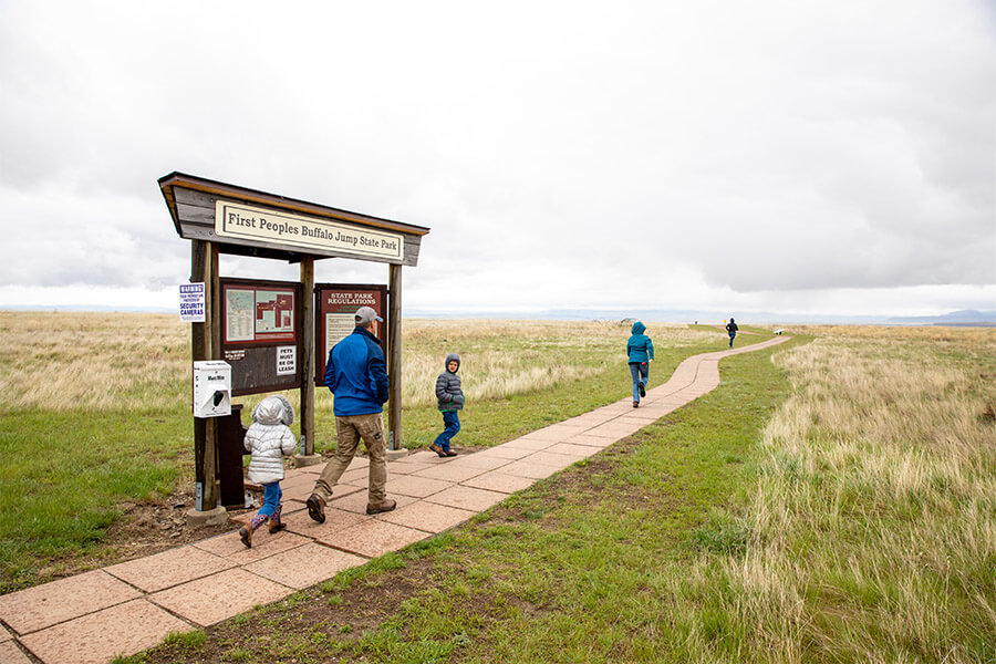
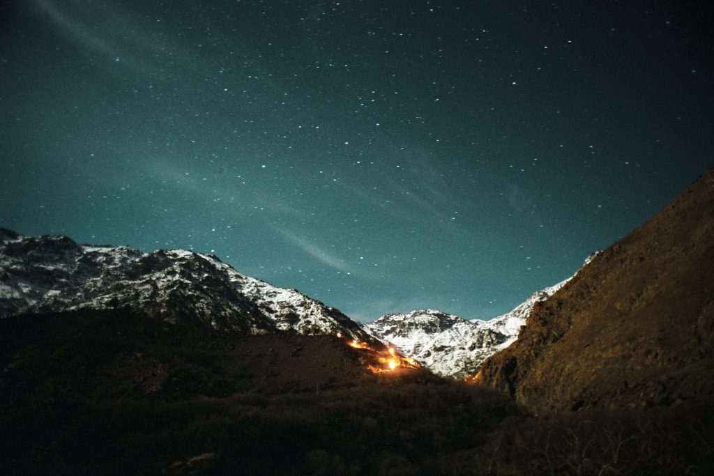
Located South of Great Falls and just outside of Ulm, First Peoples Buffalo Jump is one of the largest buffalo jumps in the United States and is known in the archeology community as the most significant buffalo jump in the world! Evidence suggests that this site, also known as the Ulm Pishkin, may have been the most frequently used buffalo jump in the world.

First Peoples Buffalo Jump State Park
IMG_5966

Download Park Map

Park history

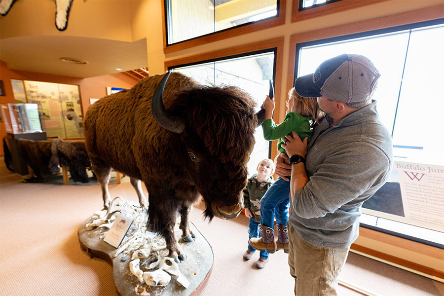
A 6,000 square foot Visitor Center helps to pay homage to both the buffalo and the Native American’s who honor it. Inside you’ll find buffalo culture exhibits, a circle for storytelling, a classroom, a gallery, and a bookstore!

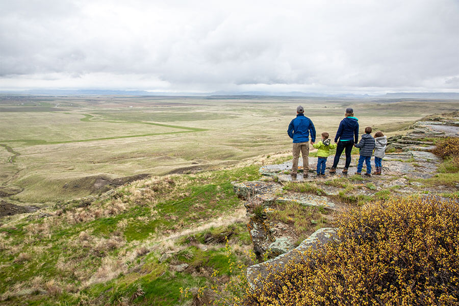
Outside the Visitor Center are an outdoor amphitheater and even a few traditional games playing fields. The cliffsides now offer up amazing views to visitors from all over the world.

At the base of the cliff, you can see 18 feet of compact buffalo remains, but it can be difficult to make out distinct items like skulls or other bones after so many years. The original name of the park “Ulm Pishkin” comes from the Blackfeet word "Pis'kun," meaning "deep kettle of blood”. The mile-long cliff ranges from 30 to 50 feet in height, any higher and meat may have been damaged and unusable. Of the over 300 buffalo kill sites in Montana, First Peoples Buffalo Jump is one of only three that are protected.

Native tribes would stampede herds of bison off the cliff and collect the remains below. Bison meat served as a main staple in the early Native American diets of the region. While this form of hunting was very popular and safe compared to the alternatives it was not the most common.

Ambush killing, where the hunters would sneak up to the animal before attacking, was the most frequent way for them to provide food, tools, and clothing to their families. It was very dangerous due to the size and strength of the animal. Because of this many of these sites are considered sacred. Ambush hunting became less and less utilized as the horse came onto the scene, allowing hunters to keep pace with the bison and guide them more effectively to sites like this and eventually as they began breeding horses even the buffalo jump became obsolete. Giving way to mounted hunters who could chase, kill, and carry back the precious remains.

The most accepted theory as to the use of “Buffalo Jumps” has the hunters slowly encircling the herds and pushing them towards the area. It could take hours if not days and was very dangerous.

As the herds would draw closer and closer to the cliffs they would be guided to a specific spot by others using low fences made of twisted vines and large rocks. These “Drive Lines” can still be found today. They sometimes extended over a quarter of a mile away.

Once the Buffalo had reached their holding spot the hunters would approach, sometimes wearing wolf pelts and sneaking on all fours, and when the time was right they would jump up shouting and making loud noises creating a stampede.

The fastest and bravest of the hunters, called “Buffalo-Runners” would dance in front of the herds leading them over the cliff. Often jumping to a safe spot just below the ledge.

After the herd had gone over or dispersed the women, children, and elders would move through the aftermath killing any that may have survived and then processing and harvesting as much of the animal as possible.

Plan to spend at least two hours at First Peoples Buffalo Jump to make time for the many activities!

*Notice!: Due to recent world-wide events Visitors Centers, Regional Offices, Ranger Stations, Campgrounds, and other facilities including many restrooms are now closed to the public. MT FWP is monitoring the situation and making changes to their policy on a rolling two week basis.

Years after the area was settled it became a cattle ranch and eventually mining area. Eventually, in the 1950s the bone itself began to be mined before a local rancher named Earl Monroe leased the land to protect it from further destruction.

Earl kept the land off-limits to the public while under his care. The land went through many hands and many legal battles over the years before finally coming under the protection of the state in the late ‘90s and becoming a full-fledged state park in the year 2000.


Did You Know

Curious what other visitors have had to say about the park?

"The museum itself was extremely neat and clean. It's a small establishment that you can tour yourself - which I LOVED! The 2 guides were helpful and answered any questions that we had regarding the jump. I would absolutely suggest this place to anyone visiting the Great Falls area."

"What a piece of history we knew nothing about. Fascinating and then taking the drive to the cliffs I couldn't imagine running ahead of a herd of buffalo and at the last minute jumping over the edge to safety. This park is definitely worth a visit. Make the time."

"Great history and amazing views of the valley. A great 1 mile hike up to the buffalo jump cliff, or take the road around the other side of you don't want to hike it. Restroom is available in the visitors building and near the cliff."

"What a great place to see. It is so peaceful and tranquil. I enjoyed it so very much."


Quick Facts
  • pine icon

    Park

    Summer - open daily.
    Winter - open Wednesday through Sunday.

  • pine icon

    Summer Hours 

    April 12 - September 12: open 8 am - 6 pm daily.

  • pine icon

    Winter Hours

    Sept. 14 to March 31:
    10 am - 4 pm Wed - Sat and 12 pm - 4 pm Sun.
    Closed Monday and Tuesday.
    The gates at the top of the Jump may be closed during times of deep snow.

  • pine icon

    Location

    342 Ulm -Vaughn Rd. Ulm, MT 59485

First Peoples Buffalo Jump State Park Read More »
Ackley Lake State Park 2

Ackley Lake State Park

Ackley Lake State Park

Ackley Lake State Park

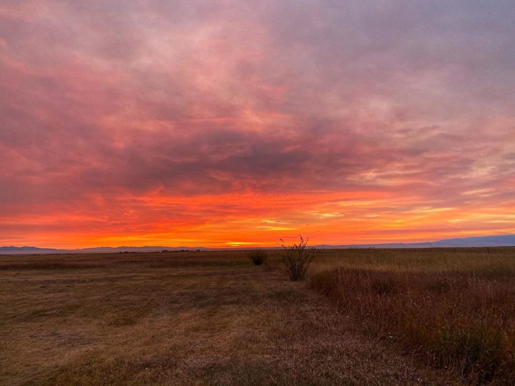
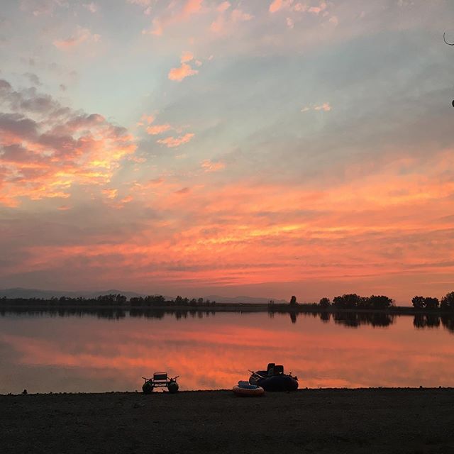
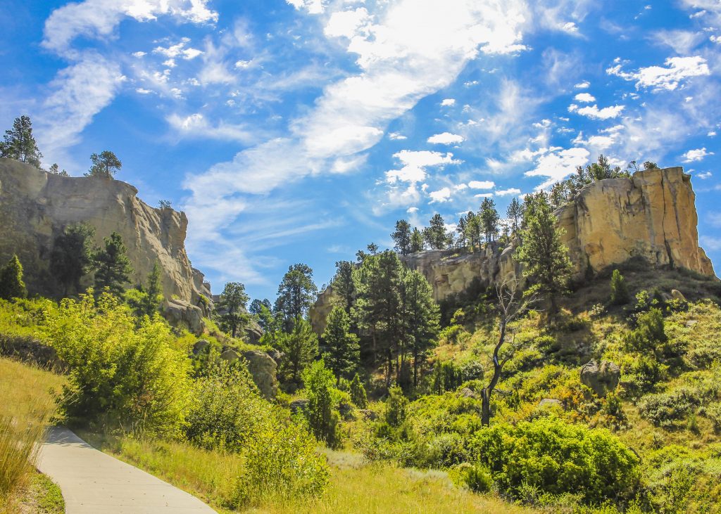
Just southwest of Hobson, you’ll find Ackley Lake State Park. Surrounded by the Little Belt and Snowy Mountains, Ackley Lake is an incredibly beautiful destination.

Ackley Lake is nestled right in the heart of Montana's Big Sky Country. One glimpse and you'll easily understand how the beautiful views of the surrounding Little Belt and Snowy Mountains and rich agricultural land captured the heart of the legendary Western artist, Charlie Russell, a hundred years ago.

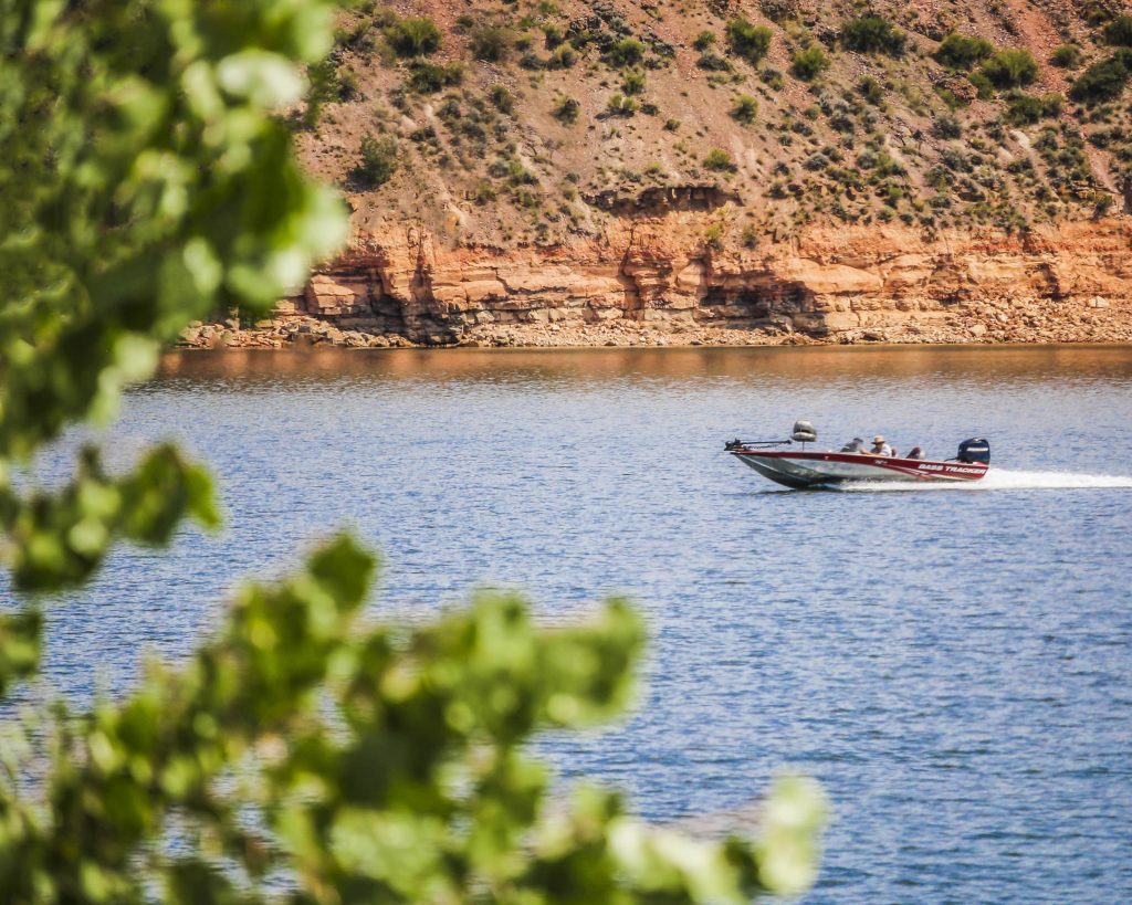
Today, the diverse water recreation opportunities at this 290-acre park include fishing, boating, picnicking and camping.

Stocked with rainbow trout, the lake is often good angling for 10 to 15-inch fish. Ackley Lake has 15 first-come-first-served campsites (cannot be reserved), and two boat launches.

On a warm summer day, enjoy the cool waters of Ackley Lake on Montana's open plains!

If you visit Ackley State Park in the winter, you’ll find a small village of ice huts filled with ice fishers!

Ackley Lake State Park
IMG_5965

Download Campsite Map

IMG_5966

Download Park Map

Looking to camp?

Ackley Lake has 15 sites all of which have fire rings and picnic tables, 12 sites also have shelters covering the picnic tables!

New campsites will be opening very soon!

The Ackley Lake Fishing Club in Lewistown is very active in the park. Check them out on their Facebook page.

Yogo Sapphire mine is nearby in Little Belt Mountains. The Yogo Sapphire is a beautiful blue sapphire that maintains it's brilliance even under artificial light. You can find out more about them on Wikipedia.

Visiting the area? The Oxen Yoke Inn, in nearby Utica serves one of the best burgers in the state. Read more about it here!

The water in Ackley Lake comes from the Judith River and is stockpiled for irrigation use!

Did You Know

Curious what other visitors have had to say about the park?

"Beautiful, spacious, peaceful and fun!"

"It's beautiful here & I heard the fishing is good."

"The only state park in the middle of MT. Nice cottonwoods surround good size lake. Camp spots on the far side are more private and shaded in the afternoon. Beautiful prairie views."


"It is a fun place to hang out for the weekend. Great for fishing year-round."


Quick Facts
  • pine icon

    Park

    Open Year-Round

  • pine icon

    Campground

    Open Year-Round

  • pine icon

    Potable water

    No potable water available

  • pine icon

    Location

    989 Ackley Lake Road Hobson, MT 59452

Ackley Lake State Park Read More »
Skip to content