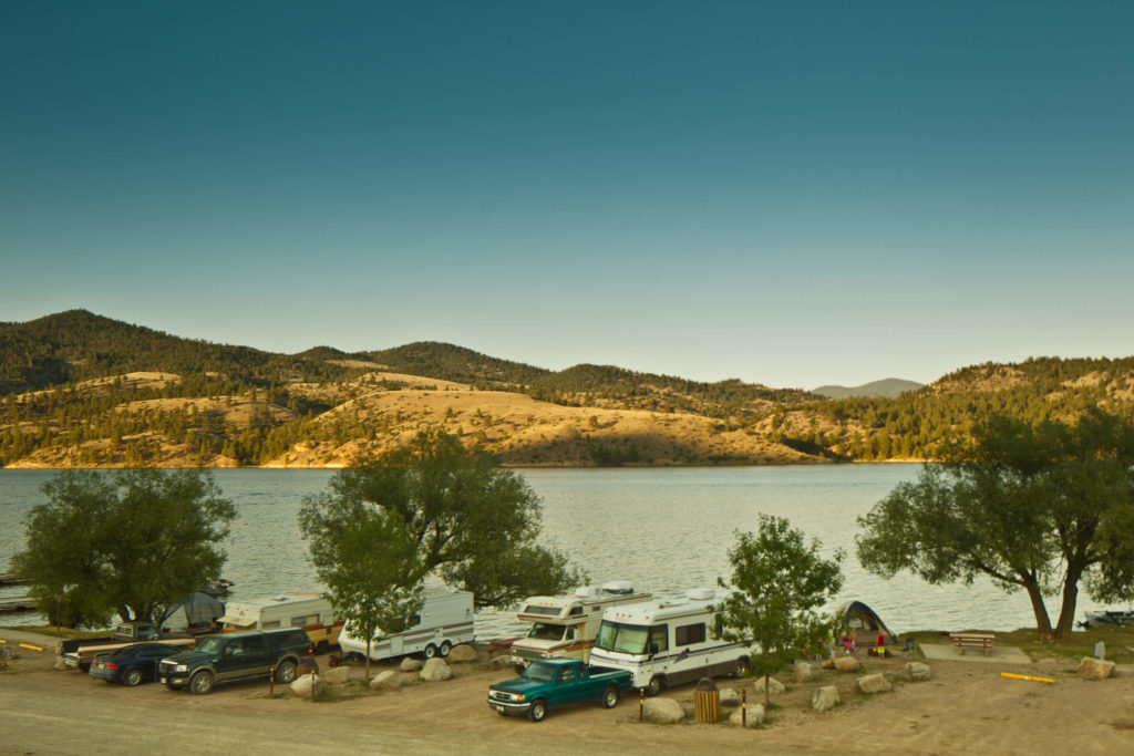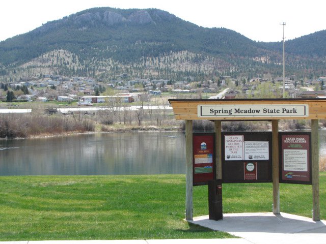
Spring Meadow Lake State Park
")


Looking for wildlife?
There are great wildlife viewing opportunities at Spring Meadow Lake State Park. You’ll find birds, rabbits, turtles and more! Looking for a nice walk? A 0.8-mile, self-guided nature trail circles the lake.
If you’re in need of a spot to fish, Spring Meadow Lake is your place. The lake is home to trout, bass and sunfish and there is even an ADA accessible fishing dock added to the park in 2011!
Even in winter, Spring Meadow Lake is perfect for recreation. The trail is open all winter and if it’s cold enough you can even fish or skate on the lake!
Unfortunately, your four-legged friend will have to stay home during the warmer months. Between April 15 and October 15 there are no dogs allowed in Spring Meadow Lake State Park.
Spring Meadow Lake State Park is a fed by a natural spring that feeds cool, clean water into the lake that is used for fishing, swimming, non-motorized boating, and even scuba diving. The lake and the state park land surrounding it were once an active gravel mine that was donated to the state in 1981.
")
Curious what other visitors have had to say about the park?


Park
Open all year
6am – 10pm-
Location
2715 Country Club Drive Helena, MT 59601
Parks That Others Are Visiting


Spring Meadow Lake State Park Read More »