Yellowstone Country

Missouri Headwaters State Park 2

Missouri Headwaters State Park

Missouri Headwaters State Park

Missouri Headwaters State Park

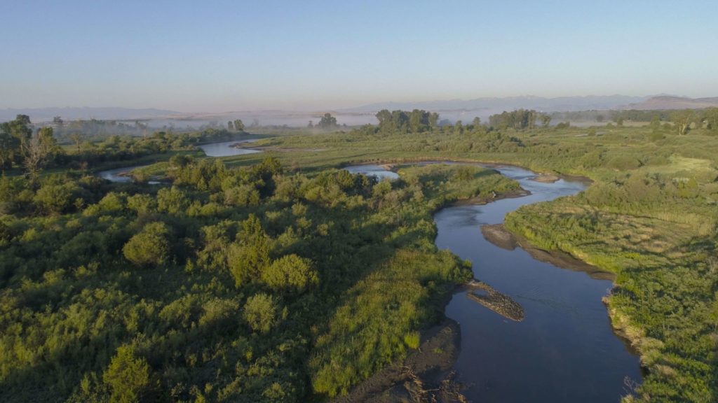
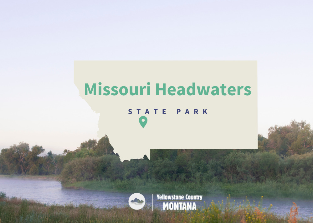
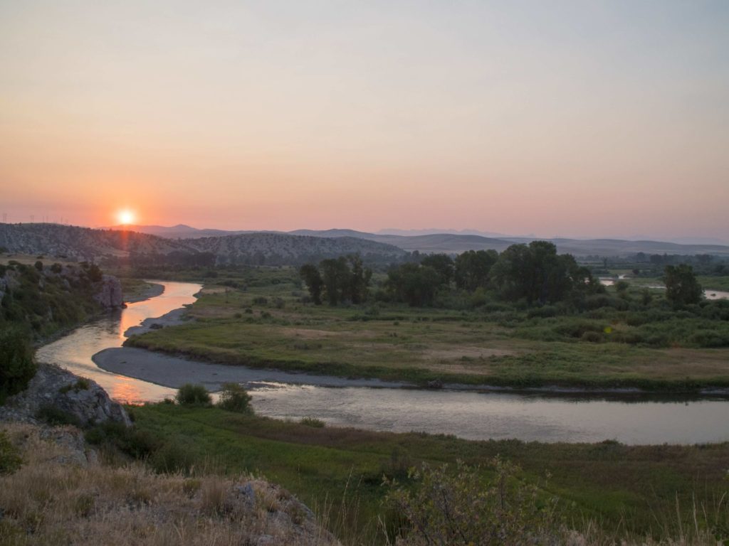
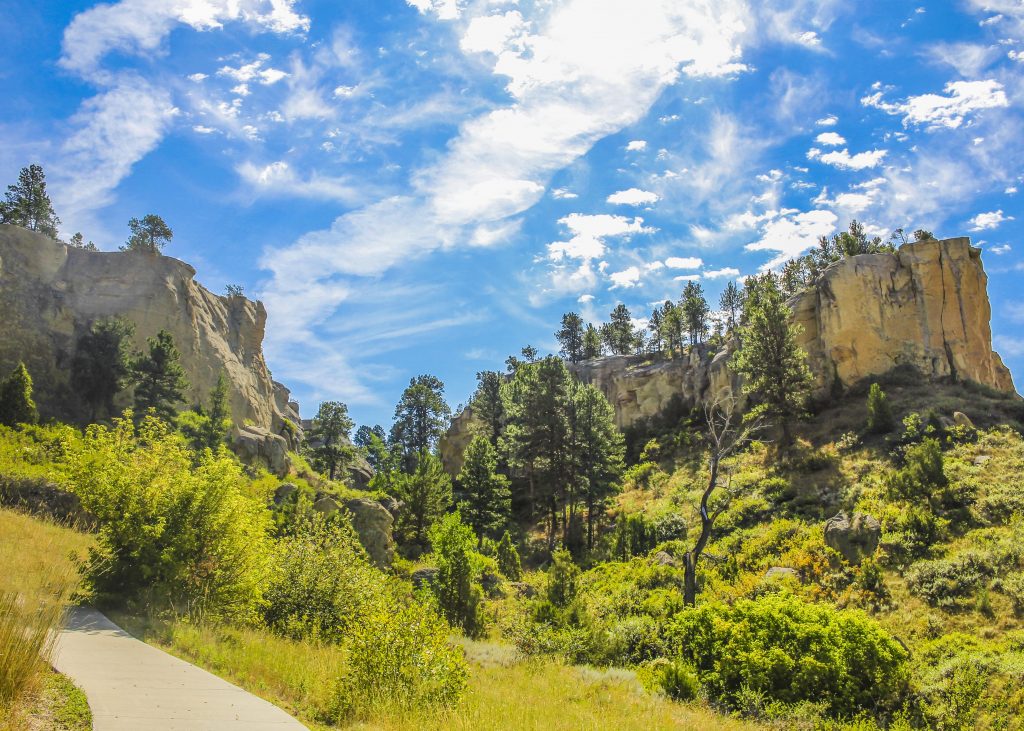
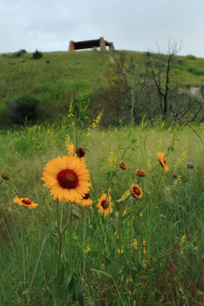
Missouri Headwaters State Park is just outside of Three Forks downtown and only 35 minutes outside of Bozeman. The convergence of the Jefferson, Madison, and Gallatin rivers is the start of the longest river in North America, the Missouri River.  Considered an essential part of the geography of the western U.S.

We are able to bring you valuable information about this amazing state park thanks to the support of:

Missouri Headwaters State Park
IMG_5965

Download Campsite Map

IMG_5966

Download Park Map

Things to do:

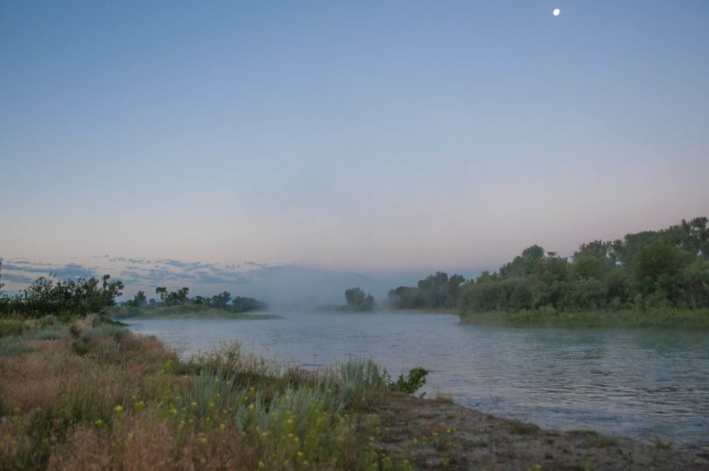
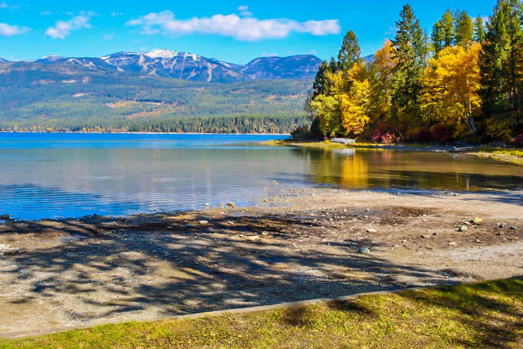
Just outside of Three Forks, you’ll find Missouri Headwaters State Park, the confluence of the Madison, Jefferson and Gallatin rivers which form the 2,300 mile Missouri River.

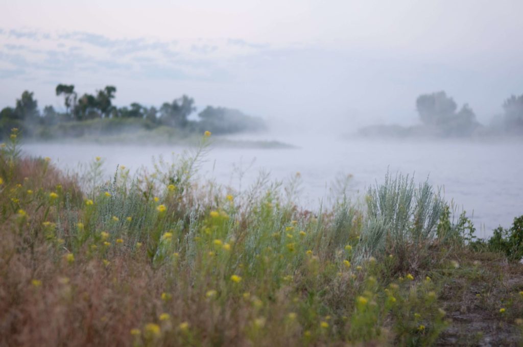
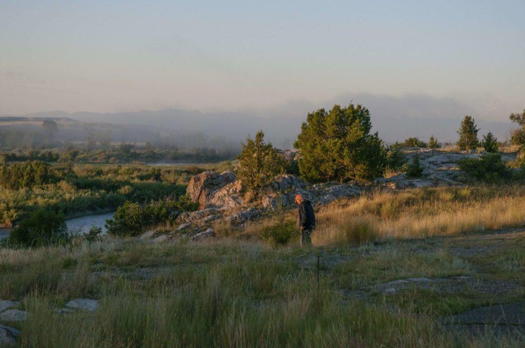
At Missouri Headwaters State Park, you can still find the area looking much as it did historically - with much of the region's abundant wildlife, vegetation, and scenic beauty preserved - making it clear what has attracted people for thousands of years.

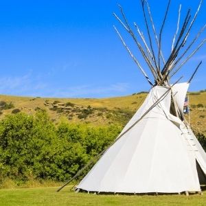
  • Looking to camp in history? There are 17 campsites available and you can even rent a tipi!
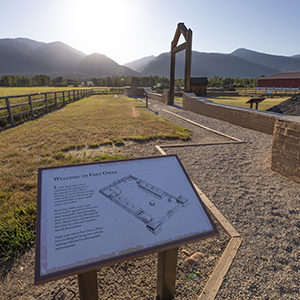
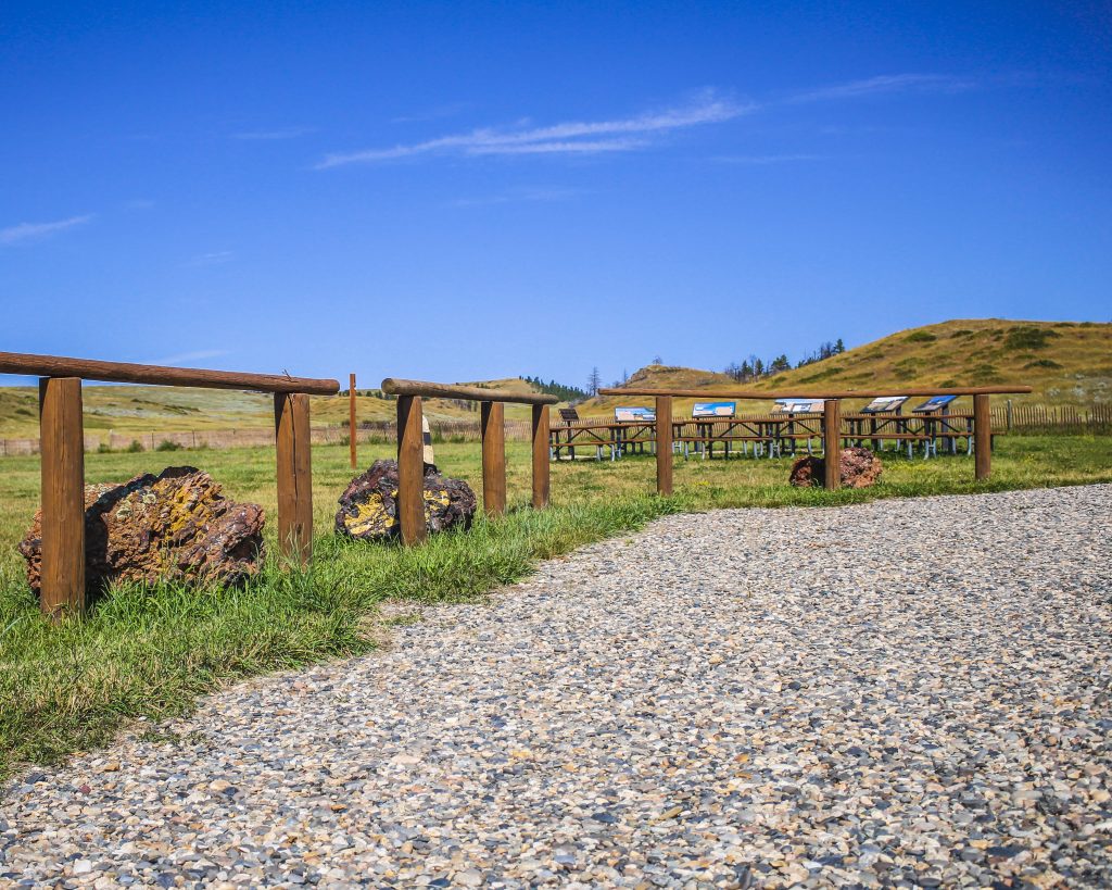
  • Interpretive displays describing the area’s cultural and natural history can be found to help guide you!
  • Take your bike for a spin on the many trails throughout the park!
  • Not much of a biker? Use the trails for a scenic hike instead!
  • Take a float down the river, you’ll have your choice of three!
  • Visit Fort Rock to take a look at historic pictographs. 

The three rivers that converge to form the Missouri River are named for President Thomas Jefferson, Secretary of State James Madison and Treasury Secretary Albert Gallatin!

The rich, fertile soil along with the proximity to fresh water, brought the Flathead, Bannock and Shoshone Indians to the region and later trappers and settlers, and now this beautiful land has been preserved as a state park for visitors just like you. 

Known for an abundance of wildlife, Missouri Headwaters State Park is a great place to explore, but don’t forget your bug spray! 

In addition to its vast natural resources and outdoor activities, Missouri Headwaters State Park also boasts extensive cultural history - ranging from the tribes that lived there beginning 3,000 years ago to Lewis and Clark to fur traders to settlers.

In late July 1805, William Clark and a small number from the Corps of Discovery reached the Headwaters while scouting for Shoshone Indians, whom they hoped would sell them horses. It was Sacajawea, who recognized the area as where she was captured as a child by the Hidatsa, that led the expedition successfully there.

While at the confluence, Clark left a note for Meriwether Lewis to find and later, Lewis Rock was named for him.

Did You Know

Curious what other visitors have had to say about the park?

"Very interesting spot to see three rivers come together to make the start of the Missouri River."

"Great campground and great camp host! Paul is awesome and hilarious! He also recommended good fishing spots and filled us in on the local moose population, (phone pics included!) This area is spectacular for bird watching, fishing, hiking and taking in some informative L&C history. Restrooms were spotless and smelled nothing like a vault toilet. Even enjoyed a lightning storm on our last night to wrap it all up. Great entertainment! We’ll probably be back in the fall with our little retro trailer for more fishing, exploring and dry-camping."

"We made a spur of the moment trip with 5 other couples from the Bitterroot Valley . Arrived and were met by the campground host, who was not only a character, but had this park and facilities absolutely spit- shined! The "Dogs on leash" rule is strictly enforced, but makes for a more enjoyable stay for all. My two Labradors liked the Host and the camping. Highly recommend."

"Quiet evening to enjoy the view. Be sure and climb up Fort Rock and enjoy the vistas from a little higher up. Easy walk up."


Quick Facts
  • pine icon

    Park

    Open Year-Round

  • pine icon

    Campground

    Open Year-Round​

  • pine icon

    Location

    1585 Trident Road

    Three Forks, MT 5975

Missouri Headwaters State Park Read More »

Madison Buffalo Jump State Park

Madison Buffalo Jump State Park

Madison Buffalo Jump State Park

Madison Buffalo Jump State Park

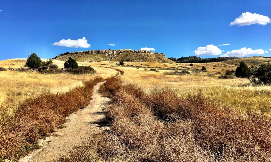
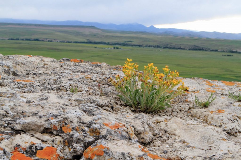
Take a picnic and hike to the top of a buffalo jump for impressive views of the Madison River Valley.

We are able to bring you valuable information about this amazing state park thanks to the support of:

Madison Buffalo Jump State Park
IMG_5965

Download Campsite Map

IMG_5966

Download Park Map

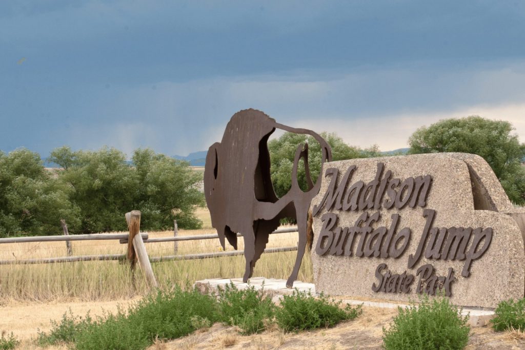
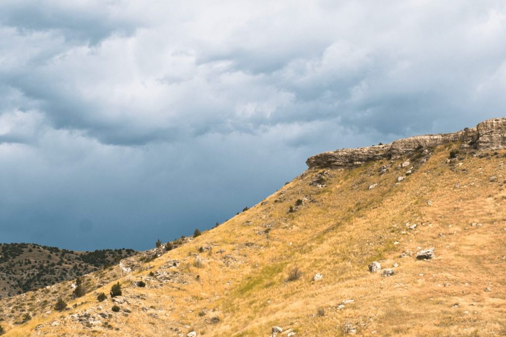
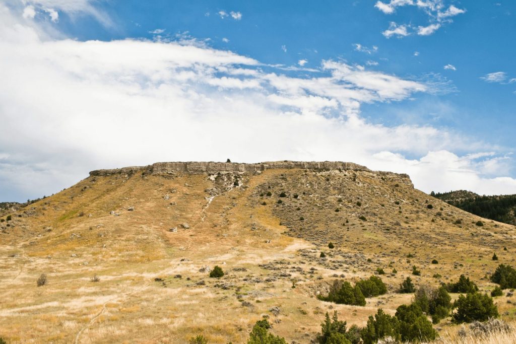
Situated on the edge of a broad valley carved by the Madison River, this high limestone cliff was used by Native Americans for 2,000 years - ending as recently as 200 years ago.

Native people stampeded vast herds of bison off this massive semicircular cliff, using them for food, clothing, shelter and provisions.

"Runners," highly skilled young men trained for speed and endurance, wore buffalo, antelope or wolf skins to lure bison to the "pishkun" or cliff. The buffalo jump was often the key to existence for native peoples.

Although the introduction of horses led to the abandonment of this jump sometime after 1700, the rugged outcropping now serves as an inspiring monument to the region's early inhabitants.

The park includes all the main geographical features of a jump site, and other evidence remains to provide visitors with a glimpse into the cultures that used this hunting style. Interpretive displays help visitors understand the dramatic events that took place here for nearly 2,000 years.

Buffalo bones still lie buried at the cliff's base, and archaeologists have located the tipi rings of an extensive village. With a little imagination, it is easy to visualize the drama of a buffalo drive, the thunderous roar of the stampede, the dramatic sight of the fall, and the frenzy of activity that followed.

Did You Know

Curious what other visitors have to say about the park?

"Cool historic site! Surprisingly this place was chillingly peaceful."

"A good hike, short and sweet. Nice interpretive signage at the end of the .5 mile hike. It's a good place to go to get out of the city for a while!"

"This place is worth the trip a little ways off of the main hiways. The Madison Buffalo Jump has a true unique historic feel to it. You really get the sense with all the info plaques etc. that you can imagine the buffalo careering off the edge. You get a real idea of what the indigenous people went through to survive. I would definitely recommend hiking up to the top either by attacking it straight on, or the easier route around the side."

"Worth the extra drive to get to the trailhead. There is a short mile and a half return hike to the interpretive kiosk and back. Very easy walking and the interpretive displays are very well done. The longer walk will take you to the top of the buffalo jump itself. Some steep climbs involved. It is not half as dangerous at the top as it sounds. The view across to the Madison River is exceptional."

"Wasn't wearing proper hiking attire to hike up the hill, but enjoyed the peaceful songs of the Meadowlarks."

Quick Facts
  • pine icon

    Park

    Open all year
    Daylight hours

  • pine icon

    Location

    6990 Buffalo Jump Road
    Three Forks, MT 59752

Madison Buffalo Jump State Park Read More »

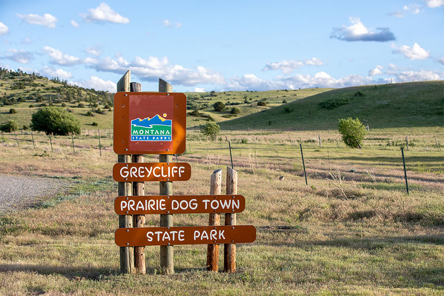
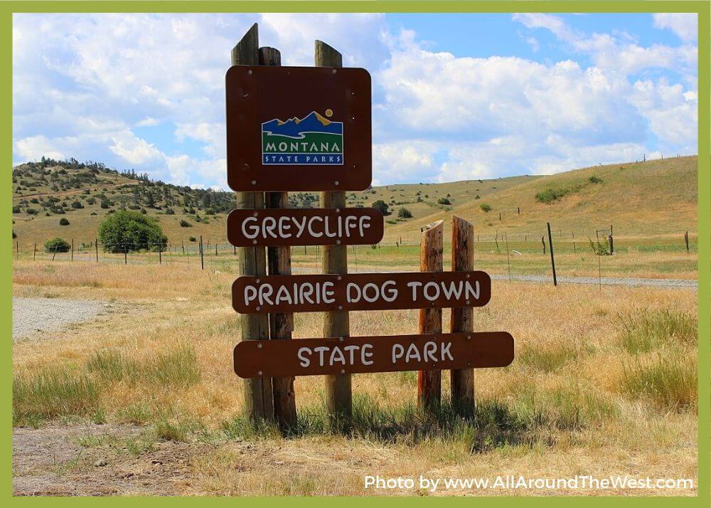
greycliff prairie dogtown state park

Greycliff Prairie Dog Town State Park

Greycliff Prairie Dog Town State Park

Greycliff Prairie Dog Town State Park

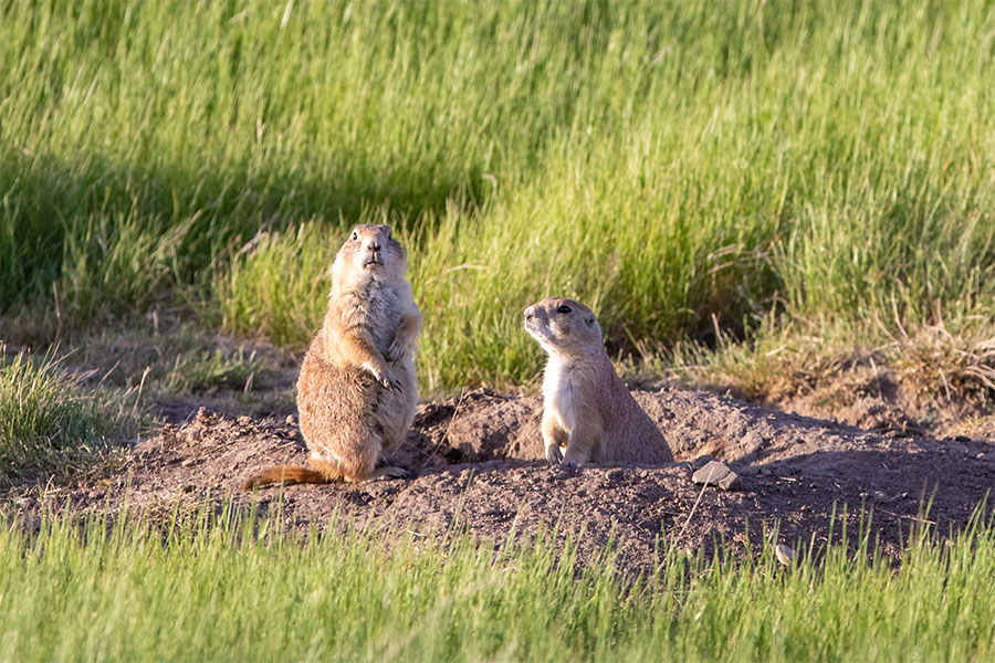
This black-tailed prairie dog community is protected and preserved through the efforts of Montana State Parks, the Nature Conservancy, and the Montana Department of Transportation.

We are able to bring you valuable information about this amazing state park thanks to the support of:

Yellowstone Country Logo
Greycliff Prairie Dog Town State Park
IMG_5965

Download Campsite Map

IMG_5966

Download Park Map

Prior to habitat destruction, this species may have been the most abundant prairie dog in central North America.

This species was one of two described by the Lewis and Clark Expedition in the journals and diaries of their expedition.

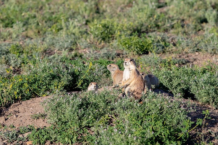
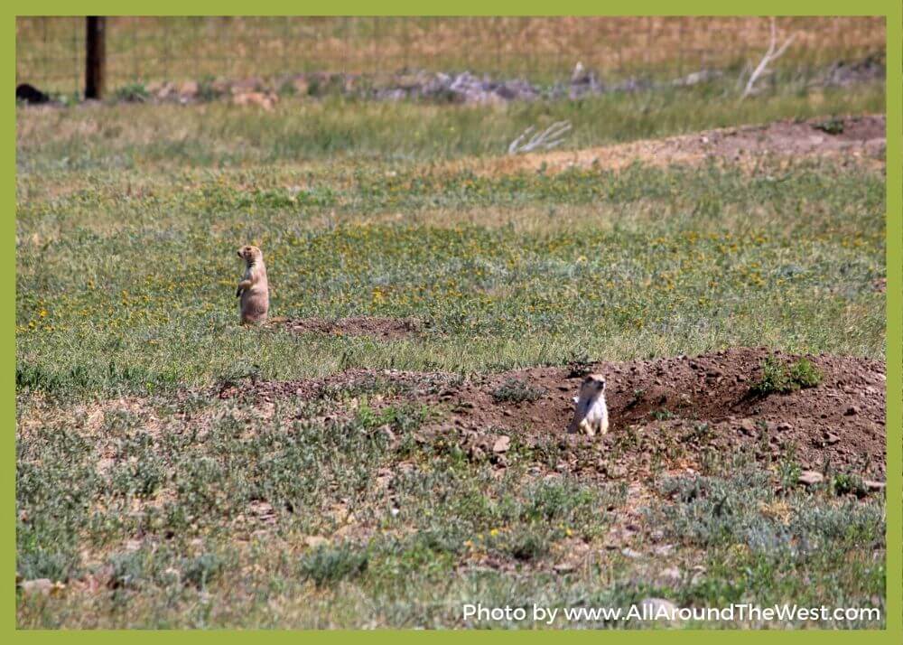
Black-tailed prairie dogs live in colonies. Colony size may range from five to thousands of individuals, and may be subdivided into two or more wards, based on topographic features, such as hills. Wards are usually subdivided into two or more coteries, which are composed of aggregates of highly territorial, harem-polygynous social groups.

Individuals within coteries are amicable with each other and hostile towards outside individuals. At the beginning of the breeding season, a coterie is typically composed of one adult male, three to four adult females, and several yearlings and juveniles of both sexes.

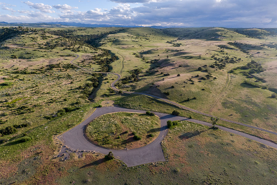
The parking area to watch the prairie dogs is disabled accessible and pets are allowed, but MUST BE ON LEASH.

A golf course is located nearby in Big Timber and also five museums.

This park is day use only.

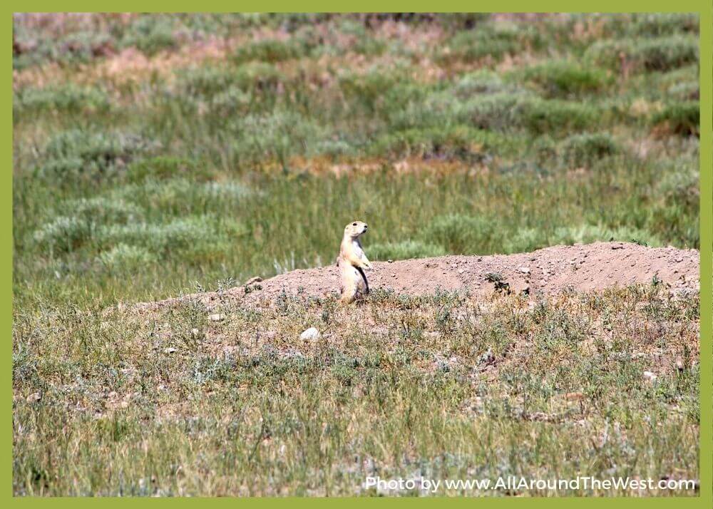
The black-tailed prairie dog (Cynomys ludovicianus) is a rodent of the family Sciuridae found in the Great Plains of North America from about the United States-Canada border to the United States-Mexico border.

Unlike some other prairie dogs, these animals do not truly hibernate. The black-tailed prairie dog can be seen above ground in midwinter.

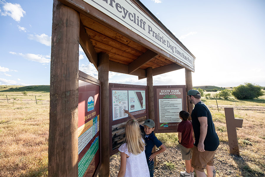
Interpretive displays tell the story of these small, entertaining prairie dogs and their role in the prairie ecosystem. These creatures have great ecological significance because they create patches of habitat that provide prey, shelter, and forage for a diverse number of animals, including burrowing owls, black-footed ferrets, and mountain plovers.

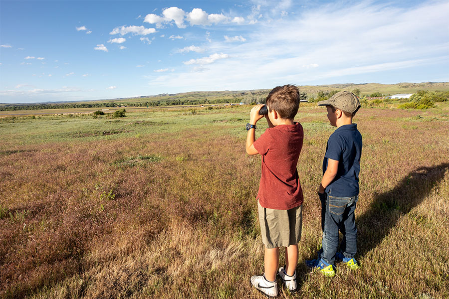
Enjoy the prairie dogs with your binoculars and cameras, but please do not feed them. The digestive tracts of wild animals are specifically adapted to natural foods; human foods can compromise their health and survival.

The site is 98 acres in size and is situated at 3,600 feet in elevation.

Did You Know

Curious what other visitors have had to say about the park?

"It was amazing if you are driving by, take the time to stop!"

"Quick stop off the highway to see some Prairie Dogs. During the winter the gates are locked but they allow foot visitors to walk on the path. Very windy most days but worth a short stop to see some little furry friends."

"Great road trip stop, bring binoculars to see them up close!"

"It's a brief stop but so worth it! Prairie Dogs are always out and chripin! Picnic benches but no restrooms. Park fee for people out of state. Quick on and off Highway access."


Quick Facts
  • pine icon

    Park

    Open All Year - Day Use only

  • pine icon

    Walk-In access only

    November 1 - April 1

  • pine icon

    Location

    Old US Hwy 10 Greycliff, MT 59033

Greycliff Prairie Dog Town State Park Read More »
Skip to content